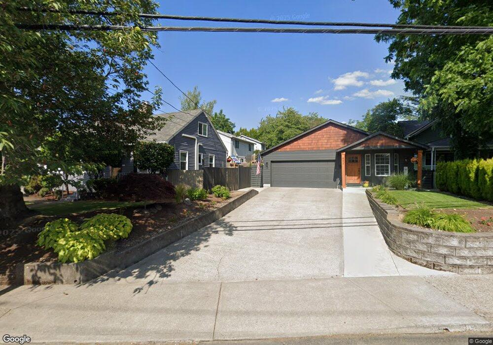
426 SE Roberts Ave Gresham, OR 97080
Historic Southeast NeighborhoodEstimated Value: $421,000 - $473,000
4
Beds
3
Baths
1,498
Sq Ft
$296/Sq Ft
Est. Value
About This Home
This home is located at 426 SE Roberts Ave, Gresham, OR 97080 and is currently estimated at $442,830, approximately $295 per square foot. 426 SE Roberts Ave is a home located in Multnomah County with nearby schools including East Gresham Elementary School, Dexter McCarty Middle School, and Gresham High School.
Ownership History
Date
Name
Owned For
Owner Type
Purchase Details
Closed on
Oct 14, 1999
Sold by
Martin Lorne
Bought by
Martin Lorne A and Martin Mary A
Current Estimated Value
Home Financials for this Owner
Home Financials are based on the most recent Mortgage that was taken out on this home.
Original Mortgage
$105,000
Interest Rate
7.77%
Mortgage Type
Credit Line Revolving
Purchase Details
Closed on
Jun 16, 1999
Sold by
Linthorst James and Linhorst Mary
Bought by
Martin Lorne
Create a Home Valuation Report for This Property
The Home Valuation Report is an in-depth analysis detailing your home's value as well as a comparison with similar homes in the area
Home Values in the Area
Average Home Value in this Area
Purchase History
| Date | Buyer | Sale Price | Title Company |
|---|---|---|---|
| Martin Lorne A | -- | Transnation Title Insurance | |
| Martin Lorne | $35,000 | Fidelity National Title Co |
Source: Public Records
Mortgage History
| Date | Status | Borrower | Loan Amount |
|---|---|---|---|
| Previous Owner | Martin Lorne A | $105,000 |
Source: Public Records
Tax History
| Year | Tax Paid | Tax Assessment Tax Assessment Total Assessment is a certain percentage of the fair market value that is determined by local assessors to be the total taxable value of land and additions on the property. | Land | Improvement |
|---|---|---|---|---|
| 2025 | $4,443 | $218,340 | -- | -- |
| 2024 | $4,253 | $211,990 | -- | -- |
| 2023 | $3,875 | $205,820 | $0 | $0 |
| 2022 | $3,767 | $199,830 | $0 | $0 |
| 2021 | $3,672 | $194,010 | $0 | $0 |
| 2020 | $3,455 | $188,360 | $0 | $0 |
| 2019 | $3,365 | $182,880 | $0 | $0 |
| 2018 | $3,208 | $177,560 | $0 | $0 |
| 2017 | $3,078 | $172,390 | $0 | $0 |
| 2016 | $2,714 | $167,370 | $0 | $0 |
Source: Public Records
Map
Nearby Homes
- 415 SE Roberts Ave
- 318 NE Roberts Ave Unit 308
- 318 NE Roberts Ave Unit 203
- 234 NE Cleveland Ave
- 491 NE Elliott Ave
- 210 NE 5th St
- 55 SW Lovhar Dr
- 0 NE 5th St
- 4740 SE 2nd St
- 4764 SE 2nd St
- 4667 SE 2nd St
- 511 SE 15th St
- 1414 SE Beech Place
- 1715 SE 5th St Unit 1725
- 1700 SE 4th St
- 0 SW Miller Ct Unit 470855683
- 638 SW 7th St
- 0 NE 6th St
- 450 SE Hogan Rd
- 660 NE 9th St
- 434 SE Roberts Ave
- 427 SE Kelly Ave
- 410 SE 4th St
- 423 SE 5th St
- 419 SE 5th St Unit 423
- 452 SE Roberts Ave
- 472 SE 4th St
- 408 SE 4th St
- 456 SE Roberts Ave
- 406 SE 4th St
- 484 SE 4th St
- 435 SE 5th St
- 416 SE Roberts Ave
- 497 SE 5th St
- 468 SE Kelly Ave
- 422 SE Kelly Ave
- 442 SE Kelly Ave
- 518 SE Roberts Ave
- 416 SE Kelly Ave
- 511 SE 5th St
Your Personal Tour Guide
Ask me questions while you tour the home.