426 Vale Rd Springfield, OH 45504
Cedar Hills/Broadview NeighborhoodEstimated Value: $136,403 - $243,000
2
Beds
1
Bath
900
Sq Ft
$222/Sq Ft
Est. Value
About This Home
This home is located at 426 Vale Rd, Springfield, OH 45504 and is currently estimated at $199,351, approximately $221 per square foot. 426 Vale Rd is a home located in Clark County with nearby schools including Possum Elementary School, Shawnee Middle School/High School, and Springfield Christian School.
Ownership History
Date
Name
Owned For
Owner Type
Purchase Details
Closed on
Jun 19, 1996
Sold by
Chapman Alvin D
Bought by
Blake William J and Blake Stacey
Current Estimated Value
Home Financials for this Owner
Home Financials are based on the most recent Mortgage that was taken out on this home.
Original Mortgage
$71,060
Outstanding Balance
$3,139
Interest Rate
8.29%
Mortgage Type
FHA
Estimated Equity
$196,212
Purchase Details
Closed on
Mar 22, 1993
Create a Home Valuation Report for This Property
The Home Valuation Report is an in-depth analysis detailing your home's value as well as a comparison with similar homes in the area
Home Values in the Area
Average Home Value in this Area
Purchase History
| Date | Buyer | Sale Price | Title Company |
|---|---|---|---|
| Blake William J | $71,900 | -- | |
| -- | -- | -- |
Source: Public Records
Mortgage History
| Date | Status | Borrower | Loan Amount |
|---|---|---|---|
| Open | Blake William J | $71,060 |
Source: Public Records
Tax History
| Year | Tax Paid | Tax Assessment Tax Assessment Total Assessment is a certain percentage of the fair market value that is determined by local assessors to be the total taxable value of land and additions on the property. | Land | Improvement |
|---|---|---|---|---|
| 2025 | $1,531 | $39,000 | $13,200 | $25,800 |
| 2024 | $1,491 | $30,510 | $9,560 | $20,950 |
| 2023 | $1,491 | $30,510 | $9,560 | $20,950 |
| 2022 | $1,479 | $30,510 | $9,560 | $20,950 |
| 2021 | $1,288 | $23,790 | $7,410 | $16,380 |
| 2020 | $1,299 | $23,790 | $7,410 | $16,380 |
| 2019 | $1,319 | $23,790 | $7,410 | $16,380 |
| 2018 | $1,594 | $28,380 | $6,730 | $21,650 |
| 2017 | $1,634 | $28,385 | $6,734 | $21,651 |
| 2016 | $1,474 | $28,385 | $6,734 | $21,651 |
| 2015 | $1,480 | $27,545 | $6,734 | $20,811 |
| 2014 | $1,484 | $27,545 | $6,734 | $20,811 |
| 2013 | $1,289 | $27,545 | $6,734 | $20,811 |
Source: Public Records
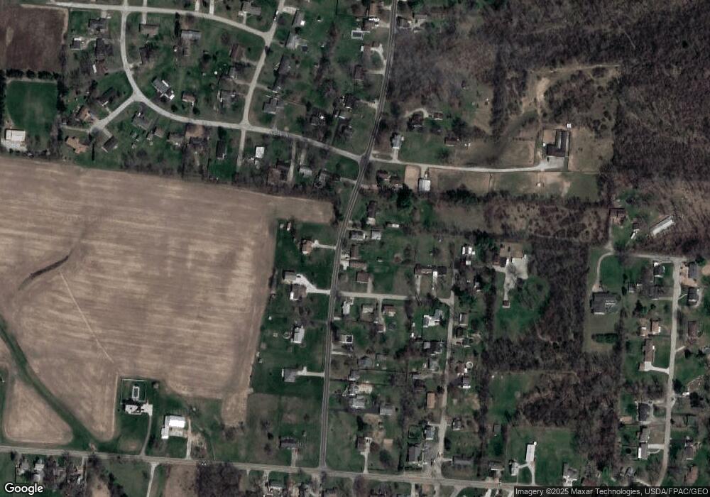
Map
Nearby Homes
- 3891 New Carlisle Pike
- 4461 New Carlisle Pike
- 624 Aberfelda Dr
- 124 Old Mill Rd
- 4638 W National Rd
- 190 Oakridge Dr
- 2805 Cottonwood Dr
- 3319 Wendover St
- 917 White Oak Dr
- 128 Ravenwood Dr
- 361 Upper Valley Pike
- 2743 Ironwood Dr
- 0 Upper Valley Pike
- 925 Upper Valley Pike
- 195 N Tecumseh Rd
- 3183 Lower Valley Pike
- 929 N Tecumseh Rd
- 1290 Red Oaks Cir
- 96 Eastwood Dr
- 3305 Turner Dr E
- 428 Vale Rd
- 4120 Grange Ave
- 444 Vale Rd
- 407 Vale Rd
- 4125 Grange Ave
- 4121 Grange Ave
- 445 Vale Rd
- 345 Vale Rd
- 4112 Grange Ave
- 4119 Grange Ave
- 4009 Grange Hall Rd
- 306 Vale Rd
- 341 Saint Paul Ave
- 4021 Grange Hall Rd
- 450 Vale Rd
- 279 Vale Rd
- 329 Saint Paul Ave
- 252 Vale Rd
- 4033 Grange Hall Rd
- 323 Saint Paul Ave
Your Personal Tour Guide
Ask me questions while you tour the home.