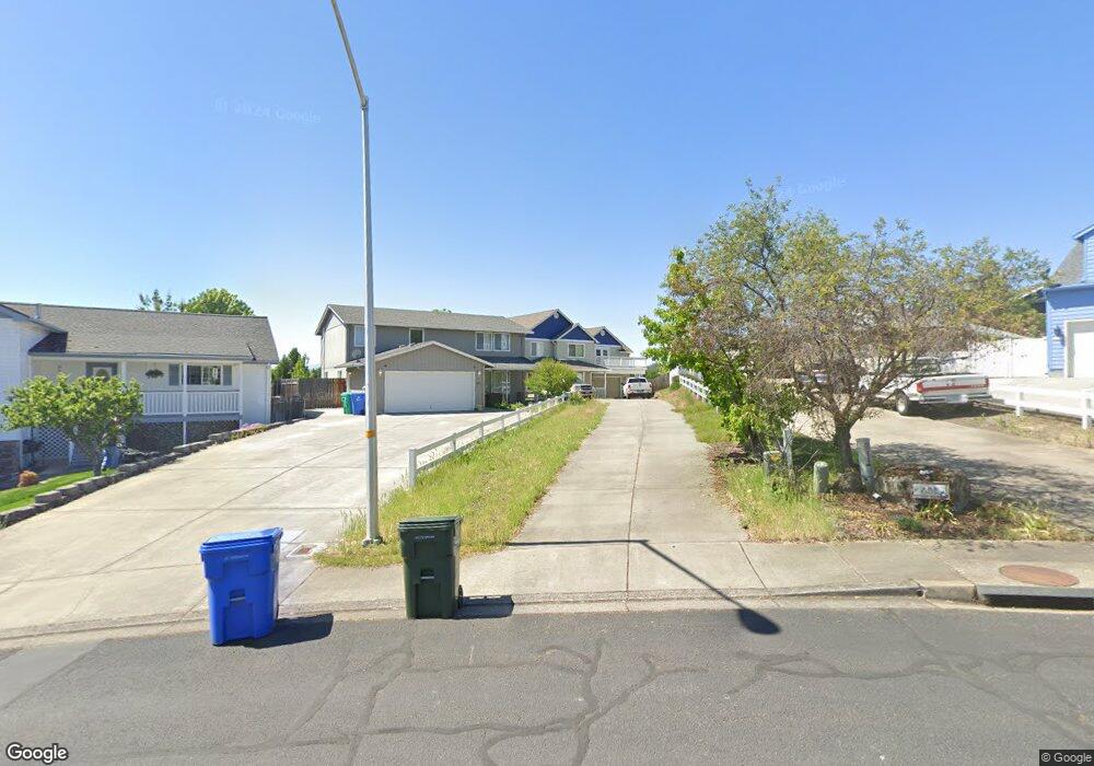
429 Phyllis Dr Eagle Point, OR 97524
Estimated Value: $452,804 - $510,000
3
Beds
3
Baths
2,214
Sq Ft
$217/Sq Ft
Est. Value
About This Home
This home is located at 429 Phyllis Dr, Eagle Point, OR 97524 and is currently estimated at $479,701, approximately $216 per square foot. 429 Phyllis Dr is a home located in Jackson County with nearby schools including Eagle Rock Elementary School, Eagle Point Middle School, and White Mountain Middle School.
Ownership History
Date
Name
Owned For
Owner Type
Purchase Details
Closed on
Jul 18, 2013
Sold by
Dodson Melanie A and Dodson Jon C
Bought by
Dodson Melanie A
Current Estimated Value
Home Financials for this Owner
Home Financials are based on the most recent Mortgage that was taken out on this home.
Original Mortgage
$259,067
Outstanding Balance
$188,735
Interest Rate
4.27%
Mortgage Type
New Conventional
Estimated Equity
$290,966
Purchase Details
Closed on
Apr 16, 2004
Sold by
Black Brent
Bought by
Dodson Melanie A and Dodson Jon C
Home Financials for this Owner
Home Financials are based on the most recent Mortgage that was taken out on this home.
Original Mortgage
$185,520
Interest Rate
4%
Mortgage Type
Purchase Money Mortgage
Purchase Details
Closed on
Mar 31, 2003
Sold by
Stonebilt Inc
Bought by
Black Brent
Create a Home Valuation Report for This Property
The Home Valuation Report is an in-depth analysis detailing your home's value as well as a comparison with similar homes in the area
Home Values in the Area
Average Home Value in this Area
Purchase History
| Date | Buyer | Sale Price | Title Company |
|---|---|---|---|
| Dodson Melanie A | -- | Service Link | |
| Dodson Melanie A | $231,900 | Amerititle | |
| Black Brent | $42,500 | Lawyers Title Insurance Corp |
Source: Public Records
Mortgage History
| Date | Status | Borrower | Loan Amount |
|---|---|---|---|
| Open | Dodson Melanie A | $259,067 | |
| Closed | Dodson Melanie A | $185,520 | |
| Closed | Dodson Melanie A | $46,380 |
Source: Public Records
Tax History
| Year | Tax Paid | Tax Assessment Tax Assessment Total Assessment is a certain percentage of the fair market value that is determined by local assessors to be the total taxable value of land and additions on the property. | Land | Improvement |
|---|---|---|---|---|
| 2026 | $3,747 | $275,410 | -- | -- |
| 2025 | $3,659 | $267,390 | $112,630 | $154,760 |
| 2024 | $3,659 | $259,610 | $109,350 | $150,260 |
| 2023 | $3,535 | $252,050 | $106,170 | $145,880 |
| 2022 | $3,438 | $252,050 | $106,170 | $145,880 |
| 2021 | $3,337 | $244,710 | $103,080 | $141,630 |
| 2020 | $3,545 | $237,590 | $100,070 | $137,520 |
| 2019 | $3,490 | $223,960 | $94,330 | $129,630 |
| 2018 | $3,424 | $217,440 | $91,590 | $125,850 |
| 2017 | $3,340 | $217,440 | $91,590 | $125,850 |
| 2016 | $3,275 | $204,970 | $86,330 | $118,640 |
| 2015 | $3,168 | $204,970 | $86,330 | $118,640 |
| 2014 | $3,021 | $193,210 | $81,370 | $111,840 |
Source: Public Records
Map
Nearby Homes
- 250 Tierra Cir
- 911 Stonewater Dr
- 917 Stonewater Dr
- 912 Stonewater Dr
- 1023 Highlands Dr
- 925 Sellwood Dr
- 403 N Deanjou Ave
- 71 Tracy Ave Unit 71 & 73
- 407 N Deanjou Ave
- 110 Linton Way
- 426 Westminster Dr
- 208 Northview Dr Unit 1B
- 438 Westminster Dr
- 945 Win Way
- 1017 Havenwood Dr
- 584 Barton Rd
- 190 Barton Rd
- 318 S Buchanan Ave
- 650 Sarah Ln
- 633 E Archwood Dr Unit 89
- 429 Phyllis Dr Unit 6
- 425 Phyllis Dr Unit 5
- 425 Phyllis Dr
- 431 Phyllis Dr Unit 7
- 431 Phyllis Dr
- 575 Clearview Way
- 578 Clearview Way
- 421 Phyllis Dr Unit 4
- 421 Phyllis Dr
- 435 Phyllis Dr Unit 8
- 435 Phyllis Dr
- 473 Merlee Cir
- 475 Merlee Cir
- 417 Phyllis Dr Unit 3
- 417 Phyllis Dr
- 563 N Heights Dr
- 467 Merlee Cir
- 575 N Heights Dr
- 581 Clearview Way
- 439 Phyllis Dr Unit 9
Your Personal Tour Guide
Ask me questions while you tour the home.