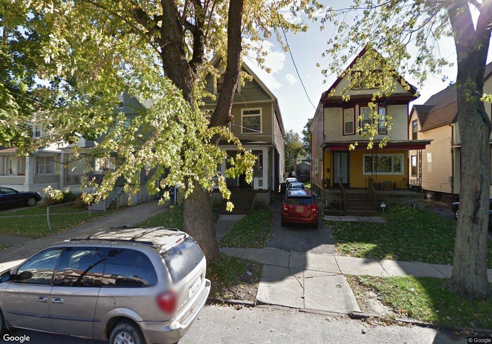
43 Sheffield Ave Buffalo, NY 14220
South Park NeighborhoodEstimated Value: $225,514 - $284,000
6
Beds
2
Baths
2,296
Sq Ft
$110/Sq Ft
Est. Value
About This Home
This home is located at 43 Sheffield Ave, Buffalo, NY 14220 and is currently estimated at $252,379, approximately $109 per square foot. 43 Sheffield Ave is a home located in Erie County with nearby schools including Western New York Maritime Charter School, Mount Mercy Academy, and Bishop Timon-St. Jude High School.
Ownership History
Date
Name
Owned For
Owner Type
Purchase Details
Closed on
Feb 3, 2010
Sold by
Federal Home Loan Mortgage Corporation
Bought by
Stramowski Christopher
Current Estimated Value
Purchase Details
Closed on
Dec 8, 2009
Sold by
Zappia Michelle and Zappia David
Bought by
Federal Home Loan Mortgage Corp
Purchase Details
Closed on
Mar 29, 2006
Sold by
Zappia David and Zappia Michelle
Bought by
Zappia Michelle
Create a Home Valuation Report for This Property
The Home Valuation Report is an in-depth analysis detailing your home's value as well as a comparison with similar homes in the area
Home Values in the Area
Average Home Value in this Area
Purchase History
| Date | Buyer | Sale Price | Title Company |
|---|---|---|---|
| Stramowski Christopher | $23,000 | None Available | |
| Federal Home Loan Mortgage Corp | -- | None Available | |
| Zappia Michelle | -- | None Available |
Source: Public Records
Tax History Compared to Growth
Tax History
| Year | Tax Paid | Tax Assessment Tax Assessment Total Assessment is a certain percentage of the fair market value that is determined by local assessors to be the total taxable value of land and additions on the property. | Land | Improvement |
|---|---|---|---|---|
| 2024 | $628 | $112,000 | $9,000 | $103,000 |
| 2023 | $567 | $112,000 | $9,000 | $103,000 |
| 2022 | $563 | $112,000 | $9,000 | $103,000 |
| 2021 | $563 | $112,000 | $9,000 | $103,000 |
| 2020 | $418 | $112,000 | $9,000 | $103,000 |
| 2019 | $1,490 | $54,300 | $5,200 | $49,100 |
| 2018 | $1,402 | $54,300 | $5,200 | $49,100 |
| 2017 | $323 | $54,300 | $5,200 | $49,100 |
| 2016 | $1,322 | $54,300 | $5,200 | $49,100 |
| 2015 | -- | $54,300 | $5,200 | $49,100 |
| 2014 | -- | $54,300 | $5,200 | $49,100 |
Source: Public Records
Map
Nearby Homes
- 53 Choate Ave
- 2065 S Park Ave
- 66 Choate Ave
- 189 W Woodside Ave
- 52 Harding Rd
- 89 Mariemont Ave
- 53 Richfield Ave
- 33 Harding Rd
- 117 Bloomfield Ave
- 32 Richfield Ave
- 166 Amber St
- 190 Crystal Ave
- 98 Ridgewood Rd
- 889 Tifft St
- 95 Columbus Ave
- 51 Olcott Ave
- 67 Lockwood Ave
- 16 Lorraine Ave
- 289 Okell St
- 29 Allegany St
- 41 Sheffield Ave
- 47 Sheffield Ave
- 49 Sheffield Ave
- 39 Sheffield Ave
- 35 Sheffield Ave
- 53 Sheffield Ave
- 44 Woodside Ave Unit Upper
- 44 Woodside Ave
- 48 Woodside Ave
- 42 Woodside Ave
- 31 Sheffield Ave
- 55 Sheffield Ave
- 50 Woodside Ave
- 40 Woodside Ave
- 54 Woodside Ave
- 38 Woodside Ave
- 59 Sheffield Ave
- 29 Sheffield Ave
- 32 Woodside Ave
- 56 Woodside Ave