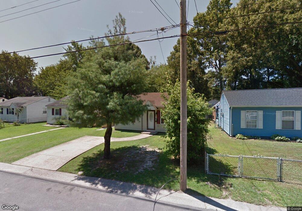
431 Marion Rd Hampton, VA 23663
Buckroe Beach NeighborhoodEstimated Value: $160,000 - $188,000
2
Beds
1
Bath
624
Sq Ft
$272/Sq Ft
Est. Value
About This Home
This home is located at 431 Marion Rd, Hampton, VA 23663 and is currently estimated at $169,441, approximately $271 per square foot. 431 Marion Rd is a home located in Hampton City with nearby schools including Capt. John Smith Elementary School, Benjamin Syms Middle School, and Phoebus High School.
Ownership History
Date
Name
Owned For
Owner Type
Purchase Details
Closed on
Sep 15, 2022
Sold by
Stover Alicia
Bought by
Stedry Darryl
Current Estimated Value
Home Financials for this Owner
Home Financials are based on the most recent Mortgage that was taken out on this home.
Original Mortgage
$140,415
Outstanding Balance
$134,118
Interest Rate
5.22%
Mortgage Type
New Conventional
Estimated Equity
$35,323
Purchase Details
Closed on
Feb 13, 2020
Sold by
Benson Audrey Elizabeth Mason and Mason Charles E
Bought by
Stover Alicia
Home Financials for this Owner
Home Financials are based on the most recent Mortgage that was taken out on this home.
Original Mortgage
$85,860
Interest Rate
3.6%
Mortgage Type
New Conventional
Create a Home Valuation Report for This Property
The Home Valuation Report is an in-depth analysis detailing your home's value as well as a comparison with similar homes in the area
Home Values in the Area
Average Home Value in this Area
Purchase History
| Date | Buyer | Sale Price | Title Company |
|---|---|---|---|
| Stedry Darryl | $138,000 | Viking Title | |
| Stover Alicia | $95,400 | Attorney |
Source: Public Records
Mortgage History
| Date | Status | Borrower | Loan Amount |
|---|---|---|---|
| Open | Stedry Darryl | $140,415 | |
| Previous Owner | Stover Alicia | $85,860 |
Source: Public Records
Tax History
| Year | Tax Paid | Tax Assessment Tax Assessment Total Assessment is a certain percentage of the fair market value that is determined by local assessors to be the total taxable value of land and additions on the property. | Land | Improvement |
|---|---|---|---|---|
| 2025 | $1,974 | $166,100 | $53,000 | $113,100 |
| 2024 | $1,758 | $152,900 | $53,000 | $99,900 |
| 2023 | $1,506 | $129,800 | $42,500 | $87,300 |
| 2022 | $1,412 | $119,700 | $42,500 | $77,200 |
| 2021 | $1,344 | $97,900 | $35,000 | $62,900 |
| 2020 | $1,166 | $94,000 | $13,800 | $80,200 |
| 2019 | $595 | $48,000 | $30,600 | $17,400 |
| 2018 | $828 | $70,300 | $30,600 | $39,700 |
| 2017 | $966 | $0 | $0 | $0 |
| 2016 | $966 | $70,300 | $0 | $0 |
| 2015 | $966 | $0 | $0 | $0 |
| 2014 | $1,080 | $73,600 | $30,600 | $43,000 |
Source: Public Records
Map
Nearby Homes
- 438 Shelton Rd
- 604 Old Buckroe Rd
- 6 Langille Ct
- 1909 Long Green Ln
- 1915 Long Green Ln
- 1530 Morgan Dr
- 1333 N Mallory St
- 1504 E Pembroke Ave
- 414 Institute Dr
- 1510 Denton Dr
- 401 Institute Dr
- 1445 Oakcrest Dr
- 1527 Grove St
- 1923 Rawood Dr
- 14 Henderson Ln
- 1841 Kensington Dr
- 64 Ireland St
- 1814 Somerville Dr
- 27 E Berkley Dr
- 1642 N Mallory St
Your Personal Tour Guide
Ask me questions while you tour the home.