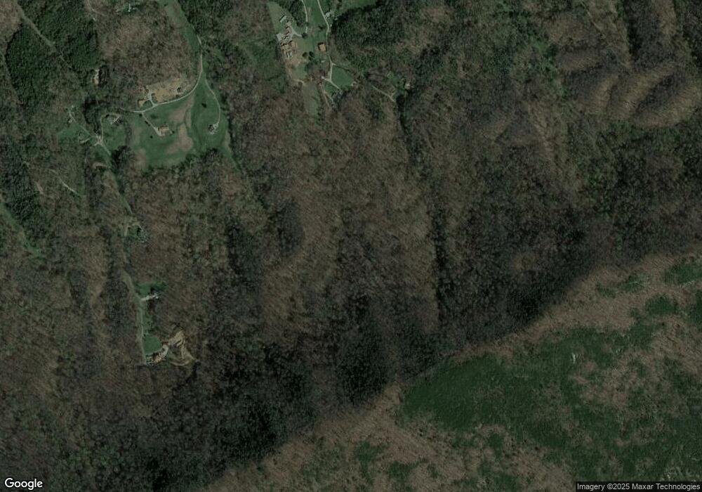
431 Redbud Cir Luttrell, TN 37779
Estimated Value: $399,000 - $562,000
Studio
3
Baths
1,800
Sq Ft
$277/Sq Ft
Est. Value
About This Home
This home is located at 431 Redbud Cir, Luttrell, TN 37779 and is currently estimated at $498,623, approximately $277 per square foot. 431 Redbud Cir is a home located in Union County with nearby schools including Luttrell Elementary School, H Maynard Middle School, and Union County High School.
Ownership History
Date
Name
Owned For
Owner Type
Purchase Details
Closed on
Sep 6, 1996
Bought by
Ward Frank B Jr Tonia
Current Estimated Value
Purchase Details
Closed on
Feb 24, 1996
Sold by
Richard Morse
Bought by
Mark Northern
Purchase Details
Closed on
Jan 14, 1994
Purchase Details
Closed on
Oct 20, 1990
Bought by
Piper Eugene and Richard Morse
Purchase Details
Closed on
May 20, 1982
Bought by
Piper Eugene
Create a Home Valuation Report for This Property
The Home Valuation Report is an in-depth analysis detailing your home's value as well as a comparison with similar homes in the area
Home Values in the Area
Average Home Value in this Area
Purchase History
| Date | Buyer | Sale Price | Title Company |
|---|---|---|---|
| Ward Frank B Jr Tonia | $45,000 | -- | |
| Ward Frank B Jr Tonia | $45,000 | -- | |
| Mark Northern | $30,900 | -- | |
| Mark Northern | $30,900 | -- | |
| -- | -- | -- | |
| -- | -- | -- | |
| Piper Eugene | -- | -- | |
| Piper Eugene | -- | -- | |
| Piper Eugene | -- | -- | |
| Piper Eugene | -- | -- |
Source: Public Records
Tax History Compared to Growth
Tax History
| Year | Tax Paid | Tax Assessment Tax Assessment Total Assessment is a certain percentage of the fair market value that is determined by local assessors to be the total taxable value of land and additions on the property. | Land | Improvement |
|---|---|---|---|---|
| 2025 | $1,300 | $68,400 | $0 | $0 |
| 2024 | $1,300 | $68,400 | $14,025 | $54,375 |
| 2023 | $1,300 | $68,400 | $14,025 | $54,375 |
| 2022 | $1,087 | $68,400 | $14,025 | $54,375 |
| 2021 | $1,230 | $57,500 | $12,175 | $45,325 |
| 2020 | $1,230 | $57,500 | $12,175 | $45,325 |
| 2019 | $1,230 | $57,500 | $12,175 | $45,325 |
| 2018 | $1,180 | $57,500 | $12,175 | $45,325 |
| 2017 | $1,180 | $55,125 | $12,175 | $42,950 |
| 2016 | $1,099 | $50,625 | $10,650 | $39,975 |
| 2015 | $1,093 | $50,625 | $10,650 | $39,975 |
| 2014 | $901 | $50,345 | $0 | $0 |
Source: Public Records
Map
Nearby Homes
- 0 Wolfenbarger Tract 1 Unit 1294792
- 3243 Highway 61 E
- 3528 Highway 61 E
- 0 Long Acres Rd Unit 1319102
- 182 Tazewell Pike
- 259 Little Tater Valley Rd
- 2783 Rutledge Pike
- 1644 Round Barn Rd
- 319 Tater Valley Rd
- 738 & 742 Archer Rd
- 1617 Bull Run Rd
- 3 Rutledge Lot 3 Pike
- 0 Tazewell Pike Unit 1312170
- 505 Mckinney Rd
- 3419 Rutledge Pike
- 295 Archer Rd
- 10728 Mountain Rd
- 0 Washington Pike Unit 1228004
- 242 Lewis Ln
- 446 Emory Rd
- 520 Redbud Cir
- 400 Redbud Cir
- 300 Redbud Cir
- 134 Wolfenbarger Rd
- 102 Wolfenbarger Rd
- 112 Wolfenbarger Rd
- 155 Wolfenbarger Rd
- 166 Wolfenbarger Rd
- 171 Wolfenbarger Rd
- 208 Wolfenbarger Rd
- 417 Redbud Cir
- 201 Wolfenbarger Rd
- 190 Wolfenbarger Rd
- 196 Wolfenbarger Rd
- 170 Redbud Cir
- 245 Rocky Top Rd
- 0 Red Bud Cir
- 194 Redbud Cir
- 374 Donahue Rd
- 144 Redbud Cir
