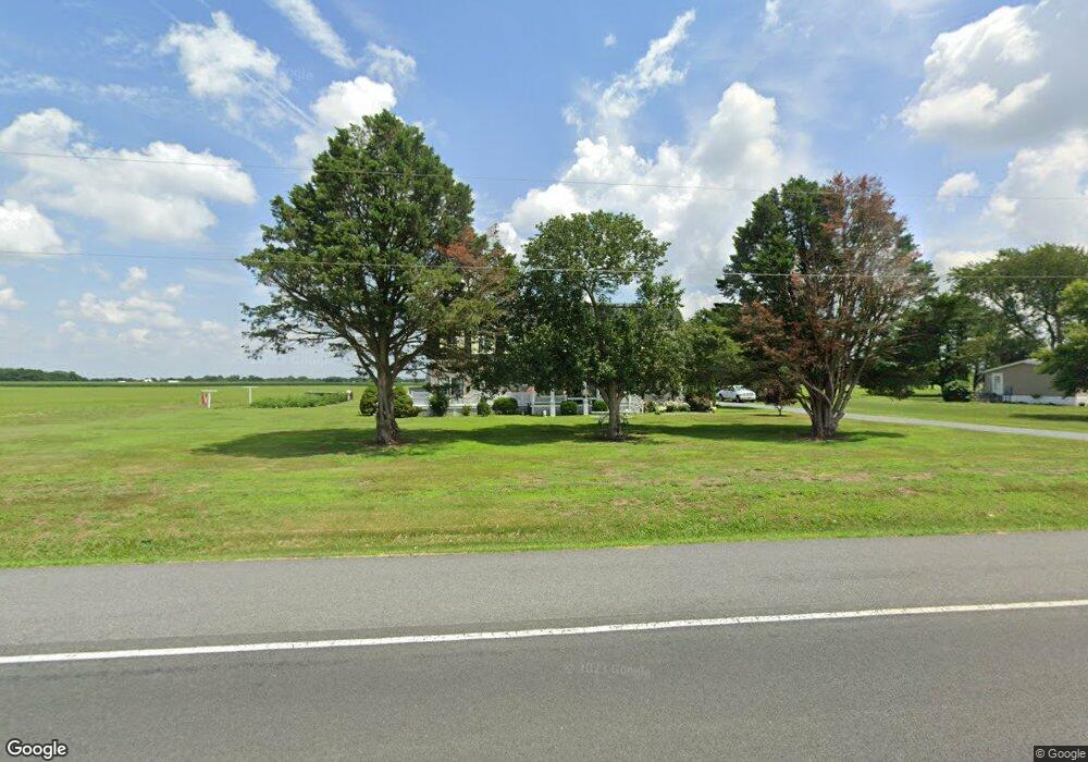
4334 Waddells Corner Rd Hurlock, MD 21643
Estimated Value: $333,496 - $575,000
--
Bed
2
Baths
3,886
Sq Ft
$107/Sq Ft
Est. Value
About This Home
This home is located at 4334 Waddells Corner Rd, Hurlock, MD 21643 and is currently estimated at $417,124, approximately $107 per square foot. 4334 Waddells Corner Rd is a home located in Dorchester County with nearby schools including Hurlock Elementary School, North Dorchester Middle School, and North Dorchester High School.
Ownership History
Date
Name
Owned For
Owner Type
Purchase Details
Closed on
Feb 25, 2022
Sold by
Roe Dale M
Bought by
Roe Dale M and Roe Elizabeth A
Current Estimated Value
Home Financials for this Owner
Home Financials are based on the most recent Mortgage that was taken out on this home.
Original Mortgage
$150,000
Outstanding Balance
$139,897
Interest Rate
3.92%
Mortgage Type
Credit Line Revolving
Estimated Equity
$277,227
Purchase Details
Closed on
Jan 4, 1984
Sold by
Katinsky John and Katinsky Lorraine C
Bought by
Roe Dale and Roe Annie L
Create a Home Valuation Report for This Property
The Home Valuation Report is an in-depth analysis detailing your home's value as well as a comparison with similar homes in the area
Home Values in the Area
Average Home Value in this Area
Purchase History
| Date | Buyer | Sale Price | Title Company |
|---|---|---|---|
| Roe Dale M | -- | Evans Title | |
| Roe Dale | $13,000 | -- |
Source: Public Records
Mortgage History
| Date | Status | Borrower | Loan Amount |
|---|---|---|---|
| Open | Roe Dale M | $150,000 |
Source: Public Records
Tax History Compared to Growth
Tax History
| Year | Tax Paid | Tax Assessment Tax Assessment Total Assessment is a certain percentage of the fair market value that is determined by local assessors to be the total taxable value of land and additions on the property. | Land | Improvement |
|---|---|---|---|---|
| 2025 | $2,721 | $248,767 | $0 | $0 |
| 2024 | $2,462 | $220,900 | $44,600 | $176,300 |
| 2023 | $2,462 | $215,967 | $0 | $0 |
| 2022 | $4,813 | $211,033 | $0 | $0 |
| 2021 | $2,294 | $206,100 | $39,600 | $166,500 |
| 2020 | $2,294 | $200,867 | $0 | $0 |
| 2019 | $2,235 | $195,633 | $0 | $0 |
| 2018 | $2,180 | $190,400 | $39,600 | $150,800 |
| 2017 | $1,774 | $187,867 | $0 | $0 |
| 2016 | -- | $185,333 | $0 | $0 |
| 2015 | -- | $182,800 | $0 | $0 |
| 2014 | -- | $182,800 | $0 | $0 |
Source: Public Records
Map
Nearby Homes
- 6539 Cabin Ridge Rd
- 4308 Blink Horn Rd
- 6804 Pine Bark Dr
- 6802 Pine Bark Dr
- Fairview Plan at Pine Top Village
- Dogwood Plan at Pine Top Village
- Elder Plan at Pine Top Village
- Cedar Plan at Pine Top Village
- Hazel Plan at Pine Top Village
- 6801 Pine Bark Dr
- Tupelo Plan at Pine Top Village
- Birch Plan at Pine Top Village
- Aspen Plan at Pine Top Village
- 6803 Pine Bark Dr
- 4445 Rolling Acres Dr
- 6706 Jayar Way
- 6532 Pine Top Rd
- 525 Academy St
- 405 Collins Ave
- 6720 Bobtown Rd
- 4336 Waddells Corner Rd
- 4340 Waddells Corner Rd
- 4342 Waddells Corner Rd
- 4319 Waddells Corner Rd
- 4346 Waddells Corner Rd
- 6611 E New Market Ellwood Rd
- 6569 Cabin Ridge Rd
- 6672 Cabin Creek Rd
- 6565 Cabin Ridge Rd
- 6604 E New Market Ellwood Rd
- 6606 New Market Ellwoo
- 6606 E New Market Ellwood Rd
- 6671 Cabin Creek Rd
- 4227 Ridge Crest Rd
- 6571 Cabin Ridge Rd
- 4225 Ridge Crest Rd
- 6601 Cabin Creek Ct
- 6605 Cabin Creek Ct
- 6575 Cabin Ridge Rd
- 6567 Cabin Ridge Rd