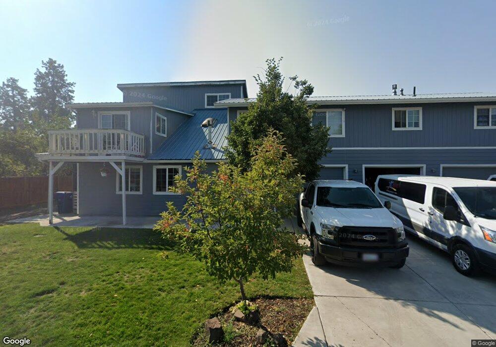
435 NE Burnside Ave Bend, OR 97701
Larkspur NeighborhoodEstimated Value: $802,000 - $1,198,000
7
Beds
5
Baths
4,935
Sq Ft
$194/Sq Ft
Est. Value
About This Home
This home is located at 435 NE Burnside Ave, Bend, OR 97701 and is currently estimated at $958,590, approximately $194 per square foot. 435 NE Burnside Ave is a home located in Deschutes County with nearby schools including Juniper Elementary School, Bend Senior High School, and Deschutes River Montessori School.
Ownership History
Date
Name
Owned For
Owner Type
Purchase Details
Closed on
Dec 10, 2012
Sold by
International Church Of The Foursquare G
Bought by
Teen Challenge International Pacific Nor
Current Estimated Value
Home Financials for this Owner
Home Financials are based on the most recent Mortgage that was taken out on this home.
Original Mortgage
$225,000
Interest Rate
3.35%
Mortgage Type
Unknown
Create a Home Valuation Report for This Property
The Home Valuation Report is an in-depth analysis detailing your home's value as well as a comparison with similar homes in the area
Home Values in the Area
Average Home Value in this Area
Purchase History
| Date | Buyer | Sale Price | Title Company |
|---|---|---|---|
| Teen Challenge International Pacific Nor | $250,000 | First American Title |
Source: Public Records
Mortgage History
| Date | Status | Borrower | Loan Amount |
|---|---|---|---|
| Closed | Teen Challenge International Pacific Nor | $225,000 |
Source: Public Records
Tax History Compared to Growth
Tax History
| Year | Tax Paid | Tax Assessment Tax Assessment Total Assessment is a certain percentage of the fair market value that is determined by local assessors to be the total taxable value of land and additions on the property. | Land | Improvement |
|---|---|---|---|---|
| 2025 | -- | $550,660 | -- | -- |
| 2024 | -- | $534,630 | -- | -- |
| 2023 | -- | $519,060 | -- | -- |
| 2022 | -- | $489,280 | -- | -- |
| 2021 | $0 | $475,030 | $0 | $0 |
| 2020 | $0 | $475,030 | $0 | $0 |
| 2019 | $0 | $461,200 | $0 | $0 |
| 2018 | $0 | $447,770 | $0 | $0 |
| 2017 | $0 | $434,730 | $0 | $0 |
| 2016 | $0 | $422,070 | $0 | $0 |
| 2015 | -- | $409,780 | $0 | $0 |
| 2014 | -- | $397,850 | $0 | $0 |
Source: Public Records
Map
Nearby Homes
- 322 SE 5th St
- 438 NE 9th St
- 106 NW Colorado Ave
- 429 NE Irving Ave
- 114 NW Delaware Ave
- 608 NE 10th St
- 845 NE 8th St
- 530 SE 3rd St
- 501 SE Wilson Ave
- 688 SE Centennial St
- 111 NW Hawthorne Ave Unit 1
- 828 NW Hill St
- 649 NE Kearney Ave
- 314 NW Georgia Ave
- 477 SE Roosevelt Ave
- 274 SW Bluff Dr
- 211 SW Log Ct
- 205 SW Log Ct
- 0 NW Lava Rd Unit Lot 6
- 624 SW Hill St
- 445 NE Burnside Ave
- 407 NE Burnside Ave
- 422 NE Burnside Ave
- 455 NE Burnside Ave
- 428 NE Burnside Ave Unit 1
- 428 NE Burnside Ave
- 446 NE Burnside Ave Unit 1, 2, 3
- 446 NE Burnside Ave
- 204 NE 4th St
- 450 NE Burnside Ave
- 410 NE Alden Ave
- 454 NE Burnside Ave
- 424 NE Alden Ave
- 218 NE 4th St
- 444 NE Alden Ave
- 468 NE Alden Ave
- 478 NE Burnside Ave
- 0 NW Alden Ave
- 1-2 SE 5th St
- 435 NE Clay Ave