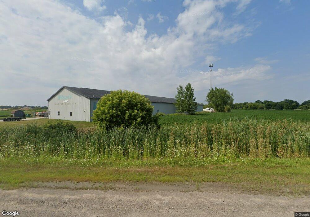
437 N Tuscola Rd Bay City, MI 48708
Estimated Value: $123,000 - $228,000
--
Bed
--
Bath
550
Sq Ft
$338/Sq Ft
Est. Value
About This Home
This home is located at 437 N Tuscola Rd, Bay City, MI 48708 and is currently estimated at $186,147, approximately $338 per square foot. 437 N Tuscola Rd is a home with nearby schools including Hampton Elementary School, Handy Middle School, and Bay City Central High School.
Ownership History
Date
Name
Owned For
Owner Type
Purchase Details
Closed on
Oct 2, 2024
Sold by
Wilson Larry J and Revoca Susan
Bought by
Wilson Larry J and Wilson Susan F
Current Estimated Value
Purchase Details
Closed on
Oct 1, 2014
Sold by
Wilson Larry J
Bought by
Wilson Larry J and Revocabl Susan
Purchase Details
Closed on
Sep 5, 1990
Sold by
Klosowski Marion P and Klosowski Carol A
Bought by
Wilson Larry J and Wilson Susan F
Purchase Details
Closed on
Oct 19, 1983
Bought by
Klosowski Marion P and Klosowski Carol A
Create a Home Valuation Report for This Property
The Home Valuation Report is an in-depth analysis detailing your home's value as well as a comparison with similar homes in the area
Home Values in the Area
Average Home Value in this Area
Purchase History
| Date | Buyer | Sale Price | Title Company |
|---|---|---|---|
| Wilson Larry J | -- | None Listed On Document | |
| Wilson Larry J | -- | None Listed On Document | |
| Wilson Larry J | -- | Attorney | |
| Wilson Larry J | $37,500 | -- | |
| Klosowski Marion P | $15,000 | -- |
Source: Public Records
Tax History Compared to Growth
Tax History
| Year | Tax Paid | Tax Assessment Tax Assessment Total Assessment is a certain percentage of the fair market value that is determined by local assessors to be the total taxable value of land and additions on the property. | Land | Improvement |
|---|---|---|---|---|
| 2025 | $5,085 | $97,900 | $0 | $0 |
| 2024 | $3,689 | $97,500 | $0 | $0 |
| 2023 | $3,512 | $93,300 | $0 | $0 |
| 2022 | $4,603 | $94,800 | $0 | $0 |
| 2021 | $4,343 | $83,900 | $52,000 | $31,900 |
| 2020 | $4,234 | $80,000 | $17,200 | $62,800 |
| 2019 | $4,161 | $79,700 | $0 | $0 |
| 2018 | $4,055 | $79,900 | $16,500 | $63,400 |
| 2017 | $3,965 | $76,000 | $0 | $0 |
| 2016 | $3,982 | $76,700 | $17,200 | $59,500 |
| 2015 | -- | $77,800 | $11,500 | $66,300 |
| 2014 | -- | $74,300 | $11,500 | $62,800 |
Source: Public Records
Map
Nearby Homes
- 518 Pensacola Dr
- 2710 22nd St
- 0 Eastland Dr
- 100 N Tuscola Rd
- 2631 Simon St
- 2401 Kosciuszko Ave
- 2311 22nd St
- 1005 S Mclellan St
- 2028 Kosciuszko Ave
- 2206 11th St
- 405 Harvard St
- 407 Harvard St
- 309 Harold St
- 501 S Mclellan St
- 526 Green Ave
- 2309 Nurmi Dr
- 2001 S Lincoln St
- 611 Nurmi Ct
- 900 S Sheridan St
- 838 S Powell Rd
- 432 N Tulscola Rd Rd
- 481 N Tuscola Rd
- 1961 W Youngs Ditch Rd
- 1957 W Youngs Ditch Rd
- 2798 22nd St
- 1951 W Youngs Ditch Rd
- 1974 W Youngs Ditch Rd
- 509 N Tuscola Rd
- 1945 W Youngs Ditch Rd
- 1964 W Youngs Ditch Rd
- 1922 Morin Dr
- 1941 W Youngs Ditch Rd
- 2721 22nd St
- 510 Pensacola Dr
- 1911 Morin Dr
- 473 Kelly Dr
- 353 N Tuscola Rd
- 2718 22nd St
- 483 Kelly Dr
- 1944 W Youngs Ditch Rd