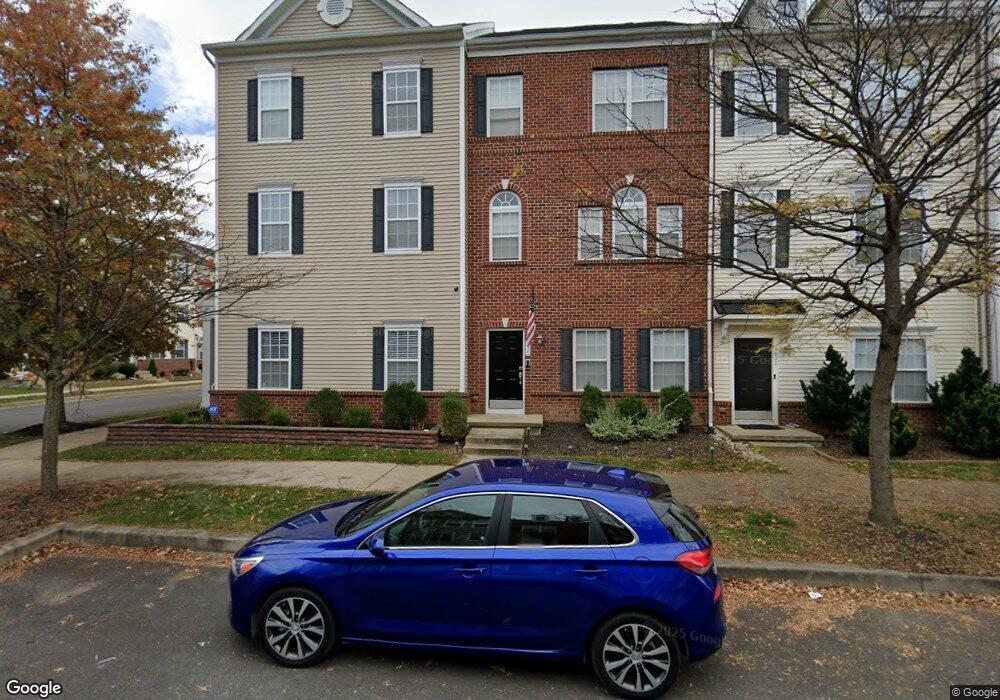
437 Toftrees Dr Middletown, DE 19709
Estimated Value: $413,000 - $450,000
3
Beds
3
Baths
1,760
Sq Ft
$243/Sq Ft
Est. Value
About This Home
This home is located at 437 Toftrees Dr, Middletown, DE 19709 and is currently estimated at $427,500, approximately $242 per square foot. 437 Toftrees Dr is a home located in New Castle County with nearby schools including Bunker Hill Elementary School, Everett Meredith Middle School, and Appoquinimink High School.
Ownership History
Date
Name
Owned For
Owner Type
Purchase Details
Closed on
Jul 10, 2009
Sold by
Anderson Homes Llc
Bought by
Ray Jason M and Gillespie Jessica A
Current Estimated Value
Home Financials for this Owner
Home Financials are based on the most recent Mortgage that was taken out on this home.
Original Mortgage
$260,178
Outstanding Balance
$166,499
Interest Rate
4.93%
Mortgage Type
FHA
Estimated Equity
$261,001
Purchase Details
Closed on
May 8, 2007
Sold by
Woodin Richard C and Chartwell Homes Inc
Bought by
Anderson Homes Llc
Create a Home Valuation Report for This Property
The Home Valuation Report is an in-depth analysis detailing your home's value as well as a comparison with similar homes in the area
Home Values in the Area
Average Home Value in this Area
Purchase History
| Date | Buyer | Sale Price | Title Company |
|---|---|---|---|
| Ray Jason M | $264,979 | None Available | |
| Anderson Homes Llc | $4,507,200 | None Available |
Source: Public Records
Mortgage History
| Date | Status | Borrower | Loan Amount |
|---|---|---|---|
| Open | Ray Jason M | $260,178 |
Source: Public Records
Tax History Compared to Growth
Tax History
| Year | Tax Paid | Tax Assessment Tax Assessment Total Assessment is a certain percentage of the fair market value that is determined by local assessors to be the total taxable value of land and additions on the property. | Land | Improvement |
|---|---|---|---|---|
| 2024 | $224 | $74,500 | $4,400 | $70,100 |
| 2023 | $224 | $74,500 | $4,400 | $70,100 |
| 2022 | $2,291 | $74,500 | $4,400 | $70,100 |
| 2021 | $2,240 | $74,500 | $4,400 | $70,100 |
| 2020 | $0 | $74,500 | $4,400 | $70,100 |
| 2019 | $2,275 | $74,500 | $4,400 | $70,100 |
| 2018 | $1,964 | $74,500 | $4,400 | $70,100 |
| 2017 | $1,890 | $74,500 | $4,400 | $70,100 |
| 2016 | $1,698 | $74,500 | $4,400 | $70,100 |
| 2015 | $1,866 | $74,500 | $4,400 | $70,100 |
| 2014 | $1,862 | $74,500 | $4,400 | $70,100 |
Source: Public Records
Map
Nearby Homes
- 107 Gazebo Ln
- 149 Gazebo Ln
- 722 Marian Dr
- 286 Vincent Cir
- 306 E Harvest Ln
- 102 Springmill Dr
- 84 Franklin Dr
- 111 Anderson St
- 12 E Cochran St
- 561 Whispering Trail
- 56 Springmill Dr
- 533 Janvier Dr
- 8 Redding Cir
- 811 S Cass St
- 701 S Broad St
- 908 S Cass St
- Serenade Plan at Crossings at Silver Lake
- 232 E Main St
- 236 E Main St
- 911 Cadman Dr
- 450 Toftrees Dr
- 435 Toftrees Dr
- 433 Toftrees Dr
- 431 Toftrees Dr
- 429 Toftrees Dr
- 100 Ridgemont Dr
- 102 Ridgemont Dr
- 104 Ridgemont Dr
- 427 Toftrees Dr
- 436 Toftrees Dr
- 301 S Parkway Dr
- 434 Toftrees Dr
- 303 S Parkway Dr
- 432 Toftrees Dr
- 425 Toftrees Dr
- 305 S Parkway Dr
- 430 Toftrees Dr
- 307 S Parkway Dr
- 428 Toftrees Dr
- 423 Toftrees Dr