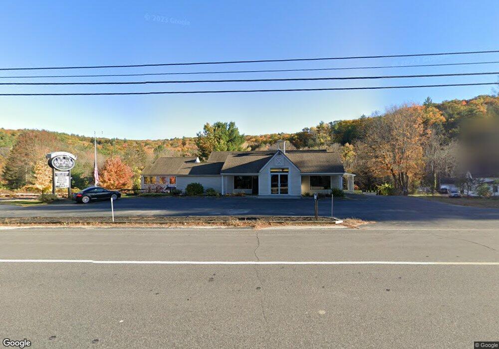
438 Gibbons Hwy Wilton, NH 03086
Estimated Value: $716,440
--
Bed
3
Baths
4,420
Sq Ft
$162/Sq Ft
Est. Value
About This Home
This home is located at 438 Gibbons Hwy, Wilton, NH 03086 and is currently estimated at $716,440, approximately $162 per square foot. 438 Gibbons Hwy is a home located in Hillsborough County with nearby schools including Florence Rideout Elementary School, Wilton-Lyndeborough Cooperative Middle School, and Wilton-Lyndeborough Cooperative High School.
Ownership History
Date
Name
Owned For
Owner Type
Purchase Details
Closed on
Oct 20, 2009
Sold by
Healey Philip B and Kesslen-Healey Lee-Ann
Bought by
Devine James M and Devine Christine V
Current Estimated Value
Home Financials for this Owner
Home Financials are based on the most recent Mortgage that was taken out on this home.
Original Mortgage
$292,500
Outstanding Balance
$191,582
Interest Rate
5.14%
Mortgage Type
Commercial
Estimated Equity
$524,858
Create a Home Valuation Report for This Property
The Home Valuation Report is an in-depth analysis detailing your home's value as well as a comparison with similar homes in the area
Home Values in the Area
Average Home Value in this Area
Purchase History
| Date | Buyer | Sale Price | Title Company |
|---|---|---|---|
| Devine James M | $325,000 | -- |
Source: Public Records
Mortgage History
| Date | Status | Borrower | Loan Amount |
|---|---|---|---|
| Open | Devine James M | $89,900 | |
| Open | Devine James M | $292,500 |
Source: Public Records
Tax History Compared to Growth
Tax History
| Year | Tax Paid | Tax Assessment Tax Assessment Total Assessment is a certain percentage of the fair market value that is determined by local assessors to be the total taxable value of land and additions on the property. | Land | Improvement |
|---|---|---|---|---|
| 2024 | $10,398 | $418,100 | $154,100 | $264,000 |
| 2023 | $9,282 | $418,100 | $154,100 | $264,000 |
| 2022 | $8,638 | $418,100 | $154,100 | $264,000 |
| 2021 | $8,036 | $418,100 | $154,100 | $264,000 |
| 2020 | $10,586 | $360,200 | $105,300 | $254,900 |
| 2019 | $10,460 | $360,200 | $105,300 | $254,900 |
| 2018 | $10,359 | $360,200 | $105,300 | $254,900 |
| 2017 | $9,700 | $357,000 | $105,300 | $251,700 |
| 2016 | $9,403 | $357,000 | $105,300 | $251,700 |
| 2015 | $9,348 | $354,900 | $105,300 | $249,600 |
| 2014 | $9,156 | $354,900 | $105,300 | $249,600 |
| 2013 | $9,146 | $351,500 | $105,300 | $246,200 |
Source: Public Records
Map
Nearby Homes
- 18 Richfield Way
- 81 Abbot Hill Acres
- F/88-5 McGettigan Rd
- F/88-4 McGettigan Rd
- 88 McGettigan Rd Unit 88-6-1
- Lots 4 & 7 Gibbons & Robbins Rd
- F-88-10 Aria Hill Dr
- Lot F-88-9 Aria Hill Dr
- F-88-11 Aria Hill Dr
- F-88-12 Aria Hill Dr
- 27 Island St
- F-88-7 Aria Hill Dr
- 10 Mill St
- 8 Maple St
- 134 Falcon Ridge Rd Unit 23
- 59 Goldsmith Rd
- 60 Goldsmith Rd
- 0 Marden Rd
- 30 Holden Ln
- 119 Boynton Hill Rd
- 137 Intervale Rd
- 149 Intervale Rd
- 133 Intervale Rd
- 142 Intervale Rd
- 1 Riverbend Way
- 125 Intervale Rd
- 148 Intervale Rd
- 128 Intervale Rd
- 8 Sugar Makers Way
- 4 Sugar Makers Way
- 160 Intervale Rd
- 3 Sugar Makers Way
- 7 Riverbend Way
- 109 Intervale Rd
- 116 Intervale Rd
- 107 Intervale Rd
- 110 Intervale Rd
- 22 Riverbend Way
- 103 Intervale Rd
- 99 Intervale Rd