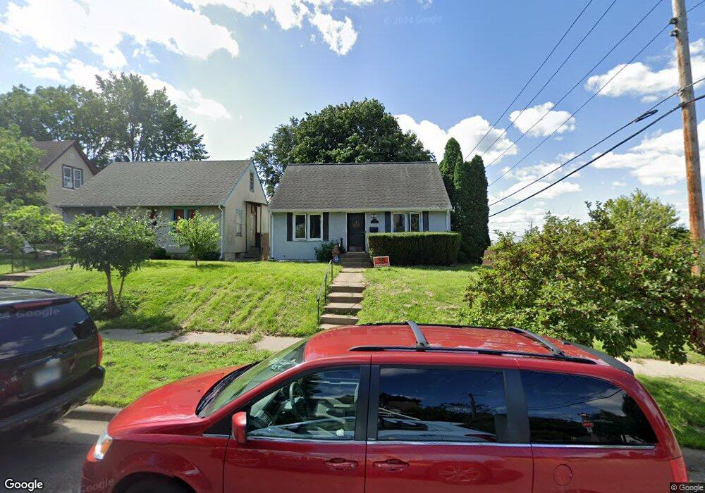
438 Hatch Ave Saint Paul, MN 55117
North End NeighborhoodEstimated Value: $252,000 - $298,000
3
Beds
2
Baths
936
Sq Ft
$288/Sq Ft
Est. Value
About This Home
This home is located at 438 Hatch Ave, Saint Paul, MN 55117 and is currently estimated at $269,232, approximately $287 per square foot. 438 Hatch Ave is a home located in Ramsey County with nearby schools including Como Park Elementary School, Murray Middle School, and Como Park Senior High School.
Ownership History
Date
Name
Owned For
Owner Type
Purchase Details
Closed on
Dec 7, 2018
Sold by
Allen Keith B and Allen Dawn
Bought by
Villegas Eckert Antonio
Current Estimated Value
Home Financials for this Owner
Home Financials are based on the most recent Mortgage that was taken out on this home.
Original Mortgage
$6,300
Outstanding Balance
$2,386
Interest Rate
4.8%
Mortgage Type
Stand Alone Second
Estimated Equity
$266,846
Purchase Details
Closed on
Jul 19, 2018
Bought by
Allen Keith and Allen Dawn
Home Financials for this Owner
Home Financials are based on the most recent Mortgage that was taken out on this home.
Original Mortgage
$459,000
Interest Rate
4.52%
Purchase Details
Closed on
Aug 8, 2003
Sold by
Robert Fleming Associates Inc
Bought by
Allen Keith B
Purchase Details
Closed on
May 15, 1997
Sold by
Union Bank & Trust Co
Bought by
Yates Beatryce J and Dunlap Bryce
Create a Home Valuation Report for This Property
The Home Valuation Report is an in-depth analysis detailing your home's value as well as a comparison with similar homes in the area
Home Values in the Area
Average Home Value in this Area
Purchase History
| Date | Buyer | Sale Price | Title Company |
|---|---|---|---|
| Villegas Eckert Antonio | $180,000 | Results Title | |
| Allen Keith | $135,000 | -- | |
| Allen Keith B | $157,000 | -- | |
| Yates Beatryce J | $13,800 | -- |
Source: Public Records
Mortgage History
| Date | Status | Borrower | Loan Amount |
|---|---|---|---|
| Open | Villegas Eckert Antonio | $6,300 | |
| Previous Owner | Allen Keith | $459,000 | |
| Previous Owner | Allen Keith | -- |
Source: Public Records
Tax History Compared to Growth
Tax History
| Year | Tax Paid | Tax Assessment Tax Assessment Total Assessment is a certain percentage of the fair market value that is determined by local assessors to be the total taxable value of land and additions on the property. | Land | Improvement |
|---|---|---|---|---|
| 2025 | $4,484 | $248,800 | $25,000 | $223,800 |
| 2023 | $4,484 | $213,000 | $20,000 | $193,000 |
| 2022 | $3,864 | $219,400 | $20,000 | $199,400 |
| 2021 | $2,934 | $186,800 | $20,000 | $166,800 |
| 2020 | $2,576 | $173,000 | $10,200 | $162,800 |
| 2019 | $2,142 | $158,000 | $10,200 | $147,800 |
| 2018 | $1,862 | $133,700 | $10,200 | $123,500 |
| 2017 | $1,828 | $124,300 | $10,200 | $114,100 |
| 2016 | $1,596 | $0 | $0 | $0 |
| 2015 | $1,292 | $103,000 | $10,200 | $92,800 |
| 2014 | $1,272 | $0 | $0 | $0 |
Source: Public Records
Map
Nearby Homes
- 956 Western Ave N
- 1040 Cumberland St
- 359 Stinson St W
- 1083 Western Ave N
- 1104 MacKubin St
- 569 Hatch Ave
- 916 Farrington St
- 1067 Farrington St
- 552 Burgess St
- 1049 Kent St
- 310 Burgess St
- 283 Front Ave
- 306 Burgess St
- 1110 Virginia St
- 1071 Matilda St
- 352 Como Ave
- 954 Galtier St
- 1165 Norton St
- 1175 Arundel St
- 1176 Norton St