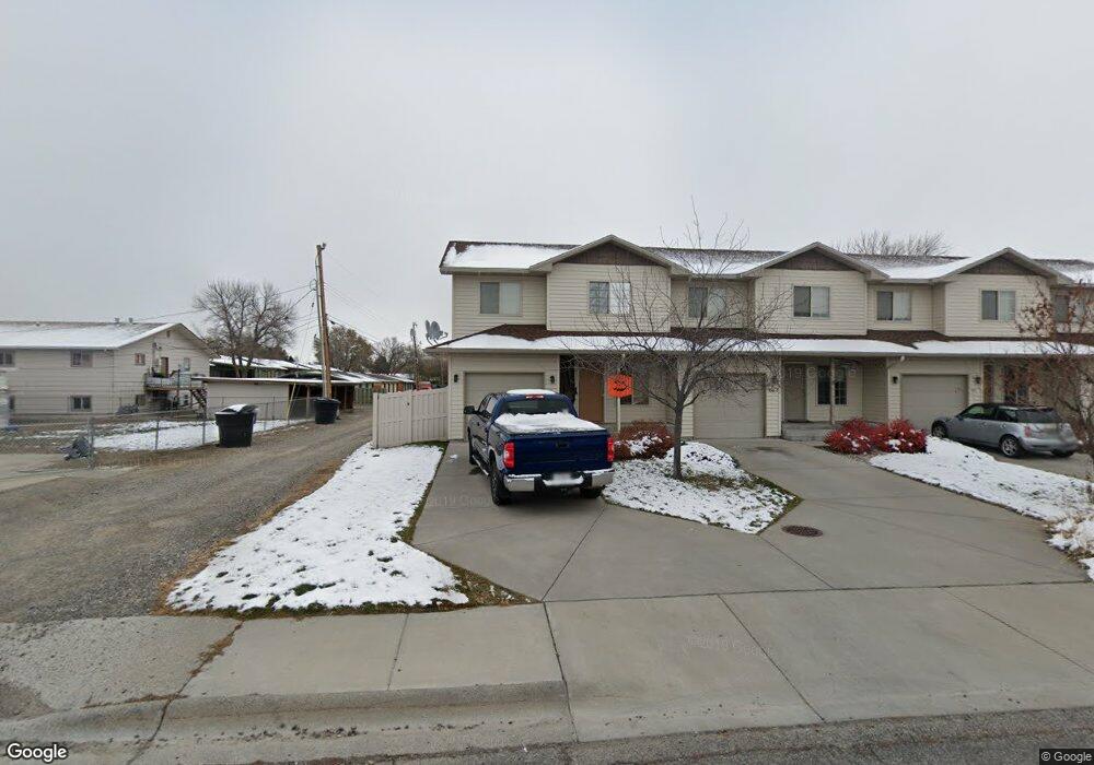
441 S 23rd St W Billings, MT 59102
West End NeighborhoodEstimated Value: $243,000 - $1,167,671
3
Beds
3
Baths
1,372
Sq Ft
$361/Sq Ft
Est. Value
About This Home
This home is located at 441 S 23rd St W, Billings, MT 59102 and is currently estimated at $495,418, approximately $361 per square foot. 441 S 23rd St W is a home located in Yellowstone County with nearby schools including Miles Avenue School, Will James Junior High School, and Billings West High School.
Ownership History
Date
Name
Owned For
Owner Type
Purchase Details
Closed on
Jan 28, 2022
Sold by
Roach Bryan W and Roach Beth Sharon
Bought by
Two 2 One Llc
Current Estimated Value
Purchase Details
Closed on
Aug 18, 2020
Sold by
Webb Roger W and Webb Peggy S
Bought by
Roach Bryan W and Roach Sharon Beth
Home Financials for this Owner
Home Financials are based on the most recent Mortgage that was taken out on this home.
Original Mortgage
$146,719
Interest Rate
3%
Mortgage Type
New Conventional
Create a Home Valuation Report for This Property
The Home Valuation Report is an in-depth analysis detailing your home's value as well as a comparison with similar homes in the area
Home Values in the Area
Average Home Value in this Area
Purchase History
| Date | Buyer | Sale Price | Title Company |
|---|---|---|---|
| Two 2 One Llc | -- | None Listed On Document | |
| Roach Bryan W | -- | First Montana Title Co |
Source: Public Records
Mortgage History
| Date | Status | Borrower | Loan Amount |
|---|---|---|---|
| Previous Owner | Roach Bryan W | $146,719 |
Source: Public Records
Tax History Compared to Growth
Tax History
| Year | Tax Paid | Tax Assessment Tax Assessment Total Assessment is a certain percentage of the fair market value that is determined by local assessors to be the total taxable value of land and additions on the property. | Land | Improvement |
|---|---|---|---|---|
| 2025 | $2,301 | $283,900 | $28,542 | $255,358 |
| 2024 | $2,301 | $247,600 | $18,067 | $229,533 |
| 2023 | $2,300 | $247,600 | $18,067 | $229,533 |
| 2022 | $1,802 | $190,900 | $0 | $0 |
| 2021 | $1,934 | $190,700 | $0 | $0 |
| 2020 | $1,861 | $175,300 | $0 | $0 |
| 2019 | $1,774 | $175,300 | $0 | $0 |
| 2018 | $1,727 | $167,400 | $0 | $0 |
| 2017 | $1,550 | $167,400 | $0 | $0 |
| 2016 | $1,570 | $158,200 | $0 | $0 |
| 2015 | $1,535 | $158,200 | $0 | $0 |
| 2014 | $1,608 | $88,655 | $0 | $0 |
Source: Public Records
Map
Nearby Homes
- 603 S 22nd St W
- 2 Mcbride St
- 2225 Rosebud Dr
- 2016 Monad Rd
- 12 Golden Butte Dr
- 14 Bonanza Dr
- 2150 Eldorado Dr
- 126 Ardmore Dr
- 2207 Central Ave
- 2916 Monad Rd
- 260 Brookshire Blvd
- 2968 Daystar Dr
- 2305 Miles Ave
- 2422 Miles Ave
- 3087 Hunters Ridge Loop
- 2930 Lynn Ave
- 2131 Hewitt Dr
- 2119 Hewitt Dr
- 3030 Hunters Ridge Loop
- 3121 New Hope Dr
- 443 S 23rd St W
- 445 S 23rd St W
- 447 S 23rd St W
- 2246 Monad Rd
- 2260 Monad Rd
- 2244 Monad Rd
- 2240 Monad Rd
- 2264 George St
- 2270 George St
- 2307 Monad Rd
- 2258 George St
- 2236 Monad Rd
- 2235/2237 George St 1-8
- 2303 Monad Rd
- 2252 George St
- 2231 Monad Rd
- 2246 George St
- 2242 George St
- 2240 George St
- 2230 Monad Rd