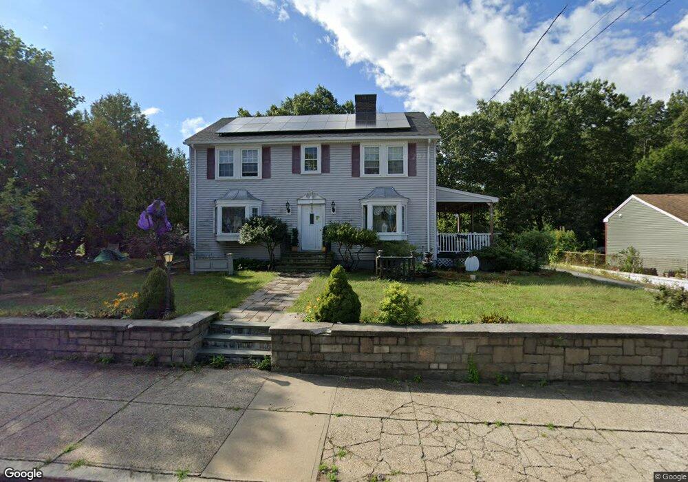
443 Privilege St Woonsocket, RI 02895
Social District NeighborhoodEstimated Value: $377,000 - $746,000
4
Beds
4
Baths
3,128
Sq Ft
$160/Sq Ft
Est. Value
About This Home
This home is located at 443 Privilege St, Woonsocket, RI 02895 and is currently estimated at $500,522, approximately $160 per square foot. 443 Privilege St is a home located in Providence County with nearby schools including Woonsocket High School, Rise Prep Mayoral Academy Middle School, and Rise Prep Mayoral Academy.
Ownership History
Date
Name
Owned For
Owner Type
Purchase Details
Closed on
Aug 27, 1999
Sold by
Brizard Armand N and Brizard Cecile S
Bought by
Stakelin Robert B and Vanasse Roland G
Current Estimated Value
Purchase Details
Closed on
Sep 27, 1996
Sold by
Chabot Michael J and Chabot Linda
Bought by
Brizard Armand N and Brizard Cecile
Create a Home Valuation Report for This Property
The Home Valuation Report is an in-depth analysis detailing your home's value as well as a comparison with similar homes in the area
Home Values in the Area
Average Home Value in this Area
Purchase History
| Date | Buyer | Sale Price | Title Company |
|---|---|---|---|
| Stakelin Robert B | $102,500 | -- | |
| Brizard Armand N | $99,000 | -- | |
| Stakelin Robert B | $102,500 | -- | |
| Brizard Armand N | $99,000 | -- |
Source: Public Records
Mortgage History
| Date | Status | Borrower | Loan Amount |
|---|---|---|---|
| Open | Brizard Armand N | $71,350 | |
| Closed | Brizard Armand N | $75,000 | |
| Closed | Brizard Armand N | $74,000 |
Source: Public Records
Tax History
| Year | Tax Paid | Tax Assessment Tax Assessment Total Assessment is a certain percentage of the fair market value that is determined by local assessors to be the total taxable value of land and additions on the property. | Land | Improvement |
|---|---|---|---|---|
| 2025 | $3,897 | $347,000 | $90,700 | $256,300 |
| 2024 | $3,869 | $266,100 | $92,400 | $173,700 |
| 2023 | $3,720 | $266,100 | $92,400 | $173,700 |
| 2022 | $3,720 | $266,100 | $92,400 | $173,700 |
| 2021 | $3,962 | $166,800 | $37,700 | $129,100 |
| 2020 | $4,003 | $166,800 | $37,700 | $129,100 |
| 2018 | $4,017 | $166,800 | $37,700 | $129,100 |
| 2017 | $4,801 | $159,500 | $41,200 | $118,300 |
| 2016 | $5,078 | $159,500 | $41,200 | $118,300 |
| 2015 | $5,835 | $159,500 | $41,200 | $118,300 |
| 2014 | $5,463 | $152,000 | $45,400 | $106,600 |
Source: Public Records
Map
Nearby Homes
- 256 Privilege St
- 752 Social St
- 96 Mill St Unit 303
- 42 Elbow St
- 13 Ethel St
- 60 Rathbun St
- 685 Social St Unit 308
- 685 Social St Unit 211
- 685 Social St Unit 115
- 142 Brook St
- 40 Valley St
- 130 E School St
- 263 Elm St
- Lot 2 Pulaski Blvd
- 271 Elm St
- 311 Elm St
- 83 Summer St
- 589 Gaskill St
- 56 Mailloux St
- 18 Villa Nova St
- 427 Privilege St
- 350 Rathbun St
- 409 Privilege St
- 388 Rathbun St
- 330 Rathbun St
- 397 Privilege St
- 320 Rathbun St
- 414 St Unit 1
- 414 Rathbun St Unit 3
- 414 Rathbun St Unit 4
- 414 Rathbun St Unit 2
- 414 Rathbun St Unit 1
- 414 Rathbun St Unit 6
- 414 Rathbun St Unit 5
- 414 Rathbun St Unit 7
- 414 Rathbun St Unit 12
- 414 Rathbun St
- 312 Rathbun St
- 381 Privilege St Unit 102
- 381 Privilege St Unit 1R
Your Personal Tour Guide
Ask me questions while you tour the home.