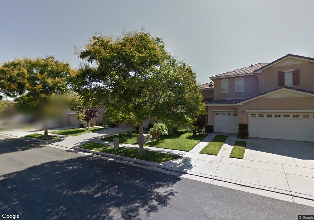
4455 Driving Range Rd Unit 25 Corona, CA 92883
Eagle Glen NeighborhoodEstimated Value: $858,000 - $938,000
5
Beds
3
Baths
2,920
Sq Ft
$312/Sq Ft
Est. Value
About This Home
This home is located at 4455 Driving Range Rd Unit 25, Corona, CA 92883 and is currently estimated at $910,701, approximately $311 per square foot. 4455 Driving Range Rd Unit 25 is a home located in Riverside County with nearby schools including Woodrow Wilson Elementary School, El Cerrito Middle School, and Santiago High School.
Ownership History
Date
Name
Owned For
Owner Type
Purchase Details
Closed on
Aug 31, 2021
Sold by
Valle Carlos P and Valle Avelina
Bought by
Bernardo Angela Valle and Bernardo Duane Damayo
Current Estimated Value
Home Financials for this Owner
Home Financials are based on the most recent Mortgage that was taken out on this home.
Original Mortgage
$548,250
Outstanding Balance
$498,867
Interest Rate
2.8%
Mortgage Type
New Conventional
Estimated Equity
$411,834
Purchase Details
Closed on
Aug 21, 2000
Sold by
D R Horton Los Angeles Holding Co Inc
Bought by
Valle Carlos P and Valle Avelina
Home Financials for this Owner
Home Financials are based on the most recent Mortgage that was taken out on this home.
Original Mortgage
$292,690
Interest Rate
8.13%
Mortgage Type
Stand Alone First
Create a Home Valuation Report for This Property
The Home Valuation Report is an in-depth analysis detailing your home's value as well as a comparison with similar homes in the area
Home Values in the Area
Average Home Value in this Area
Purchase History
| Date | Buyer | Sale Price | Title Company |
|---|---|---|---|
| Bernardo Angela Valle | $700,000 | First American Title Company | |
| Valle Carlos P | $293,000 | Fidelity National Title Co |
Source: Public Records
Mortgage History
| Date | Status | Borrower | Loan Amount |
|---|---|---|---|
| Open | Bernardo Angela Valle | $548,250 | |
| Previous Owner | Valle Carlos P | $292,690 |
Source: Public Records
Tax History
| Year | Tax Paid | Tax Assessment Tax Assessment Total Assessment is a certain percentage of the fair market value that is determined by local assessors to be the total taxable value of land and additions on the property. | Land | Improvement |
|---|---|---|---|---|
| 2025 | $8,102 | $742,844 | $122,038 | $620,806 |
| 2023 | $8,102 | $714,000 | $117,300 | $596,700 |
| 2022 | $8,016 | $700,000 | $115,000 | $585,000 |
| 2021 | $5,398 | $407,437 | $104,393 | $303,044 |
| 2020 | $5,383 | $403,260 | $103,323 | $299,937 |
| 2019 | $5,296 | $395,354 | $101,298 | $294,056 |
| 2018 | $5,216 | $387,603 | $99,313 | $288,290 |
| 2017 | $5,077 | $380,004 | $97,366 | $282,638 |
| 2016 | $5,037 | $372,554 | $95,457 | $277,097 |
| 2015 | $4,951 | $366,960 | $94,024 | $272,936 |
| 2014 | $4,874 | $359,774 | $92,183 | $267,591 |
Source: Public Records
Map
Nearby Homes
- 4375 Leonard Way
- 1758 Par Four Dr
- 4250 Havenridge Dr
- 4219 Floyd Dr
- 2336 Bearrs
- 1916 Olympia Fields Dr
- 1855 Stanwich Place
- 4166 Horvath St Unit 106
- 4167 Horvath St Unit 108
- 4128 Pompia Way
- 4101 Adishian Way
- 1806 Riverstone St
- 7543 Summer Day Dr
- 0 Sallie Jeffreys Unit IG25278709
- 1607 Spyglass Dr
- 4059 Pomelo Dr
- 1767 Riverstone Cir
- 4067 Summer Way
- 4010 Summer Way
- 4037 Summer Way
- 4469 Driving Range Rd
- 4441 Driving Range Rd
- 4483 Driving Range Rd
- 4427 Driving Range Rd
- 4497 Driving Range Rd Unit 22
- 4413 Driving Range Rd
- 4442 Driving Range Rd
- 4428 Driving Range Rd
- 4456 Driving Range Rd Unit 178
- 4399 Driving Range Rd
- 4470 Driving Range Rd Unit 177
- 4414 Driving Range Rd
- 4484 Driving Range Rd
- 1898 Littler Ln
- 4385 Driving Range Rd
- 4385 Driving Range Rd Unit 30
- 4385 Driving Range Rd Unit 30
- 4525 Driving Range Rd
- 4400 Driving Range Rd
- 4553 Driving Range Rd Unit 18
Your Personal Tour Guide
Ask me questions while you tour the home.