Estimated Value: $6,206,000 - $9,932,981
2
Beds
3
Baths
1,998
Sq Ft
$3,681/Sq Ft
Est. Value
About This Home
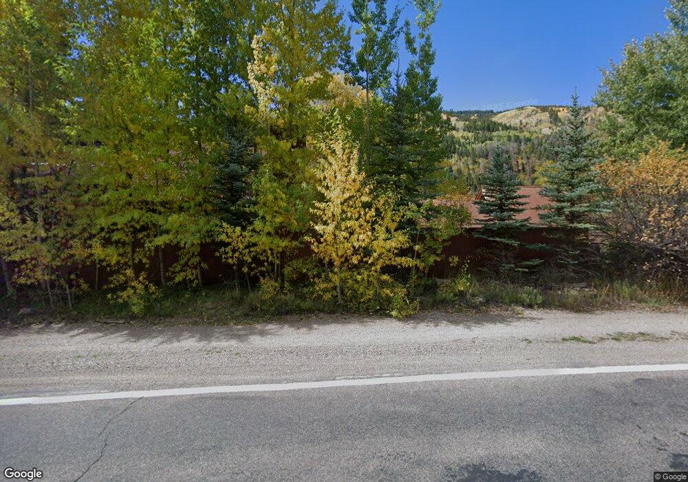
This home is located at 44600 Hwy 82 Unit 44600 Highway 82, Aspen, CO 81611 and is currently estimated at $7,355,245, approximately $3,681 per square foot. 44600 Hwy 82 Unit 44600 Highway 82 is a home located in Pitkin County with nearby schools including Aspen Elementary School, Aspen Middle School, and Aspen High School.
Ownership History
Date
Name
Owned For
Owner Type
Purchase Details
Closed on
Dec 11, 2019
Sold by
Disabatino Megan
Bought by
Disabatino Megan and Disabatino Andrew
Current Estimated Value
Purchase Details
Closed on
Feb 8, 2013
Sold by
Disabatino Andrew and Disabtino Gerardine C
Bought by
Disabatino Megabn
Purchase Details
Closed on
May 25, 2010
Sold by
Felzenberg Karlis and Disabatino Megan
Bought by
Disabatino Megan and Disabatino Andrew
Purchase Details
Closed on
Aug 2, 2005
Sold by
Lewis Richard D
Bought by
Claro Llc
Create a Home Valuation Report for This Property
The Home Valuation Report is an in-depth analysis detailing your home's value as well as a comparison with similar homes in the area
Home Values in the Area
Average Home Value in this Area
Purchase History
| Date | Buyer | Sale Price | Title Company |
|---|---|---|---|
| Disabatino Megan | -- | Pitkin County Title | |
| Disabatino Megabn | -- | None Available | |
| Disabatino Megan | -- | None Available | |
| Claro Llc | $1,025,000 | -- |
Source: Public Records
Tax History Compared to Growth
Tax History
| Year | Tax Paid | Tax Assessment Tax Assessment Total Assessment is a certain percentage of the fair market value that is determined by local assessors to be the total taxable value of land and additions on the property. | Land | Improvement |
|---|---|---|---|---|
| 2024 | $8,414 | $290,310 | $179,960 | $110,350 |
| 2023 | $8,414 | $295,830 | $183,380 | $112,450 |
| 2022 | $8,114 | $254,100 | $159,500 | $94,600 |
| 2021 | $8,093 | $261,410 | $164,090 | $97,320 |
| 2020 | $6,886 | $221,800 | $139,780 | $82,020 |
| 2019 | $6,886 | $221,800 | $139,780 | $82,020 |
| 2018 | $6,541 | $223,350 | $140,760 | $82,590 |
| 2017 | $5,684 | $210,580 | $137,700 | $72,880 |
| 2016 | $4,988 | $181,230 | $116,420 | $64,810 |
| 2015 | $4,958 | $181,230 | $116,420 | $64,810 |
| 2014 | $4,665 | $166,580 | $116,420 | $50,160 |
Source: Public Records
Map
Nearby Homes
- 44481 Highway 82
- 9 & 17 Ullr Way
- 42703 Hwy 82 Unit B
- 161 Stillwater Ln
- 184 Mountain Laurel Dr
- 257 Mountain Laurel Dr
- 602 Mountain Laurel Dr
- 663 Mountain Laurel Dr
- 552 Mountain Laurel Dr
- 1271 S Ute Ave
- 137 Westview Dr
- 2601 Midnight Mine Rd
- 10 Ute Place
- 108 Midland Ave
- 1011 Ute Ave
- 100 Park Ave
- 1050 Waters Ave Unit 9
- 901 S Ute Ave
- 610 S West End St Unit A304
- 610 S West End St Unit D 206
- 44600 Highway 82
- 44681 Highway 82
- 230 McFarlane Gulch Rd
- 44530 Highway 82
- 263 Wildwood Ln
- 290 Mcfarland Ln
- 300 Mcfarland Ln
- 44871 Highway 82
- 44891 Highway 82
- 44895 Highway 82
- 230 Mcfarland Ln
- 44971 Highway 82
- 44971 Highway 82
- 60 Wildwood Ln
- 44989 Highway 82
- 44190 Highway 82
- 44255 E Highway 82
- 44987 Highway 82
- 44255 Highway 82
- 44255 Highway 82