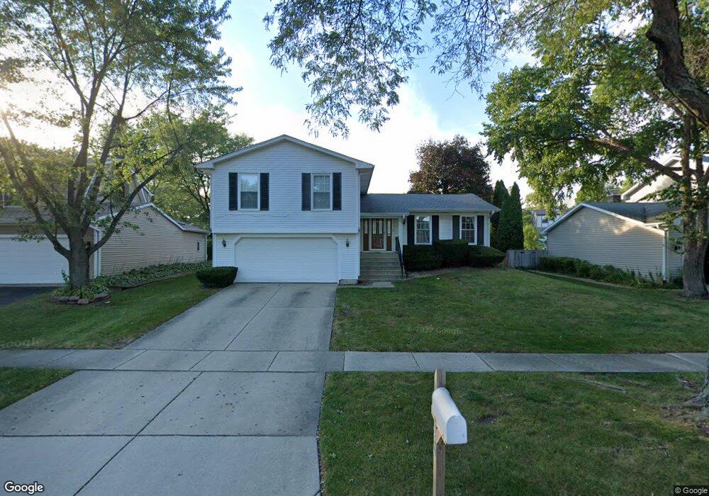
4470 Sundance Cir Hoffman Estates, IL 60192
South Ridge NeighborhoodEstimated Value: $506,000 - $523,000
4
Beds
3
Baths
2,003
Sq Ft
$256/Sq Ft
Est. Value
About This Home
This home is located at 4470 Sundance Cir, Hoffman Estates, IL 60192 and is currently estimated at $513,208, approximately $256 per square foot. 4470 Sundance Cir is a home located in Cook County with nearby schools including Thomas Jefferson Elementary School, Frank C. Whiteley Elementary School, and Plum Grove Jr High School.
Ownership History
Date
Name
Owned For
Owner Type
Purchase Details
Closed on
Mar 13, 2007
Sold by
Global Real Estate Usa Inc
Bought by
Okamoto Mitsunari
Current Estimated Value
Home Financials for this Owner
Home Financials are based on the most recent Mortgage that was taken out on this home.
Original Mortgage
$186,750
Outstanding Balance
$112,603
Interest Rate
6.19%
Mortgage Type
Seller Take Back
Estimated Equity
$400,605
Purchase Details
Closed on
Mar 14, 2006
Sold by
Leverenz Margaret M
Bought by
Global Real Estate Usa Inc
Purchase Details
Closed on
Jul 12, 2000
Sold by
Leverenz Kenneth R and Leverenz Margaret M
Bought by
Leverenz Margaret M
Create a Home Valuation Report for This Property
The Home Valuation Report is an in-depth analysis detailing your home's value as well as a comparison with similar homes in the area
Home Values in the Area
Average Home Value in this Area
Purchase History
| Date | Buyer | Sale Price | Title Company |
|---|---|---|---|
| Okamoto Mitsunari | $415,000 | Lawyers | |
| Global Real Estate Usa Inc | $385,000 | Pntn | |
| Leverenz Margaret M | -- | -- |
Source: Public Records
Mortgage History
| Date | Status | Borrower | Loan Amount |
|---|---|---|---|
| Open | Okamoto Mitsunari | $186,750 |
Source: Public Records
Tax History Compared to Growth
Tax History
| Year | Tax Paid | Tax Assessment Tax Assessment Total Assessment is a certain percentage of the fair market value that is determined by local assessors to be the total taxable value of land and additions on the property. | Land | Improvement |
|---|---|---|---|---|
| 2024 | $11,650 | $38,000 | $6,854 | $31,146 |
| 2023 | $11,260 | $38,000 | $6,854 | $31,146 |
| 2022 | $11,260 | $38,000 | $6,854 | $31,146 |
| 2021 | $10,692 | $31,929 | $4,760 | $27,169 |
| 2020 | $10,457 | $31,929 | $4,760 | $27,169 |
| 2019 | $10,346 | $35,399 | $4,760 | $30,639 |
| 2018 | $11,285 | $35,618 | $4,379 | $31,239 |
| 2017 | $11,074 | $35,618 | $4,379 | $31,239 |
| 2016 | $10,278 | $35,618 | $4,379 | $31,239 |
| 2015 | $9,518 | $30,624 | $3,998 | $26,626 |
| 2014 | $9,338 | $30,624 | $3,998 | $26,626 |
| 2013 | $9,102 | $30,624 | $3,998 | $26,626 |
Source: Public Records
Map
Nearby Homes
- 1404 W Sapphire Dr
- 1195 Old Timber Ct
- 1208 Old Timber Ln
- 4320 Lombardy Ln
- 4827 Turnberry Dr
- 4760 Amber Cir
- 4890 Prestwick Place
- 4944 Somerton Dr
- 4950 Rochester Dr
- 330 Poteet Ave
- 13 Chipping Campden Dr
- 5015 Rochester Dr
- 3925 Charlemagne Dr
- 5190 Chambers Dr
- 26 Forest Ln
- 39 Forest Ln
- 16 Forest Ln
- 70 Ela Rd
- 795 Plymouth Rd
- 815 Concord Cove
- 4476 Sundance Cir
- 4464 Sundance Cir
- 1312 Rolling Prairie Ct
- 4482 Sundance Cir
- 4469 Sundance Cir
- 4463 Sundance Cir
- 4539 Opal Dr
- 4539 Opal Dr
- 4537 Opal Dr
- 4541 Opal Dr
- 4475 Sundance Cir
- 4543 Opal Dr
- 1324 Rolling Prairie Ct
- 4535 Opal Dr
- 4545 Opal Dr
- 4488 Sundance Cir
- 4533 Opal Dr
- 1338 Rolling Prairie Ct
- 4549 Opal Dr