449 Marlow Hill Rd Marlow, NH 03456
Estimated Value: $301,000 - $506,000
3
Beds
3
Baths
1,560
Sq Ft
$276/Sq Ft
Est. Value
About This Home
This home is located at 449 Marlow Hill Rd, Marlow, NH 03456 and is currently estimated at $430,140, approximately $275 per square foot. 449 Marlow Hill Rd is a home with nearby schools including Candor Elementary School, Mayland Early College High School, and Keene High School.
Ownership History
Date
Name
Owned For
Owner Type
Purchase Details
Closed on
Mar 3, 2021
Sold by
Monte Michael P and Monte Deborah S
Bought by
Michael P & D S Monte Ft
Current Estimated Value
Purchase Details
Closed on
Aug 31, 2001
Sold by
Landroche Lorraine
Bought by
Monte Michael P and Monte Deborah S
Home Financials for this Owner
Home Financials are based on the most recent Mortgage that was taken out on this home.
Original Mortgage
$138,800
Interest Rate
7.06%
Create a Home Valuation Report for This Property
The Home Valuation Report is an in-depth analysis detailing your home's value as well as a comparison with similar homes in the area
Home Values in the Area
Average Home Value in this Area
Purchase History
| Date | Buyer | Sale Price | Title Company |
|---|---|---|---|
| Michael P & D S Monte Ft | -- | None Available | |
| Monte Michael P | $185,000 | -- |
Source: Public Records
Mortgage History
| Date | Status | Borrower | Loan Amount |
|---|---|---|---|
| Previous Owner | Monte Michael P | $138,800 |
Source: Public Records
Tax History Compared to Growth
Tax History
| Year | Tax Paid | Tax Assessment Tax Assessment Total Assessment is a certain percentage of the fair market value that is determined by local assessors to be the total taxable value of land and additions on the property. | Land | Improvement |
|---|---|---|---|---|
| 2024 | $6,694 | $215,944 | $54,474 | $161,470 |
| 2023 | $6,224 | $215,972 | $54,502 | $161,470 |
| 2022 | $5,603 | $216,916 | $55,346 | $161,570 |
| 2021 | $5,359 | $216,880 | $55,310 | $161,570 |
| 2020 | $6,443 | $216,870 | $55,300 | $161,570 |
| 2019 | $6,344 | $198,752 | $40,272 | $158,480 |
| 2018 | $4,982 | $195,922 | $40,162 | $155,760 |
| 2016 | $4,292 | $195,340 | $39,580 | $155,760 |
| 2015 | $4,999 | $195,340 | $39,580 | $155,760 |
| 2014 | $5,010 | $200,960 | $44,240 | $156,720 |
| 2009 | $4,530 | $211,200 | $58,320 | $152,880 |
Source: Public Records
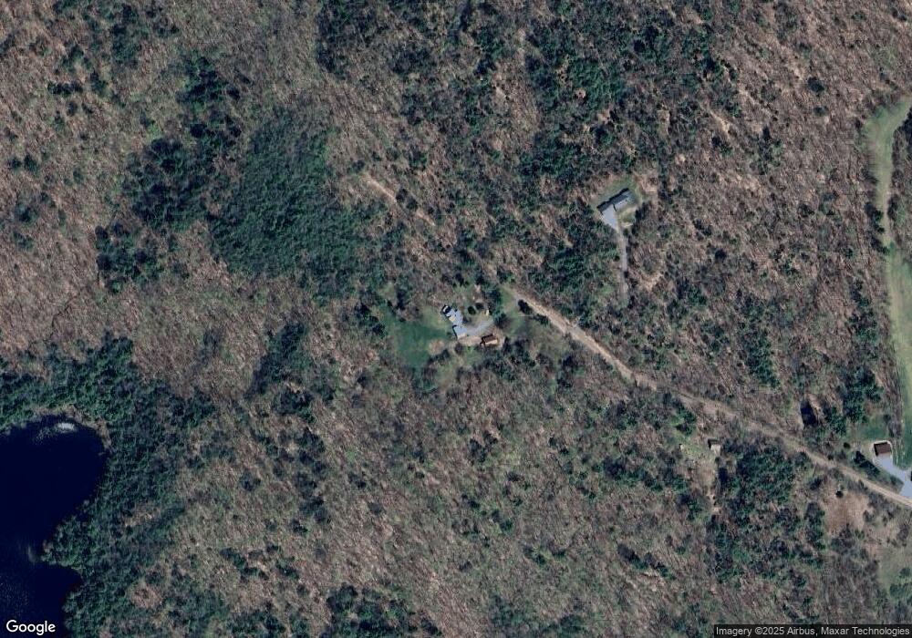
Map
Nearby Homes
- 178 North Rd
- 0 Washington Pond Rd Unit 113
- 172 Nh-Rte 123 Route
- 6 Mill St
- 27 Shadowland Rd
- 32 Blueberry Hill Ln
- 1076 Nh Route 123a
- 67 Lang Rd
- 264 Olds Rd
- 0 Olds Rd
- 335 Coolidge Dr
- 00 Alstead Center Rd
- 0 Adams Dr
- 286 Presidential Dr
- 94 Cold Pond Rd
- 473 Pratt Rd
- 0 Allen Rd
- 16 Vilas Rd
- 563 Holden Hill Rd
- 55 Sunset Cir
- 0 Marlow Hill Rd
- 0 Marlow Hill Rd Unit 4964523
- 0 Marlow Hill Rd Unit 4074881
- 0 Marlow Hill Rd Unit Lot 2 4791376
- 0 Marlow Hill Rd Unit Lot 1 4791008
- 442 Marlow Hill Rd
- 425 Marlow Hill Rd
- 394 Marlow Hill Rd
- 8 Fuerderer Dr
- 359 Gustin Pond Rd
- 365 Marlow Hill Rd
- 33 Black Bear Crossing
- 184 Gustin Pond Rd
- 420 Gustin Pond Rd
- 399 Gustin Pond Rd
- 0 Gustin Pond Rd
- 149 Flagg Rd
- 347 Marlow Hill Rd
- 0 Old Marlow Hill Rd
- 120 Jay Allen Rd