45 Grey Wolf Dr Franklin, MA 02038
Estimated Value: $583,000 - $622,496
2
Beds
3
Baths
1,846
Sq Ft
$326/Sq Ft
Est. Value
About This Home
This home is located at 45 Grey Wolf Dr, Franklin, MA 02038 and is currently estimated at $601,624, approximately $325 per square foot. 45 Grey Wolf Dr is a home located in Norfolk County with nearby schools including Oak Street Elementary School, Horace Mann Middle School, and Franklin High School.
Ownership History
Date
Name
Owned For
Owner Type
Purchase Details
Closed on
Sep 6, 2016
Sold by
Pulera Joseph S and Pulera Kathryn A
Bought by
Pulera Ft
Current Estimated Value
Purchase Details
Closed on
Aug 28, 2009
Sold by
Meadowbrook Heights Ll
Bought by
Pulera Joseph S and Pulera Kathryn
Home Financials for this Owner
Home Financials are based on the most recent Mortgage that was taken out on this home.
Original Mortgage
$100,000
Interest Rate
5.17%
Mortgage Type
Purchase Money Mortgage
Create a Home Valuation Report for This Property
The Home Valuation Report is an in-depth analysis detailing your home's value as well as a comparison with similar homes in the area
Purchase History
| Date | Buyer | Sale Price | Title Company |
|---|---|---|---|
| Pulera Ft | -- | -- | |
| Pulera Joseph S | $324,900 | -- | |
| Pulera Joseph S | $324,900 | -- | |
| Meadowbrook Heights Ll | -- | -- |
Source: Public Records
Mortgage History
| Date | Status | Borrower | Loan Amount |
|---|---|---|---|
| Previous Owner | Pulera Joseph S | $100,000 |
Source: Public Records
Tax History
| Year | Tax Paid | Tax Assessment Tax Assessment Total Assessment is a certain percentage of the fair market value that is determined by local assessors to be the total taxable value of land and additions on the property. | Land | Improvement |
|---|---|---|---|---|
| 2025 | $6,406 | $551,300 | $0 | $551,300 |
| 2024 | $5,625 | $477,100 | $0 | $477,100 |
| 2023 | $5,861 | $465,900 | $0 | $465,900 |
| 2022 | $5,751 | $409,300 | $0 | $409,300 |
| 2021 | $5,995 | $409,200 | $0 | $409,200 |
| 2020 | $6,042 | $416,400 | $0 | $416,400 |
| 2019 | $5,832 | $397,800 | $0 | $397,800 |
| 2018 | $5,394 | $368,200 | $0 | $368,200 |
| 2017 | $5,090 | $349,100 | $0 | $349,100 |
| 2016 | $4,801 | $331,100 | $0 | $331,100 |
| 2015 | $4,811 | $324,200 | $0 | $324,200 |
| 2014 | $4,503 | $311,600 | $0 | $311,600 |
Source: Public Records
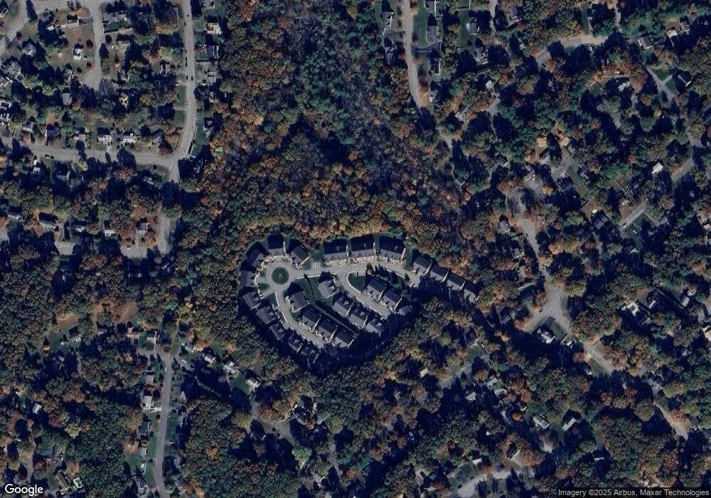
Map
Nearby Homes
- 43 Grey Wolf Dr Unit 13
- 204 Lincoln St
- 17 Longhill Rd
- 14 Pleasant St Unit B
- 30 Longobardi Dr Unit 30
- 70 Oak St
- 41 Kimberlee Ave
- 88 Crescent St
- 91 Oliver Pond Cir Unit 3
- 83 Oliver Pond Cir Unit 7
- 312 Eagles Nest Way Unit 312
- 120 Union St Unit 1
- 14 Waites Crossing
- 75 Jordan Rd
- 99 Leland Rd
- 24 Shayne Rd Unit 110
- 9 Elliot Mills Unit 5
- 8 Elliot Mills Unit 30
- 5 Elliot Mills Unit 3
- 7 Elliot Mills Unit 4
- 45 Grey Wolf Dr Unit 14
- 43 Grey Wolf Dr
- 41 Grey Wolf Dr
- 45 Grey Wolf Dr Unit 45
- 43 Grey Wolf Dr Unit 43
- 53 Grey Wolf Dr Unit 15
- 57 Grey Wolf Dr
- 53 Grey Wolf Dr
- 53 Grey Wolf Dr Unit 53
- 39 Grey Wolf Dr
- 37 Grey Wolf Dr
- 35 Grey Wolf Dr
- 35 Grey Wolf Dr Unit 35
- 39 Grey Wolf Dr Unit 39
- 55 Grey Wolf Dr
- 145 Grey Wolf Dr Unit 145
- 147 Grey Wolf Dr
- 154 Grey Wolf Dr
- 156 Grey Wolf Dr
- 15 Grey Wolf Dr
Your Personal Tour Guide
Ask me questions while you tour the home.