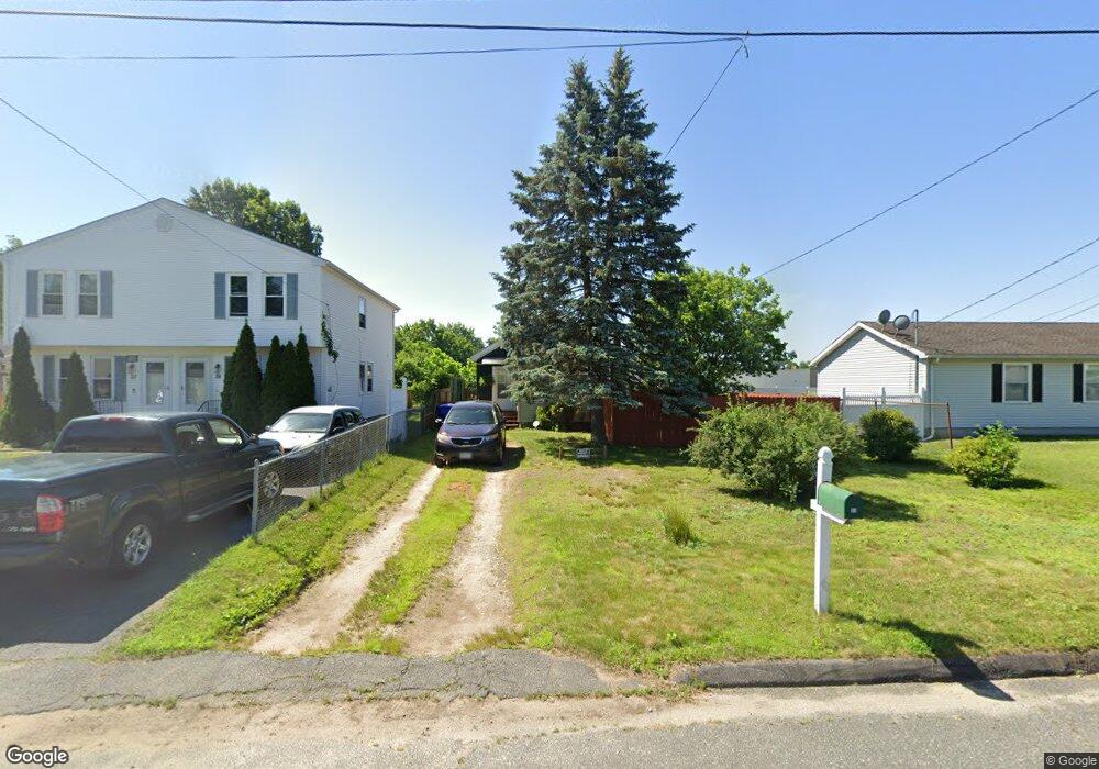
45 Newport St Springfield, MA 01119
Boston Road NeighborhoodEstimated Value: $176,000 - $225,000
2
Beds
1
Bath
712
Sq Ft
$290/Sq Ft
Est. Value
About This Home
This home is located at 45 Newport St, Springfield, MA 01119 and is currently estimated at $206,514, approximately $290 per square foot. 45 Newport St is a home located in Hampden County with nearby schools including Frank H. Freedman School, John F. Kennedy Academy, and Springfield Central High School.
Create a Home Valuation Report for This Property
The Home Valuation Report is an in-depth analysis detailing your home's value as well as a comparison with similar homes in the area
Home Values in the Area
Average Home Value in this Area
Tax History Compared to Growth
Tax History
| Year | Tax Paid | Tax Assessment Tax Assessment Total Assessment is a certain percentage of the fair market value that is determined by local assessors to be the total taxable value of land and additions on the property. | Land | Improvement |
|---|---|---|---|---|
| 2025 | $1,894 | $120,800 | $43,000 | $77,800 |
| 2024 | $2,118 | $131,900 | $40,200 | $91,700 |
| 2023 | $2,077 | $121,800 | $38,300 | $83,500 |
| 2022 | $1,765 | $93,800 | $38,300 | $55,500 |
| 2021 | $1,901 | $100,600 | $34,800 | $65,800 |
| 2020 | $1,637 | $83,800 | $34,800 | $49,000 |
| 2019 | $1,539 | $78,200 | $34,800 | $43,400 |
| 2018 | $1,441 | $73,200 | $34,800 | $38,400 |
| 2017 | $1,561 | $79,400 | $34,800 | $44,600 |
| 2016 | $1,301 | $66,200 | $34,800 | $31,400 |
| 2015 | $1,306 | $66,400 | $34,800 | $31,600 |
Source: Public Records
Map
Nearby Homes
- 108 Barre St
- 855 Boston Rd
- 53 Holden St
- 34 Wallace St
- 100 Champlain St
- 42 Geneva St
- 37 Champlain Ave
- 70 Shumway St Unit 29
- 70 Shumway St Unit A1
- 110 Lamplighter Ln Unit C
- 97-99 Pine Grove St
- 89 Pine Grove St
- 55 Woodrow St
- 34 Temby St
- 140 Cardinal St
- 195 Almira Rd
- 543 Boston Rd
- 56 Contessa Ln
- 32 Better Way
- 523 Boston Rd