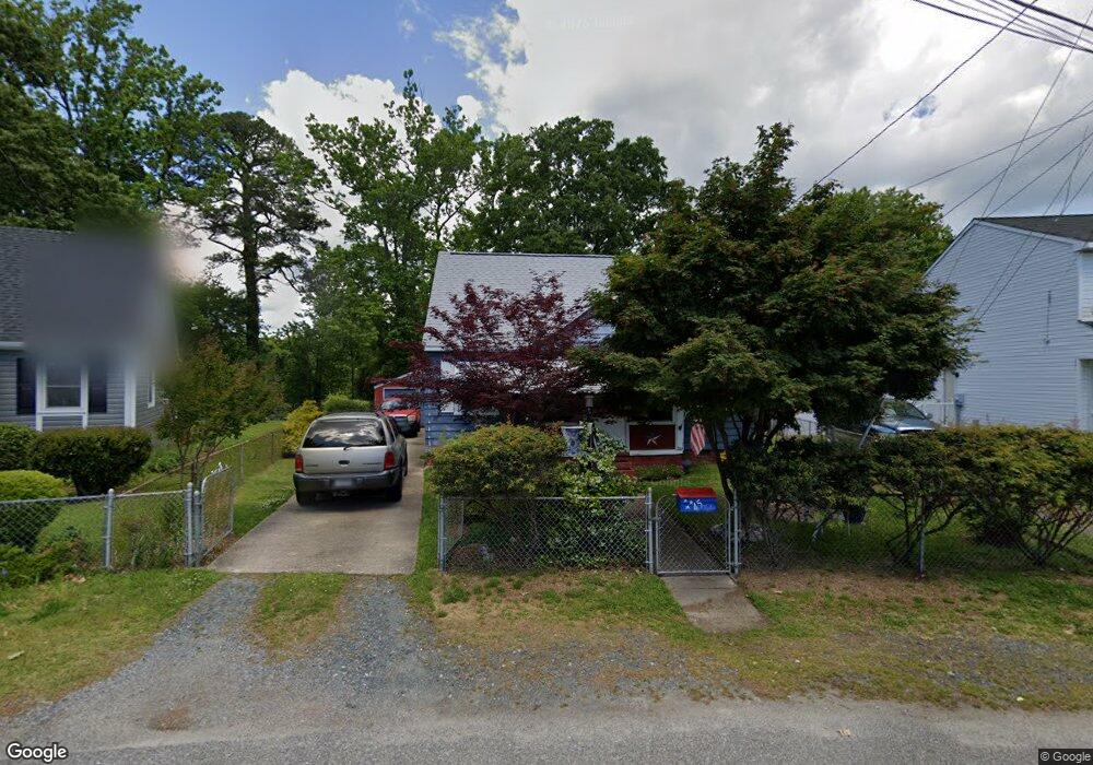
45 W Sunset Rd Hampton, VA 23669
Newtown-Crown Point NeighborhoodEstimated Value: $211,000 - $273,000
3
Beds
1
Bath
1,516
Sq Ft
$160/Sq Ft
Est. Value
About This Home
This home is located at 45 W Sunset Rd, Hampton, VA 23669 and is currently estimated at $242,366, approximately $159 per square foot. 45 W Sunset Rd is a home located in Hampton City with nearby schools including Hunter B. Andrews PK-8 School, C. Alton Lindsay Middle School, and Phoebus High School.
Ownership History
Date
Name
Owned For
Owner Type
Purchase Details
Closed on
Mar 29, 2000
Sold by
Meyers Ruth P
Bought by
Taylor Gary C
Current Estimated Value
Home Financials for this Owner
Home Financials are based on the most recent Mortgage that was taken out on this home.
Original Mortgage
$66,147
Outstanding Balance
$22,939
Interest Rate
8.4%
Estimated Equity
$219,427
Create a Home Valuation Report for This Property
The Home Valuation Report is an in-depth analysis detailing your home's value as well as a comparison with similar homes in the area
Home Values in the Area
Average Home Value in this Area
Purchase History
| Date | Buyer | Sale Price | Title Company |
|---|---|---|---|
| Taylor Gary C | $64,850 | -- |
Source: Public Records
Mortgage History
| Date | Status | Borrower | Loan Amount |
|---|---|---|---|
| Open | Taylor Gary C | $66,147 |
Source: Public Records
Tax History
| Year | Tax Paid | Tax Assessment Tax Assessment Total Assessment is a certain percentage of the fair market value that is determined by local assessors to be the total taxable value of land and additions on the property. | Land | Improvement |
|---|---|---|---|---|
| 2025 | $148 | $189,400 | $53,500 | $135,900 |
| 2024 | $2,106 | $183,100 | $53,500 | $129,600 |
| 2023 | $2,082 | $179,500 | $53,500 | $126,000 |
| 2022 | $1,812 | $153,600 | $48,200 | $105,400 |
| 2021 | $65 | $139,700 | $48,200 | $91,500 |
| 2020 | $1,627 | $131,200 | $38,700 | $92,500 |
| 2019 | $1,525 | $123,000 | $38,700 | $84,300 |
| 2018 | $94 | $125,000 | $38,700 | $86,300 |
| 2017 | $94 | $0 | $0 | $0 |
| 2016 | $94 | $125,000 | $0 | $0 |
| 2015 | $94 | $0 | $0 | $0 |
| 2014 | $84 | $121,700 | $36,200 | $85,500 |
Source: Public Records
Map
Nearby Homes
- 39 W Sunset Rd
- 410 Worster Ave
- 44 Henry St
- 460 England Ave
- 416 Worster Ave
- 3818 Shell Rd
- 29 Moss Ave
- 430 Newport News Ave
- 415 Lee St
- 241 Newport News Ave
- 438 Highland Ave
- 163 Columbia Ave
- 635 Homestead Ave
- 159 Columbia Ave
- 621 Fairland Ave
- 714 Milford Ave
- 4408 Victoria Blvd
- 622 Chapel St
- 615 Westwood Ave
- 27 Trail St
- 47 W Sunset Rd
- 43 W Sunset Rd
- 49 W Sunset Rd
- 70 Henry St
- 42 W Sunset Rd
- 68 Henry St
- 565 Providence St
- 601 Providence St
- 603 Providence St
- 605 Providence St
- 59 Henry St
- 563 Providence St
- 40 W Sunset Rd
- 617 Providence St
- 613 Providence St
- 37 W Sunset Rd
- 561 Providence St
- 559 Providence St
- 607 Providence St
- 57 Henry St
Your Personal Tour Guide
Ask me questions while you tour the home.