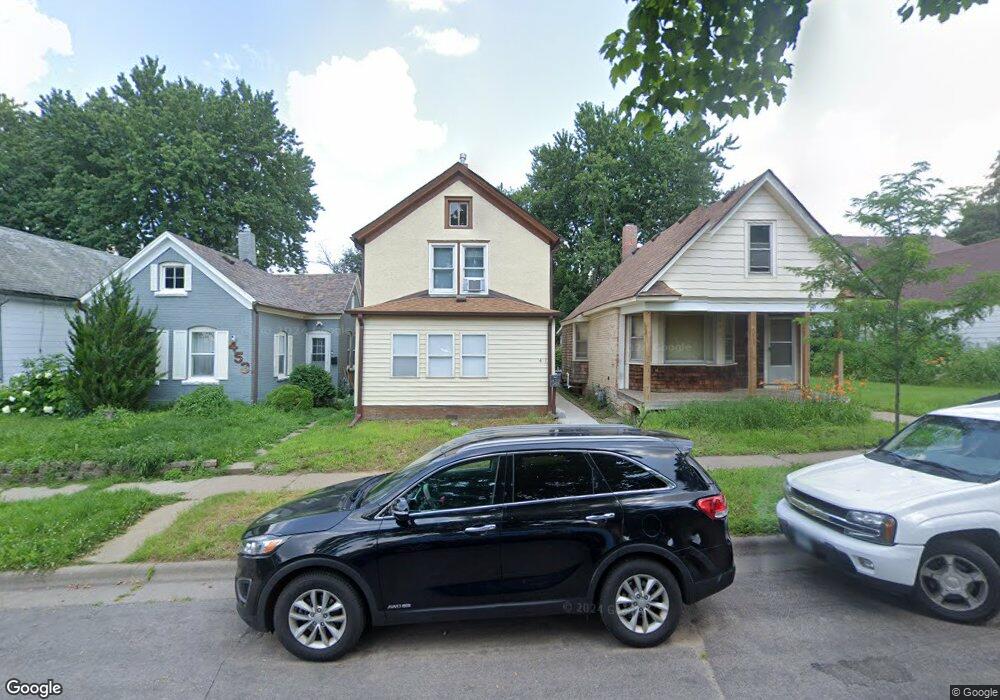
451 Hatch Ave Saint Paul, MN 55117
North End NeighborhoodEstimated Value: $148,000 - $184,000
2
Beds
1
Bath
1,840
Sq Ft
$88/Sq Ft
Est. Value
About This Home
This home is located at 451 Hatch Ave, Saint Paul, MN 55117 and is currently estimated at $162,784, approximately $88 per square foot. 451 Hatch Ave is a home located in Ramsey County with nearby schools including Como Park Elementary School, Murray Middle School, and Como Park Senior High School.
Ownership History
Date
Name
Owned For
Owner Type
Purchase Details
Closed on
May 14, 2004
Sold by
Unavailable
Bought by
Unavailable
Current Estimated Value
Purchase Details
Closed on
Dec 28, 2000
Sold by
Timmerman Leo A and Timmerman Dawn M
Bought by
Rangel Noe Pascual
Purchase Details
Closed on
Jan 2, 1997
Sold by
Ryan John P and Ryan Mary C
Bought by
Timmerman Leo A and Timmerman Dawn M
Purchase Details
Closed on
Jul 9, 1993
Sold by
Firstar Mtg
Bought by
Ryan John P and Ryan Mary C
Create a Home Valuation Report for This Property
The Home Valuation Report is an in-depth analysis detailing your home's value as well as a comparison with similar homes in the area
Home Values in the Area
Average Home Value in this Area
Purchase History
| Date | Buyer | Sale Price | Title Company |
|---|---|---|---|
| Unavailable | $110,000 | -- | |
| Rangel Noe Pascual | $51,000 | -- | |
| Timmerman Leo A | $45,000 | -- | |
| Ryan John P | $10,500 | -- |
Source: Public Records
Tax History Compared to Growth
Tax History
| Year | Tax Paid | Tax Assessment Tax Assessment Total Assessment is a certain percentage of the fair market value that is determined by local assessors to be the total taxable value of land and additions on the property. | Land | Improvement |
|---|---|---|---|---|
| 2025 | $2,058 | $143,300 | $25,000 | $118,300 |
| 2023 | $2,058 | $117,800 | $20,000 | $97,800 |
| 2022 | $1,702 | $116,800 | $20,000 | $96,800 |
| 2021 | $1,646 | $101,000 | $20,000 | $81,000 |
| 2020 | $1,984 | $101,200 | $7,100 | $94,100 |
| 2019 | $1,290 | $106,500 | $7,100 | $99,400 |
| 2018 | $1,228 | $71,800 | $7,100 | $64,700 |
| 2017 | $992 | $63,300 | $7,100 | $56,200 |
| 2016 | $674 | $0 | $0 | $0 |
| 2015 | $706 | $37,700 | $7,100 | $30,600 |
| 2014 | $996 | $0 | $0 | $0 |
Source: Public Records
Map
Nearby Homes
- 956 Western Ave N
- 1040 Cumberland St
- 359 Stinson St W
- 1083 Western Ave N
- 1104 MacKubin St
- 569 Hatch Ave
- 916 Farrington St
- 1067 Farrington St
- 552 Burgess St
- 1049 Kent St
- 310 Burgess St
- 283 Front Ave
- 306 Burgess St
- 1110 Virginia St
- 1071 Matilda St
- 352 Como Ave
- 954 Galtier St
- 1165 Norton St
- 1175 Arundel St
- 1176 Norton St
- 453 Hatch Ave
- 453 453 Hatch Ave
- 451 Hatch Ave W
- 449 Hatch Ave
- 457 Hatch Ave
- 459 Hatch Ave
- 445 Hatch Ave
- 465 Hatch Ave
- 1005 Arundel St
- 1007 Arundel St
- 469 Hatch Ave
- 452 Lawson Ave W
- 452 452 Lawson-Avenue-w
- 456 Lawson Ave W
- 471 Hatch Ave
- 460 Lawson Ave W
- 448 Lawson Ave W
- 450 Hatch Ave
- 464 Lawson Ave W
- 444 Lawson Ave W