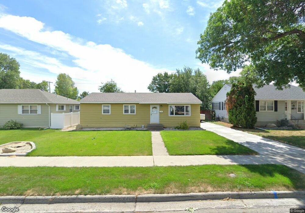
4512 Phillip St Billings, MT 59101
South Central Billings NeighborhoodEstimated Value: $276,000 - $287,529
3
Beds
1
Bath
1,056
Sq Ft
$267/Sq Ft
Est. Value
About This Home
This home is located at 4512 Phillip St, Billings, MT 59101 and is currently estimated at $281,882, approximately $266 per square foot. 4512 Phillip St is a home located in Yellowstone County with nearby schools including Newman School, Riverside Junior High School, and Billings West High School.
Ownership History
Date
Name
Owned For
Owner Type
Purchase Details
Closed on
Jul 23, 2021
Sold by
Stauduher Thomas J
Bought by
Stauduhar Thomas J and Stauduhar Lisa L
Current Estimated Value
Home Financials for this Owner
Home Financials are based on the most recent Mortgage that was taken out on this home.
Original Mortgage
$235,000
Outstanding Balance
$213,421
Interest Rate
2.96%
Mortgage Type
New Conventional
Estimated Equity
$68,461
Create a Home Valuation Report for This Property
The Home Valuation Report is an in-depth analysis detailing your home's value as well as a comparison with similar homes in the area
Home Values in the Area
Average Home Value in this Area
Purchase History
| Date | Buyer | Sale Price | Title Company |
|---|---|---|---|
| Stauduhar Thomas J | -- | First Montana Title Co | |
| Stauduhar Thomas J | -- | First Montana Title Co |
Source: Public Records
Mortgage History
| Date | Status | Borrower | Loan Amount |
|---|---|---|---|
| Open | Stauduhar Thomas J | $235,000 |
Source: Public Records
Tax History Compared to Growth
Tax History
| Year | Tax Paid | Tax Assessment Tax Assessment Total Assessment is a certain percentage of the fair market value that is determined by local assessors to be the total taxable value of land and additions on the property. | Land | Improvement |
|---|---|---|---|---|
| 2025 | $2,325 | $241,100 | $38,675 | $202,425 |
| 2024 | $2,325 | $228,800 | $37,879 | $190,921 |
| 2023 | $2,321 | $228,800 | $37,879 | $190,921 |
| 2022 | $2,061 | $177,300 | $31,378 | $145,922 |
| 2021 | $1,963 | $177,300 | $0 | $0 |
| 2020 | $1,851 | $156,500 | $0 | $0 |
| 2019 | $1,771 | $156,500 | $0 | $0 |
| 2018 | $1,773 | $154,200 | $0 | $0 |
| 2017 | $1,726 | $154,200 | $0 | $0 |
| 2016 | $1,459 | $128,500 | $0 | $0 |
| 2015 | $1,429 | $128,500 | $0 | $0 |
| 2014 | $1,364 | $65,137 | $0 | $0 |
Source: Public Records
Map
Nearby Homes
- 605 Calhoun Ln
- 4413 Ryan Ave
- 4645 Phillip St
- 4429 Lux Ave
- 4231 Stone St
- 820 Arlington Dr Unit 7
- 307 S Billings Blvd Unit 36
- 580 Jackson St
- 342 Jackson St
- 4039 Cambridge Dr
- 329 Jackson St
- 3905 King Ave E
- 226 Moore Ln
- 137 Jackson St
- 720 Washington St
- 12 Macarthur Ave
- 418 Cook Ave
- 48 Jackson St
- 231 S 12th St W
- 4131 Buchanan Ave
- 4518 Philip
- 4508 Phillip St
- 4518 Phillip St
- 4513 Stone St
- 4522 Phillip St
- 4504 Phillip St
- 4507 Stone St
- 4517 Stone St
- 4511 Phillip St
- 4521 Stone St
- 4501 Stone St
- 4517 Phillip St
- 4505 Phillip St
- 4446 Phillip St
- 4521 Phillip St
- 4501 Phillip St
- 4527 Stone St
- 4447 Stone St
- 4528 Phillip St
- 4525 Phillip St