452 Barrks Farm Rd Morganton, GA 30560
Estimated Value: $367,000 - $373,000
--
Bed
1
Bath
947
Sq Ft
$391/Sq Ft
Est. Value
About This Home
This home is located at 452 Barrks Farm Rd, Morganton, GA 30560 and is currently estimated at $370,000, approximately $390 per square foot. 452 Barrks Farm Rd is a home with nearby schools including Fannin County High School.
Ownership History
Date
Name
Owned For
Owner Type
Purchase Details
Closed on
Oct 9, 2025
Sold by
Hunter Tracy F
Bought by
Tracy F Hunter Living Trust Dated June 2 and Hunter Tracy F
Current Estimated Value
Purchase Details
Closed on
Apr 26, 2017
Sold by
Verner Judee B
Bought by
Hunter Tracy F
Purchase Details
Closed on
Nov 17, 1993
Sold by
Barrks Farm Develop
Bought by
Verner Judee B
Purchase Details
Closed on
Jun 22, 1993
Sold by
Wolford Vance E
Bought by
Barrks Farm Develop
Purchase Details
Closed on
Aug 13, 1976
Bought by
Wolford Vance E
Create a Home Valuation Report for This Property
The Home Valuation Report is an in-depth analysis detailing your home's value as well as a comparison with similar homes in the area
Home Values in the Area
Average Home Value in this Area
Purchase History
| Date | Buyer | Sale Price | Title Company |
|---|---|---|---|
| Tracy F Hunter Living Trust Dated June 2 | -- | -- | |
| Hunter Tracy F | -- | -- | |
| Verner Judee B | $45,000 | -- | |
| Barrks Farm Develop | $20,000 | -- | |
| Wolford Vance E | $15,300 | -- |
Source: Public Records
Tax History Compared to Growth
Tax History
| Year | Tax Paid | Tax Assessment Tax Assessment Total Assessment is a certain percentage of the fair market value that is determined by local assessors to be the total taxable value of land and additions on the property. | Land | Improvement |
|---|---|---|---|---|
| 2025 | $755 | $82,432 | $10,000 | $72,432 |
| 2024 | $755 | $82,432 | $10,000 | $72,432 |
| 2023 | $672 | $65,954 | $10,000 | $55,954 |
| 2022 | $693 | $67,989 | $10,000 | $57,989 |
| 2021 | $496 | $35,355 | $10,000 | $25,355 |
| 2020 | $504 | $35,355 | $10,000 | $25,355 |
| 2019 | $442 | $30,434 | $5,079 | $25,355 |
| 2018 | $229 | $14,868 | $2,542 | $12,326 |
| 2017 | $263 | $14,868 | $2,542 | $12,326 |
| 2016 | $37 | $12,004 | $2,542 | $9,462 |
| 2015 | $216 | $12,170 | $2,542 | $9,628 |
| 2014 | $237 | $13,332 | $2,712 | $10,620 |
| 2013 | -- | $9,985 | $2,712 | $7,273 |
Source: Public Records
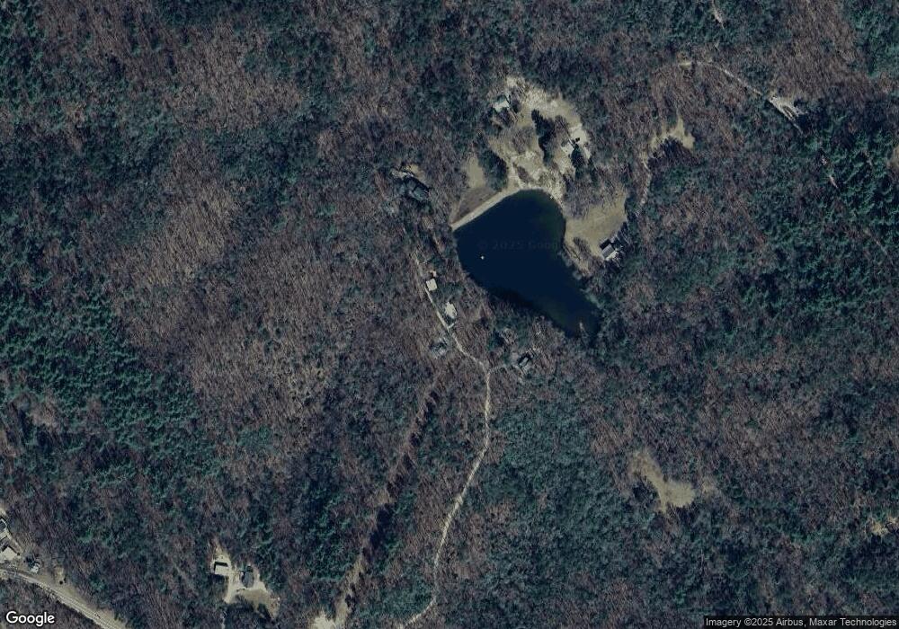
Map
Nearby Homes
- 80 Tall Pines Rd
- 14576 Morganton Hwy
- 0 Rd
- 0 Lower Star Creek (Tract A-10 67 Acres) Rd
- 161 Old Dial Rd
- 365 Lower Star Creek Rd
- 721 Lower Star Creek Rd
- 362 Old Dial Rd
- 2.24 AC Lower Star Creek Rd
- 191 Barker Ln
- 211 Highland Forest Dr
- 280 Star Creek Crossing
- 4 Mountain Rd
- 8 Mountain Rd
- Lot 188 The Ridges
- 166 Mountain Rd
- 128 Overlake Ct
- 335 Mountain Rd
- 177 Mountain Rd
- 6.4 Acre Collins Rd
- 435 Barrks Farm Rd
- 544 Barrks Farm Rd
- 663 Carter Mill Rd
- 486 Barrks Farm Rd
- 601 Carter Mill Rd
- 0 Barrks Farm Unit 297104
- 454 Carter Mill Rd
- 690 Star Creek Rd
- 426 Carter Mill Rd
- 426 Carter Mill Rd
- 1032 Richards Branch Rd
- 80 Tall Pines Rd
- 260 Star Creek Dr
- 106 Tall Pines Rd
- LT 8 Whisper Rd
- 157 Whisper Rd
- 14613 Morganton Hwy
- 789 Star Creek Rd
- 165 Padena Dr
- 210 Padena Dr