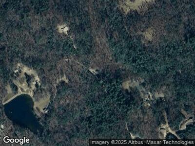
454 Carter Mill Rd Morganton, GA 30560
Estimated Value: $336,162 - $606,000
--
Bed
--
Bath
1,872
Sq Ft
$259/Sq Ft
Est. Value
About This Home
This home is located at 454 Carter Mill Rd, Morganton, GA 30560 and is currently estimated at $484,541, approximately $258 per square foot. 454 Carter Mill Rd is a home with nearby schools including Fannin County High School.
Ownership History
Date
Name
Owned For
Owner Type
Purchase Details
Closed on
Mar 27, 2017
Sold by
Merrell Ronald Lee
Bought by
Towe Austin Alvin
Current Estimated Value
Purchase Details
Closed on
Jun 14, 2011
Sold by
Rogers Sherry
Bought by
Merrell Ronnie Trustee
Home Financials for this Owner
Home Financials are based on the most recent Mortgage that was taken out on this home.
Original Mortgage
$30,000
Interest Rate
4.62%
Mortgage Type
Credit Line Revolving
Purchase Details
Closed on
Aug 25, 2009
Sold by
Rogers Sherry
Bought by
Merrell Ronnie Trustee
Create a Home Valuation Report for This Property
The Home Valuation Report is an in-depth analysis detailing your home's value as well as a comparison with similar homes in the area
Home Values in the Area
Average Home Value in this Area
Purchase History
| Date | Buyer | Sale Price | Title Company |
|---|---|---|---|
| Towe Austin Alvin | -- | -- | |
| Merrell Ronnie Trustee | -- | -- | |
| Merrell Ronnie Trustee | $13,100 | -- |
Source: Public Records
Mortgage History
| Date | Status | Borrower | Loan Amount |
|---|---|---|---|
| Open | Towe Austin Alvin | $50,000 | |
| Previous Owner | Merrell Ronald Lee | $40,000 | |
| Previous Owner | Merrell Ronald Lee | $30,000 |
Source: Public Records
Tax History Compared to Growth
Tax History
| Year | Tax Paid | Tax Assessment Tax Assessment Total Assessment is a certain percentage of the fair market value that is determined by local assessors to be the total taxable value of land and additions on the property. | Land | Improvement |
|---|---|---|---|---|
| 2024 | $711 | $96,230 | $5,597 | $90,633 |
| 2023 | $662 | $78,962 | $5,597 | $73,365 |
| 2022 | $668 | $79,790 | $5,597 | $74,193 |
| 2021 | $596 | $48,360 | $5,597 | $42,763 |
| 2020 | $607 | $48,360 | $5,597 | $42,763 |
| 2019 | $564 | $43,495 | $5,597 | $37,898 |
| 2018 | $579 | $41,763 | $3,865 | $37,898 |
| 2017 | $746 | $42,149 | $3,865 | $38,284 |
| 2016 | $563 | $36,431 | $3,865 | $32,566 |
| 2015 | $593 | $36,774 | $3,865 | $32,909 |
| 2014 | $616 | $38,477 | $4,876 | $33,601 |
| 2013 | -- | $31,689 | $4,876 | $26,812 |
Source: Public Records
Map
Nearby Homes
- 14576 Morganton Hwy
- 161 Old Dial Rd
- Lot 112 Split Creek Rd
- Lot 88 Split Creek Rd
- LT 62 Mountain Meadows Trail
- Lot 188 The Ridges
- 211 Highland Forest Dr
- 50 Barker Ln
- 24 Oak Ridge Rd
- 191 Barker Ln
- 11 Collins Hollow Rd
- 8 Mountain Rd
- 122 Mountain Rd
- 166 Mountain Rd
- 167 Mountain Rd
- 158 Mountain Rd
- 165 Mountain Rd
- L-189 Mountain Rd
- 177 Mountain Rd
- 167 Star Creek Dr
- 454 Carter Mill Rd
- 426 Carter Mill Rd
- 426 Carter Mill Rd
- 435 Barrks Farm Rd
- 452 Barrks Farm Rd
- 601 Carter Mill Rd
- 544 Barrks Farm Rd
- 663 Carter Mill Rd
- 157 Whisper Rd
- LT 8 Whisper Rd
- 0 Whisper Rd
- 0 Barrks Farm Unit 297104
- 0 Barrks Farm Unit 8558635
- 486 Barrks Farm Rd
- 1032 Star Creek Rd
- 936 Star Creek Rd
- 431 Padena Dr
- 1032 Richards Branch Rd
- 80 Tall Pines Rd
- 80 Tall Pines Rd
