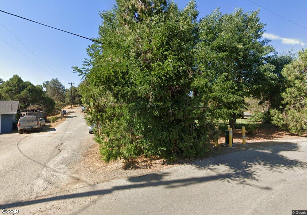
45519 Lauri Ln Oakhurst, CA 93644
Estimated Value: $398,594 - $436,000
3
Beds
2
Baths
1,892
Sq Ft
$217/Sq Ft
Est. Value
About This Home
This home is located at 45519 Lauri Ln, Oakhurst, CA 93644 and is currently estimated at $411,399, approximately $217 per square foot. 45519 Lauri Ln is a home located in Madera County with nearby schools including Wasuma Elementary School and Lex Christi Regit Academy.
Ownership History
Date
Name
Owned For
Owner Type
Purchase Details
Closed on
Apr 22, 2002
Sold by
Temple Bonnie E
Bought by
Boggs David E and Boggs Bonnie E
Current Estimated Value
Home Financials for this Owner
Home Financials are based on the most recent Mortgage that was taken out on this home.
Original Mortgage
$68,800
Interest Rate
7.08%
Mortgage Type
Purchase Money Mortgage
Create a Home Valuation Report for This Property
The Home Valuation Report is an in-depth analysis detailing your home's value as well as a comparison with similar homes in the area
Home Values in the Area
Average Home Value in this Area
Purchase History
| Date | Buyer | Sale Price | Title Company |
|---|---|---|---|
| Boggs David E | -- | First American Title |
Source: Public Records
Mortgage History
| Date | Status | Borrower | Loan Amount |
|---|---|---|---|
| Closed | Boggs David E | $68,800 |
Source: Public Records
Tax History Compared to Growth
Tax History
| Year | Tax Paid | Tax Assessment Tax Assessment Total Assessment is a certain percentage of the fair market value that is determined by local assessors to be the total taxable value of land and additions on the property. | Land | Improvement |
|---|---|---|---|---|
| 2025 | $2,034 | $204,885 | $81,148 | $123,737 |
| 2023 | $2,034 | $196,931 | $77,998 | $118,933 |
| 2022 | $1,972 | $193,070 | $76,469 | $116,601 |
| 2021 | $1,944 | $189,285 | $74,970 | $114,315 |
| 2020 | $1,934 | $187,345 | $74,202 | $113,143 |
| 2019 | $1,896 | $183,673 | $72,748 | $110,925 |
| 2018 | $1,851 | $180,072 | $71,322 | $108,750 |
| 2017 | $1,816 | $176,542 | $69,924 | $106,618 |
| 2016 | $1,756 | $173,081 | $68,553 | $104,528 |
| 2015 | $1,732 | $170,482 | $67,524 | $102,958 |
| 2014 | $1,703 | $167,144 | $66,202 | $100,942 |
Source: Public Records
Map
Nearby Homes
- 45555 Lauri Ln
- 41820 Dillon Cir
- 41409 Miami Way
- 41092 Highway 49
- 0 Deer Creek Dr
- 45412 N Oakview Dr
- 41345 Singing Hills Cir
- 41902 Woodward Way
- 45344 S Oakview Dr
- 40879 Goldside Dr
- 41243 Pamela Place
- 41028 Shandee Ln
- 42177 Lone Olive Ln
- 45304 Road 621
- 42179 High Point Ct
- 44611 Indian Rock Rd
- 46281 Eastwood Dr S
- 40957 Shandee Ln
- 0 Goldside Dr
