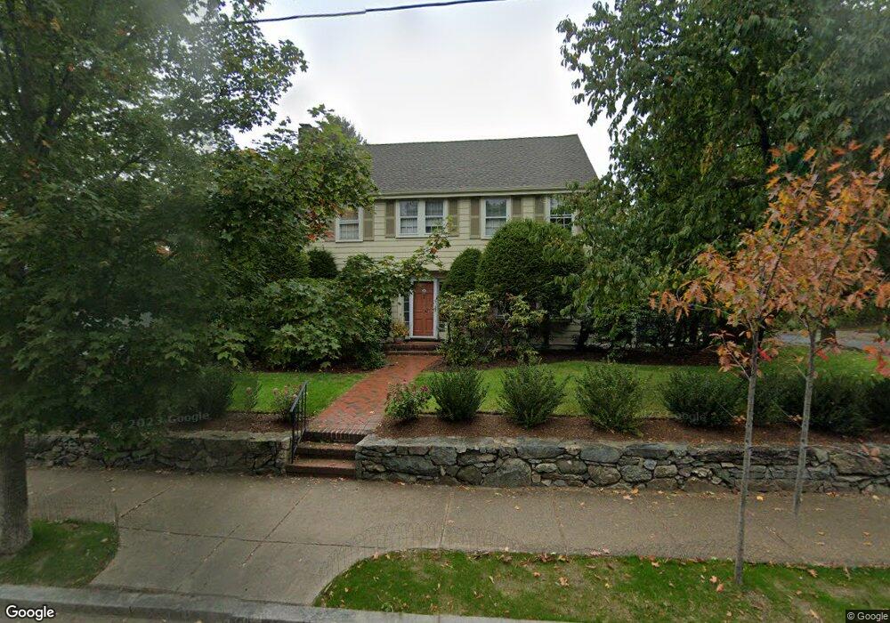
457 Waltham St West Newton, MA 02465
West Newton NeighborhoodEstimated Value: $1,138,000 - $1,371,000
4
Beds
3
Baths
2,167
Sq Ft
$590/Sq Ft
Est. Value
About This Home
This home is located at 457 Waltham St, West Newton, MA 02465 and is currently estimated at $1,277,998, approximately $589 per square foot. 457 Waltham St is a home located in Middlesex County with nearby schools including Franklin Elementary School, C.C. Burr, and F.A. Day Middle School.
Ownership History
Date
Name
Owned For
Owner Type
Purchase Details
Closed on
Aug 10, 1999
Sold by
Jlg Rt
Bought by
Brown David K and Donner Ann E
Current Estimated Value
Home Financials for this Owner
Home Financials are based on the most recent Mortgage that was taken out on this home.
Original Mortgage
$324,400
Interest Rate
7.54%
Mortgage Type
Purchase Money Mortgage
Create a Home Valuation Report for This Property
The Home Valuation Report is an in-depth analysis detailing your home's value as well as a comparison with similar homes in the area
Home Values in the Area
Average Home Value in this Area
Purchase History
| Date | Buyer | Sale Price | Title Company |
|---|---|---|---|
| Brown David K | $405,500 | -- |
Source: Public Records
Mortgage History
| Date | Status | Borrower | Loan Amount |
|---|---|---|---|
| Open | Brown David K | $357,000 | |
| Closed | Brown David K | $40,000 | |
| Closed | Brown David K | $324,400 |
Source: Public Records
Tax History Compared to Growth
Tax History
| Year | Tax Paid | Tax Assessment Tax Assessment Total Assessment is a certain percentage of the fair market value that is determined by local assessors to be the total taxable value of land and additions on the property. | Land | Improvement |
|---|---|---|---|---|
| 2025 | $10,037 | $1,024,200 | $747,700 | $276,500 |
| 2024 | $8,825 | $904,200 | $725,900 | $178,300 |
| 2023 | $8,351 | $820,300 | $552,400 | $267,900 |
| 2022 | $7,990 | $759,500 | $511,500 | $248,000 |
| 2021 | $10,906 | $716,500 | $482,500 | $234,000 |
| 2020 | $7,480 | $716,500 | $482,500 | $234,000 |
| 2019 | $10,423 | $695,600 | $468,400 | $227,200 |
| 2018 | $6,966 | $643,800 | $424,600 | $219,200 |
| 2017 | $6,754 | $607,400 | $400,600 | $206,800 |
| 2016 | $6,460 | $567,700 | $374,400 | $193,300 |
| 2015 | $6,160 | $530,600 | $349,900 | $180,700 |
Source: Public Records
Map
Nearby Homes
- 371 Cherry St
- 41 Kilburn Rd
- 287 Cherry St Unit 2
- 2 Elm St Unit 6
- 2 Elm St Unit 8
- 106 River St Unit 18
- 106 River St Unit 2
- 106 River St Unit 14
- 14 Cottage Place Unit 14
- 27 Cross St Unit 27
- 318 Austin St Unit A
- 44 Westland Ave
- 12 Wiswall St
- 56 Dearborn St
- 4 Wiswall St
- 11 Randlett Park
- 90 Auburndale Ave
- 123 Mount Vernon St Unit 2
- 123-125 Mount Vernon St
- 10 Crescent St Unit 1
- 10 Lindbergh Ave
- 5 Lindbergh Ave
- 468 Waltham St
- 16 Lindbergh Ave
- 465 Waltham St
- 473 Waltham St
- 473 Waltham St Unit 3
- 473 Waltham St Unit A
- 474 Waltham St
- 474 Waltham St Unit 1
- 462 Waltham St
- 472 Waltham St
- 472 Waltham St Unit 2
- 449 Waltham St
- 454 Waltham St
- 15 Lindbergh Ave
- 24 Lindbergh Ave
- 478 Waltham St
- 11 River St
- 21 Lindbergh Ave