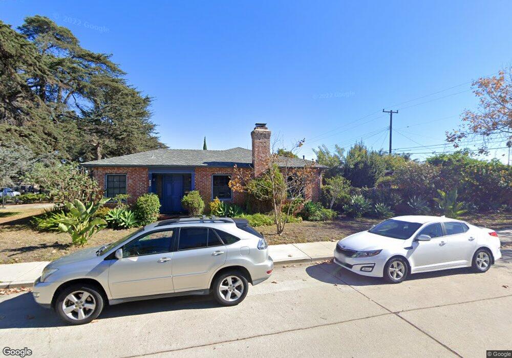
458 Carty Dr Oxnard, CA 93030
Wilson NeighborhoodEstimated Value: $692,000 - $834,407
3
Beds
2
Baths
2,038
Sq Ft
$379/Sq Ft
Est. Value
About This Home
This home is located at 458 Carty Dr, Oxnard, CA 93030 and is currently estimated at $773,352, approximately $379 per square foot. 458 Carty Dr is a home located in Ventura County with nearby schools including Curren School, Pacifica High School, and Vista Real Charter High School.
Ownership History
Date
Name
Owned For
Owner Type
Purchase Details
Closed on
Apr 22, 2021
Sold by
Gottesfeld Lynn Ann Lesure
Bought by
Gottesfeld Lynn Ann Lesure and Lynn Ann Lesure
Current Estimated Value
Purchase Details
Closed on
Nov 7, 1995
Sold by
Holt Don and Mcglinchey Myrtle Myra
Bought by
Gottesfeld Eric and Gottesfeld Lynn Ann Lesure
Home Financials for this Owner
Home Financials are based on the most recent Mortgage that was taken out on this home.
Original Mortgage
$134,000
Outstanding Balance
$1,853
Interest Rate
7.48%
Estimated Equity
$771,499
Create a Home Valuation Report for This Property
The Home Valuation Report is an in-depth analysis detailing your home's value as well as a comparison with similar homes in the area
Home Values in the Area
Average Home Value in this Area
Purchase History
| Date | Buyer | Sale Price | Title Company |
|---|---|---|---|
| Gottesfeld Lynn Ann Lesure | -- | None Available | |
| Gottesfeld Eric | $167,500 | Chicago Title Co |
Source: Public Records
Mortgage History
| Date | Status | Borrower | Loan Amount |
|---|---|---|---|
| Open | Gottesfeld Eric | $134,000 |
Source: Public Records
Tax History
| Year | Tax Paid | Tax Assessment Tax Assessment Total Assessment is a certain percentage of the fair market value that is determined by local assessors to be the total taxable value of land and additions on the property. | Land | Improvement |
|---|---|---|---|---|
| 2025 | $3,319 | $278,222 | $132,882 | $145,340 |
| 2024 | $3,319 | $272,767 | $130,276 | $142,491 |
| 2023 | $3,197 | $267,419 | $127,721 | $139,698 |
| 2022 | $3,100 | $262,176 | $125,217 | $136,959 |
| 2021 | $3,159 | $257,036 | $122,762 | $134,274 |
| 2020 | $3,217 | $254,403 | $121,504 | $132,899 |
| 2019 | $3,127 | $249,416 | $119,122 | $130,294 |
| 2018 | $3,083 | $244,527 | $116,787 | $127,740 |
| 2017 | $2,928 | $239,734 | $114,498 | $125,236 |
| 2016 | $2,826 | $235,034 | $112,253 | $122,781 |
| 2015 | $2,856 | $231,506 | $110,568 | $120,938 |
| 2014 | $2,825 | $226,973 | $108,403 | $118,570 |
Source: Public Records
Map
Nearby Homes
- 800 S A St
- 303 N F St Unit 201
- 307 N F St Unit 102
- 246 Doris Ave
- 255 Douglas Ave
- 722 W Robert Ave
- 715 W Robert Ave
- 425 W 1st St
- 411 Eastwood Dr
- 151 S F St
- 201 203 S E St
- 1127 Douglas Ave
- 1220 W Robert Ave
- 462 N M St
- 729 Ivywood Dr
- 403 E 2nd St
- 1341 Edgewood Way Unit 23
- 550 S G St
- 1010 Janetwood Dr
- 603 S G St
- 506 Deodar Ave
- 500 Deodar Ave
- 454 Deodar Ave
- 515 W Beverly Dr
- 600 Deodar Ave
- 505 W Beverly Dr
- 455 W Beverly Dr
- 446 Deodar Ave
- 515 Deodar Ave
- 535 W Beverly Dr
- 507 Deodar Ave
- 501 Deodar Ave
- 620 Deodar Ave
- 449 W Beverly Dr
- 509 Carty Dr
- 438 Deodar Ave
- 455 Deodar 1weup75yaluw
- 549 W Beverly Dr
- 455 Deodar Ave
- 611 Deodar Ave
Your Personal Tour Guide
Ask me questions while you tour the home.