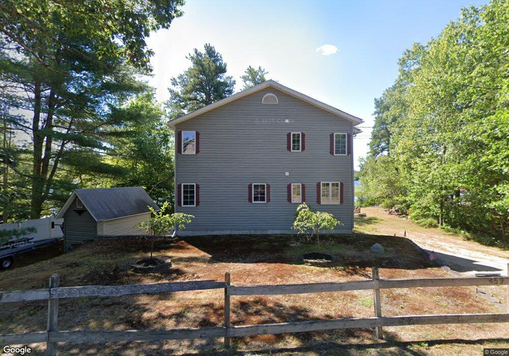
459 Huckins Rd Freedom, NH 03836
Estimated Value: $884,000 - $1,215,996
2
Beds
2
Baths
1,740
Sq Ft
$639/Sq Ft
Est. Value
About This Home
This home is located at 459 Huckins Rd, Freedom, NH 03836 and is currently estimated at $1,112,499, approximately $639 per square foot. 459 Huckins Rd is a home located in Carroll County with nearby schools including Freedom Elementary School.
Ownership History
Date
Name
Owned For
Owner Type
Purchase Details
Closed on
Dec 15, 2016
Sold by
Labelle Wesley E
Bought by
Wesley E Labelle Lt
Current Estimated Value
Purchase Details
Closed on
Jun 18, 2015
Sold by
Duchesneau Patricia L
Bought by
Labelle Wesley
Home Financials for this Owner
Home Financials are based on the most recent Mortgage that was taken out on this home.
Original Mortgage
$306,000
Interest Rate
3.78%
Mortgage Type
New Conventional
Create a Home Valuation Report for This Property
The Home Valuation Report is an in-depth analysis detailing your home's value as well as a comparison with similar homes in the area
Purchase History
| Date | Buyer | Sale Price | Title Company |
|---|---|---|---|
| Wesley E Labelle Lt | -- | -- | |
| Labelle Wesley | $340,000 | -- |
Source: Public Records
Mortgage History
| Date | Status | Borrower | Loan Amount |
|---|---|---|---|
| Previous Owner | Labelle Wesley | $306,000 |
Source: Public Records
Tax History
| Year | Tax Paid | Tax Assessment Tax Assessment Total Assessment is a certain percentage of the fair market value that is determined by local assessors to be the total taxable value of land and additions on the property. | Land | Improvement |
|---|---|---|---|---|
| 2025 | $8,585 | $1,161,700 | $805,400 | $356,300 |
| 2024 | $8,341 | $1,161,700 | $805,400 | $356,300 |
| 2023 | $6,471 | $589,300 | $371,600 | $217,700 |
| 2022 | $6,029 | $589,300 | $371,600 | $217,700 |
| 2021 | $6,394 | $589,300 | $371,600 | $217,700 |
| 2020 | $6,288 | $589,300 | $371,600 | $217,700 |
| 2019 | $5,748 | $423,900 | $276,600 | $147,300 |
| 2018 | $5,481 | $423,900 | $276,600 | $147,300 |
| 2016 | $5,341 | $423,900 | $276,600 | $147,300 |
| 2015 | $5,749 | $475,100 | $318,800 | $156,300 |
| 2014 | $5,796 | $475,100 | $318,800 | $156,300 |
| 2013 | $5,872 | $475,100 | $318,800 | $156,300 |
Source: Public Records
Map
Nearby Homes
- 387 Huckins Rd
- 2 Quail Rd
- 164 Leavitt Rd
- 16 Channel Rd
- 112 N Broadbay Rd
- 5-11 Friedman Ln
- 5 Friedman Ln
- 29 Milford Ave
- 34 Abenaki Dr
- 118 Washington Rd Unit 55
- Lot 1 Parsons Rd
- Lot 4 Parsons Rd
- Lot 12 Friedman Ln
- 13 Benson Rd
- 16 Hodsdon Shore Rd
- 1 Richard Rd
- 78 School St
- 7 Puritan Ln
- 12 Circle Rd
- 55 Pine River Rd
- 463 Huckins Rd
- 443 Huckins Rd
- 446 Huckins Rd
- 462 Huckins Rd
- 469 Huckins Rd
- 439 Huckins Rd
- 444 Huckins Rd
- 00 Huckins Rd
- 433 Huckins Rd
- 473 Huckins Rd
- 431 & 428 Huckins Rd
- 436 Huckins Rd
- 431 Huckins Rd
- 477 Huckins Rd
- 15 Spindle Point Rd
- 76-76/01 Spindle Point Rd
- 72 Spindle Point Rd
- 75 Spindle Point Rd
- 428 Huckins Rd
- 9 Spindle Point Rd
Your Personal Tour Guide
Ask me questions while you tour the home.