45W394 John St Unit 2 Big Rock, IL 60511
Estimated Value: $422,259 - $483,000
Studio
--
Bath
2,225
Sq Ft
$204/Sq Ft
Est. Value
About This Home
This home is located at 45W394 John St Unit 2, Big Rock, IL 60511 and is currently estimated at $454,315, approximately $204 per square foot. 45W394 John St Unit 2 is a home located in Kane County with nearby schools including Hinckley-Big Rock Elementary School, Hinckley-Big Rock Middle School, and Hinckley-Big Rock High School.
Ownership History
Date
Name
Owned For
Owner Type
Purchase Details
Closed on
Sep 30, 2003
Sold by
Fayfar Donald J and Fayfar Nancy J
Bought by
Poss Mark A
Current Estimated Value
Purchase Details
Closed on
May 15, 1998
Sold by
Livi Fayfar Donald J and Livi Donald J Fayfar Revocable
Bought by
Fayfar Donald J and Fayfar Nancy J
Home Financials for this Owner
Home Financials are based on the most recent Mortgage that was taken out on this home.
Original Mortgage
$100,000
Interest Rate
7.27%
Purchase Details
Closed on
Jul 1, 1994
Sold by
Fayfar Donald and Fayfar Nancy
Bought by
Livi Fayfar Donald J and Livi Donald J Fayfar Revocable
Create a Home Valuation Report for This Property
The Home Valuation Report is an in-depth analysis detailing your home's value as well as a comparison with similar homes in the area
Home Values in the Area
Average Home Value in this Area
Purchase History
We collect this data history from publicly available records. To have your information removed, we recommend requesting removal directly through your county’s website.
| Date | Buyer | Sale Price | Title Company |
|---|---|---|---|
| Poss Mark A | $309,000 | Multiple | |
| Fayfar Donald J | -- | Stewart Title Company | |
| Livi Fayfar Donald J | -- | None Available | |
| Livin Fayfar Nancy J | -- | None Available |
Source: Public Records
Mortgage History
We collect this data history from publicly available records. To have your information removed, we recommend requesting removal directly through your county’s website.
| Date | Status | Borrower | Loan Amount |
|---|---|---|---|
| Previous Owner | Fayfar Donald J | $100,000 |
Source: Public Records
Tax History
| Year | Tax Paid | Tax Assessment Tax Assessment Total Assessment is a certain percentage of the fair market value that is determined by local assessors to be the total taxable value of land and additions on the property. | Land | Improvement |
|---|---|---|---|---|
| 2024 | $9,094 | $141,054 | $23,992 | $117,062 |
| 2023 | $8,753 | $130,172 | $22,141 | $108,031 |
| 2022 | $8,481 | $122,124 | $20,772 | $101,352 |
| 2021 | $8,658 | $114,757 | $19,519 | $95,238 |
| 2020 | $8,493 | $110,834 | $18,852 | $91,982 |
| 2019 | $8,147 | $105,345 | $17,918 | $87,427 |
| 2018 | $7,557 | $97,363 | $17,274 | $80,089 |
| 2017 | $7,301 | $92,077 | $16,336 | $75,741 |
| 2016 | $7,113 | $86,498 | $16,336 | $70,162 |
| 2015 | -- | $82,305 | $16,071 | $66,234 |
| 2014 | -- | $75,651 | $16,071 | $59,580 |
| 2013 | -- | $77,782 | $16,524 | $61,258 |
Source: Public Records
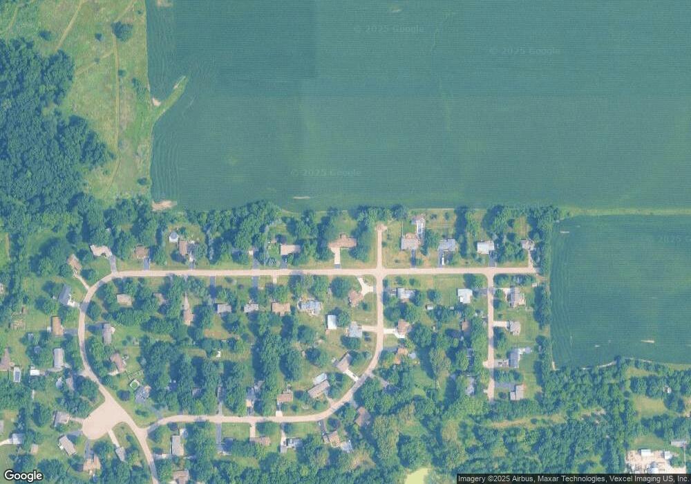
Map
Nearby Homes
- 17 Ashe Rd
- 155 Maple St
- 22 Rolling Oaks Rd Unit C
- 42W675 Star Ln
- 47D Rolling Oaks Rd
- 0 Jefferson Ave
- 534 Mallard Ln Unit B
- 427 Essex Ct
- 208 Oak St
- 102 Chelsea Ave
- 124 W Park Ave Unit C
- 4593 Garritano St Unit C
- 4568 Garritano St Unit B
- 6S642 Davis Rd
- 4533 Garritano St Unit A
- 48W508 Hinckley Rd
- 122 Bertram Dr Unit D
- 142 Bertram Dr Unit B
- 128 Bertram Dr Unit O
- 222 Bertram Dr Unit K
- 45W448 John St
- 45W393 John St
- 45W348 John St
- 45W433 John St
- 45W349 John St
- 8S600 Bergman Dr
- 45W453 John St
- 45W300 John St
- 45W478 John St
- 8S603 Bergman Dr
- 45W469 John St
- 8S644 Bergman Dr
- 8S621 Bergman Dr Unit 3
- 8S580 Bourtzos Rd
- 45W481 John St
- 45W406 Bergman Dr
- 8S610 Bourtzos Rd
- 45W270 John St
- 45W518 John St
- 8S649 Bergman Dr
Your Personal Tour Guide
Ask me questions while you tour the home.