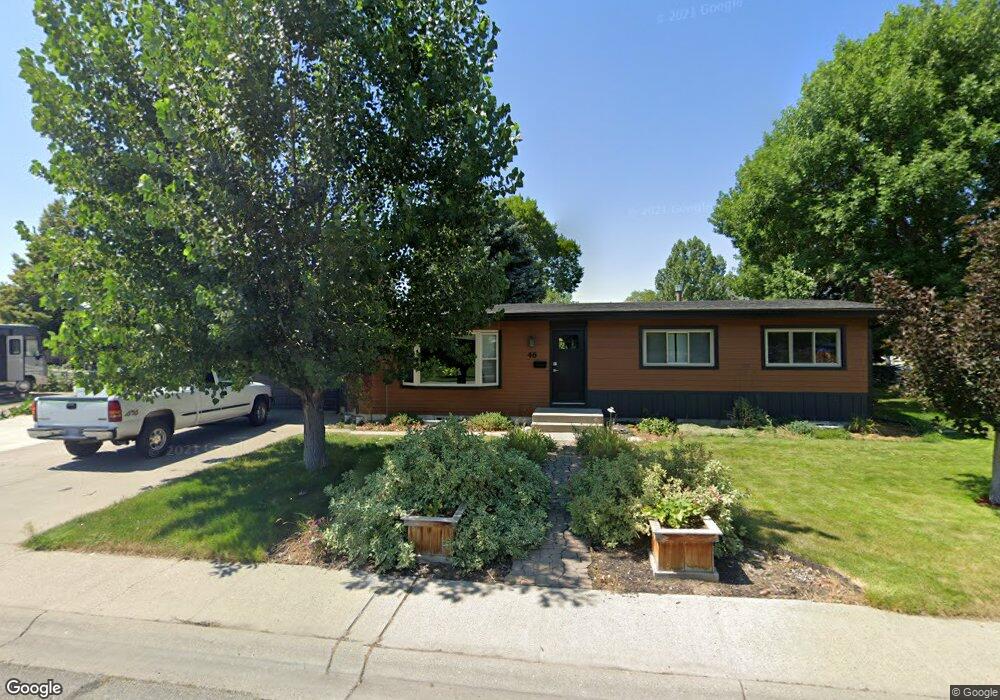
46 29th St W Billings, MT 59102
West End NeighborhoodEstimated Value: $332,000 - $400,000
4
Beds
3
Baths
2,576
Sq Ft
$145/Sq Ft
Est. Value
About This Home
This home is located at 46 29th St W, Billings, MT 59102 and is currently estimated at $372,376, approximately $144 per square foot. 46 29th St W is a home located in Yellowstone County with nearby schools including Meadowlark School, Will James Junior High School, and Billings West High School.
Ownership History
Date
Name
Owned For
Owner Type
Purchase Details
Closed on
Jul 17, 2018
Sold by
Williams Richard and Williams Lisa
Bought by
Webb Michael J
Current Estimated Value
Purchase Details
Closed on
Mar 21, 2014
Sold by
Corneliusen Brandon R and Corneliusen Krystal D
Bought by
Williams Richard and Williams Lisa
Home Financials for this Owner
Home Financials are based on the most recent Mortgage that was taken out on this home.
Original Mortgage
$191,995
Interest Rate
4.3%
Mortgage Type
New Conventional
Create a Home Valuation Report for This Property
The Home Valuation Report is an in-depth analysis detailing your home's value as well as a comparison with similar homes in the area
Home Values in the Area
Average Home Value in this Area
Purchase History
| Date | Buyer | Sale Price | Title Company |
|---|---|---|---|
| Webb Michael J | -- | -- | |
| Williams Richard | -- | First Montana Title |
Source: Public Records
Mortgage History
| Date | Status | Borrower | Loan Amount |
|---|---|---|---|
| Previous Owner | Williams Richard | $191,995 |
Source: Public Records
Tax History Compared to Growth
Tax History
| Year | Tax Paid | Tax Assessment Tax Assessment Total Assessment is a certain percentage of the fair market value that is determined by local assessors to be the total taxable value of land and additions on the property. | Land | Improvement |
|---|---|---|---|---|
| 2025 | $3,357 | $365,600 | $52,250 | $313,350 |
| 2024 | $3,357 | $334,900 | $48,772 | $286,128 |
| 2023 | $3,355 | $334,900 | $48,772 | $286,128 |
| 2022 | $2,344 | $248,200 | $0 | $0 |
| 2021 | $2,716 | $248,200 | $0 | $0 |
| 2020 | $2,839 | $248,600 | $0 | $0 |
| 2019 | $2,714 | $248,600 | $0 | $0 |
| 2018 | $2,473 | $219,500 | $0 | $0 |
| 2017 | $2,408 | $219,500 | $0 | $0 |
| 2016 | $2,272 | $208,600 | $0 | $0 |
| 2015 | $2,224 | $208,600 | $0 | $0 |
| 2014 | $1,982 | $97,785 | $0 | $0 |
Source: Public Records
Map
Nearby Homes
- 108 30th St W
- 2937 Miles Ave
- 2702 Howard Ave
- 3113 Saint Johns Ave
- 2845 Cumberland Hill Rd
- 3079 Hunters Ridge Loop
- 207 Boston Hill Rd
- 3087 Hunters Ridge Loop
- 2636 Custer Ave
- 2645 Custer Ave
- 2608 Terry Ave
- 3203 Lynn Ave
- 260 Brookshire Blvd
- 2539 Custer Ave
- 3231 Central Ave
- 2905 Lynwood Cir
- 909 Maywood Dr
- 2900 Manhattan Dr
- 915 Maywood Dr
- 3175 Solar Blvd Unit 14
- 2918 Saint Johns Ave
- 36 29th St W
- 2922 Saint Johns Ave
- 2919 Lynn Ave
- 2901 Saint Johns Ave
- 2919 Saint Johns Ave
- 2923 Lynn Ave
- 2926 Saint Johns Ave
- 2923 Saint Johns Ave
- 2927 Lynn Ave
- 2930 Saint Johns Ave
- 2927 Saint Johns Ave
- 2931 Lynn Ave
- 32 29th St W
- 2918 Lynn Ave
- 114 29th St W
- 2931 Saint Johns Ave
- 2918 Cook Ave
- 2922 Lynn Ave
- 2934 Saint Johns Ave