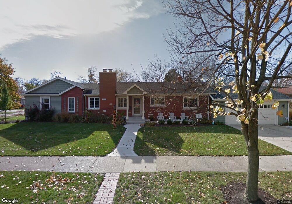
46 N Herbert Rd Riverside, IL 60546
Estimated Value: $529,652 - $605,000
3
Beds
3
Baths
1,744
Sq Ft
$327/Sq Ft
Est. Value
About This Home
This home is located at 46 N Herbert Rd, Riverside, IL 60546 and is currently estimated at $570,663, approximately $327 per square foot. 46 N Herbert Rd is a home located in Cook County with nearby schools including Central Elementary School, L J Hauser Jr High School, and Riverside Brookfield High School.
Ownership History
Date
Name
Owned For
Owner Type
Purchase Details
Closed on
Jun 29, 2010
Sold by
Sundstrom David Mark
Bought by
Shereck Daniel M and Shereck Alicia M
Current Estimated Value
Home Financials for this Owner
Home Financials are based on the most recent Mortgage that was taken out on this home.
Original Mortgage
$296,000
Outstanding Balance
$194,886
Interest Rate
4.77%
Mortgage Type
New Conventional
Estimated Equity
$375,777
Purchase Details
Closed on
Jun 29, 2001
Sold by
Lasalle Bank National Assn
Bought by
Mary Sundstrom Trust
Create a Home Valuation Report for This Property
The Home Valuation Report is an in-depth analysis detailing your home's value as well as a comparison with similar homes in the area
Home Values in the Area
Average Home Value in this Area
Purchase History
| Date | Buyer | Sale Price | Title Company |
|---|---|---|---|
| Shereck Daniel M | $370,000 | Cti | |
| Mary Sundstrom Trust | -- | -- |
Source: Public Records
Mortgage History
| Date | Status | Borrower | Loan Amount |
|---|---|---|---|
| Open | Shereck Daniel M | $296,000 |
Source: Public Records
Tax History
| Year | Tax Paid | Tax Assessment Tax Assessment Total Assessment is a certain percentage of the fair market value that is determined by local assessors to be the total taxable value of land and additions on the property. | Land | Improvement |
|---|---|---|---|---|
| 2025 | $12,695 | $43,000 | $9,653 | $33,347 |
| 2024 | $12,695 | $43,000 | $9,653 | $33,347 |
| 2023 | $12,647 | $43,000 | $9,653 | $33,347 |
| 2022 | $12,647 | $36,438 | $8,446 | $27,992 |
| 2021 | $12,185 | $36,437 | $8,446 | $27,991 |
| 2020 | $11,867 | $36,437 | $8,446 | $27,991 |
| 2019 | $9,683 | $30,941 | $7,722 | $23,219 |
| 2018 | $10,141 | $33,119 | $7,722 | $25,397 |
| 2017 | $9,832 | $33,119 | $7,722 | $25,397 |
| 2016 | $9,098 | $28,330 | $6,757 | $21,573 |
| 2015 | $8,846 | $28,330 | $6,757 | $21,573 |
| 2014 | $8,713 | $28,330 | $6,757 | $21,573 |
| 2013 | $9,286 | $32,394 | $6,757 | $25,637 |
Source: Public Records
Map
Nearby Homes
- 269 Shenstone Rd
- 369 Addison Rd
- 475 Shenstone Rd Unit 104
- 475 Shenstone Rd Unit 304
- 475 Shenstone Rd Unit 303
- 484 Shenstone Rd
- 280 Blackhawk Rd
- 231 Bartram Rd
- 10 E Burlington St Unit 2C
- 10 E Burlington St Unit 2B
- 176 Riverside Rd
- 262 Lionel Rd
- 303 Lionel Rd
- 478 Kent Rd
- 7048 35th St
- 3111 Wenonah Ave
- 315 Bartram Rd
- 78 Pine Ave
- 101 Southcote Rd
- 7336 39th St
- 256 Herrick Rd
- 252 Herrick Rd
- 62 N Herbert Rd
- 55 N Herbert Rd
- 66 N Herbert Rd
- 53 N Herbert Rd
- 61 N Herbert Rd
- 242 Herrick Rd
- 242 Herrick Rd
- 70 N Herbert Rd
- 279 Addison Rd
- 265 Herrick Rd
- 257 Herrick Rd
- 259 Addison Rd
- 283 Addison Rd
- 288 Herrick Rd
- 251 Herrick Rd
- 238 Herrick Rd
- 249 Herrick Rd
- 285 Herrick Rd
Your Personal Tour Guide
Ask me questions while you tour the home.