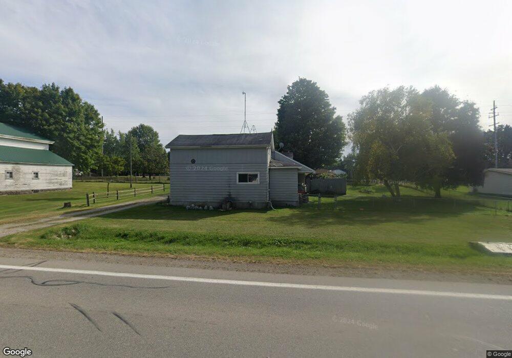
4619 Caro Rd Vassar, MI 48768
Estimated Value: $257,000 - $337,000
3
Beds
1
Bath
2,928
Sq Ft
$99/Sq Ft
Est. Value
About This Home
This home is located at 4619 Caro Rd, Vassar, MI 48768 and is currently estimated at $289,057, approximately $98 per square foot. 4619 Caro Rd is a home located in Tuscola County with nearby schools including McComb Elementary School, Schall Elementary School, and Caro Middle School.
Ownership History
Date
Name
Owned For
Owner Type
Purchase Details
Closed on
Mar 7, 2017
Sold by
Stevens Michael and Stevens Rita
Bought by
Stevens Michael and Stevens Rita
Current Estimated Value
Purchase Details
Closed on
Feb 23, 2012
Sold by
Fannie Mae
Bought by
Stevens Michael and Stevens Rita
Purchase Details
Closed on
Jul 15, 2010
Sold by
Brown Kay L
Bought by
Federal National Mortgage Association
Create a Home Valuation Report for This Property
The Home Valuation Report is an in-depth analysis detailing your home's value as well as a comparison with similar homes in the area
Purchase History
| Date | Buyer | Sale Price | Title Company |
|---|---|---|---|
| Stevens Michael | -- | None Available | |
| Stevens Michael | -- | None Available | |
| Federal National Mortgage Association | $30,500 | None Available |
Source: Public Records
Tax History
| Year | Tax Paid | Tax Assessment Tax Assessment Total Assessment is a certain percentage of the fair market value that is determined by local assessors to be the total taxable value of land and additions on the property. | Land | Improvement |
|---|---|---|---|---|
| 2025 | $1,588 | $141,300 | $0 | $0 |
| 2024 | $1,588 | $123,900 | $0 | $0 |
| 2023 | $1,703 | $91,600 | $0 | $0 |
| 2022 | $1,619 | $71,100 | $0 | $0 |
| 2021 | $1,573 | $62,700 | $0 | $0 |
| 2020 | $1,549 | $54,100 | $0 | $0 |
| 2019 | $1,523 | $57,800 | $0 | $0 |
| 2018 | $1,392 | $48,400 | $0 | $0 |
| 2017 | $1,361 | $49,400 | $0 | $0 |
| 2016 | $1,335 | $46,900 | $0 | $0 |
| 2015 | $7 | $42,000 | $0 | $0 |
| 2014 | $7 | $44,400 | $0 | $0 |
| 2013 | $7 | $43,700 | $0 | $0 |
Source: Public Records
Map
Nearby Homes
- 4027 W Caro Rd
- 2744 Kirk Rd
- 5821 Dixon Rd
- 4123 Waterman Rd
- 7688 Wilder Rd
- 1829 N Ringle Rd
- 7979 W Caro Rd
- 7991 W Dixon Rd
- 5060 Armstrong Ave
- V/L W Caro Rd
- 4071 S Vassar Rd
- 4482 Kirk
- 7844 W Gilford Rd
- 2137 N Main St
- VL Alexander Ln
- 958 N Cass Ave
- 625 Hazel St
- 641 Briarwood Dr
- 716 N Cass Ave
- 4650 Waltan Rd
Your Personal Tour Guide
Ask me questions while you tour the home.