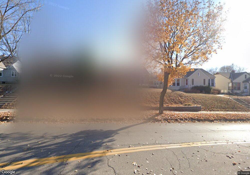
4619 Cedar Ave S Minneapolis, MN 55407
Ericsson NeighborhoodEstimated Value: $432,000 - $492,000
4
Beds
2
Baths
1,778
Sq Ft
$256/Sq Ft
Est. Value
About This Home
This home is located at 4619 Cedar Ave S, Minneapolis, MN 55407 and is currently estimated at $454,566, approximately $255 per square foot. 4619 Cedar Ave S is a home located in Hennepin County with nearby schools including Northrop Elementary School, Sanford Middle School, and Roosevelt Senior High School.
Ownership History
Date
Name
Owned For
Owner Type
Purchase Details
Closed on
Mar 5, 2018
Sold by
Burg Deborah Pope and Burg Kent
Bought by
Secrist Brian Robert and Secrist Corrin Ann
Current Estimated Value
Home Financials for this Owner
Home Financials are based on the most recent Mortgage that was taken out on this home.
Original Mortgage
$413,250
Outstanding Balance
$351,224
Interest Rate
4.04%
Mortgage Type
New Conventional
Estimated Equity
$103,342
Purchase Details
Closed on
Jul 1, 1997
Sold by
Hud
Bought by
Pope Deborah J
Create a Home Valuation Report for This Property
The Home Valuation Report is an in-depth analysis detailing your home's value as well as a comparison with similar homes in the area
Home Values in the Area
Average Home Value in this Area
Purchase History
| Date | Buyer | Sale Price | Title Company |
|---|---|---|---|
| Secrist Brian Robert | $435,000 | Results Title | |
| Pope Deborah J | $88,000 | -- |
Source: Public Records
Mortgage History
| Date | Status | Borrower | Loan Amount |
|---|---|---|---|
| Open | Secrist Brian Robert | $413,250 |
Source: Public Records
Tax History
| Year | Tax Paid | Tax Assessment Tax Assessment Total Assessment is a certain percentage of the fair market value that is determined by local assessors to be the total taxable value of land and additions on the property. | Land | Improvement |
|---|---|---|---|---|
| 2024 | $6,093 | $419,000 | $116,000 | $303,000 |
| 2023 | $5,745 | $441,000 | $116,000 | $325,000 |
| 2022 | $5,587 | $441,000 | $114,000 | $327,000 |
| 2021 | $5,671 | $404,000 | $68,000 | $336,000 |
| 2020 | $6,142 | $423,500 | $75,000 | $348,500 |
| 2019 | $5,717 | $423,500 | $55,400 | $368,100 |
| 2018 | $1,653 | $385,000 | $55,400 | $329,600 |
| 2017 | $2,886 | $187,500 | $50,400 | $137,100 |
| 2016 | $2,684 | $169,000 | $50,400 | $118,600 |
| 2015 | $2,723 | $163,500 | $50,400 | $113,100 |
| 2014 | -- | $153,500 | $50,400 | $103,100 |
Source: Public Records
Map
Nearby Homes
- 1819 E 46th St
- 4637 17th Ave S
- 4508 Cedar Ave S
- 4309 17th Ave S
- 5000 17th Ave S
- 4237 Cedar Ave S Unit C
- 4833 13th Ave S
- 4348 14th Ave S
- 4219 19th Ave S
- 4840 13th Ave S
- 4200 19th Ave S
- 4740 12th Ave S
- 4335 13th Ave S
- 4917 12th Ave S
- 5115 16th Ave S
- 4323 12th Ave S
- 2410 E 43rd St
- 4705 Elliot Ave
- 5224 17th Ave S
- 4104 14th Ave S
- 4613 Cedar Ave S
- 4625 Cedar Ave S
- 4607 Cedar Ave S
- 4629 Cedar Ave S
- 4612 Longfellow Ave
- 4639 Cedar Ave S
- 4637 Cedar Ave S
- 4608 Longfellow Ave
- 4616 Longfellow Ave
- 4601 Cedar Ave S
- 4604 Longfellow Ave
- 4620 Longfellow Ave
- 4643 Cedar Ave S
- 4624 Longfellow Ave
- 4600 Longfellow Ave
- 4614 Cedar Ave S
- 4616 Cedar Ave S
- 4610 Cedar Ave S
- 4620 Cedar Ave S
- 4618 Cedar Ave S
Your Personal Tour Guide
Ask me questions while you tour the home.