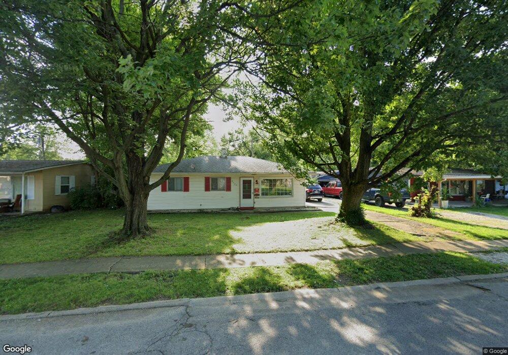
4625 Bertrand Rd Indianapolis, IN 46222
Eagledale NeighborhoodEstimated Value: $130,000 - $168,000
3
Beds
--
Bath
900
Sq Ft
$170/Sq Ft
Est. Value
About This Home
This home is located at 4625 Bertrand Rd, Indianapolis, IN 46222 and is currently estimated at $152,884, approximately $169 per square foot. 4625 Bertrand Rd is a home located in Marion County with nearby schools including Clarence Farrington School 61, Northwest Middle School, and George Washington Community High School No. 721.
Ownership History
Date
Name
Owned For
Owner Type
Purchase Details
Closed on
Aug 14, 2025
Sold by
Andrews Dawn L and Nelson Dawn L
Bought by
Nelson Drew Evan
Current Estimated Value
Home Financials for this Owner
Home Financials are based on the most recent Mortgage that was taken out on this home.
Original Mortgage
$106,350
Outstanding Balance
$106,258
Interest Rate
6.72%
Mortgage Type
New Conventional
Estimated Equity
$46,626
Create a Home Valuation Report for This Property
The Home Valuation Report is an in-depth analysis detailing your home's value as well as a comparison with similar homes in the area
Home Values in the Area
Average Home Value in this Area
Purchase History
| Date | Buyer | Sale Price | Title Company |
|---|---|---|---|
| Nelson Drew Evan | -- | Eagle Land Title |
Source: Public Records
Mortgage History
| Date | Status | Borrower | Loan Amount |
|---|---|---|---|
| Open | Nelson Drew Evan | $106,350 |
Source: Public Records
Tax History Compared to Growth
Tax History
| Year | Tax Paid | Tax Assessment Tax Assessment Total Assessment is a certain percentage of the fair market value that is determined by local assessors to be the total taxable value of land and additions on the property. | Land | Improvement |
|---|---|---|---|---|
| 2024 | $674 | $88,700 | $4,700 | $84,000 |
| 2023 | $674 | $84,100 | $4,700 | $79,400 |
| 2022 | $667 | $77,900 | $4,700 | $73,200 |
| 2021 | $550 | $61,800 | $4,700 | $57,100 |
| 2020 | $483 | $53,300 | $4,700 | $48,600 |
| 2019 | $479 | $52,200 | $4,700 | $47,500 |
| 2018 | $476 | $50,500 | $4,700 | $45,800 |
| 2017 | $421 | $49,000 | $4,700 | $44,300 |
| 2016 | $393 | $47,900 | $4,700 | $43,200 |
| 2014 | $336 | $45,300 | $4,700 | $40,600 |
| 2013 | $408 | $45,300 | $4,700 | $40,600 |
Source: Public Records
Map
Nearby Homes
- 3148 Keswick Rd
- 3221 Lowry Rd
- 4513 Patricia St
- 4317 Patricia St
- 3048 Falcon Dr
- 4917 W 34th St
- 3119 N Fuller Dr
- 3440 Brewer Dr
- 4113 Deborah St
- 4108 Kalmar Dr
- 2826 Falcon Dr
- 4718 W 36th St
- 3152 Allison Ave
- 3101 Gerrard Ave
- 3302 Allison Ave
- 2640 Shirley Dr
- 4602 W 37th St
- 11 Digby Ct
- 4932 W 37th St
- 3436 Beeler Ave
- 4619 Bertrand Rd
- 4631 Bertrand Rd
- 3142 Keswick Rd
- 3136 Keswick Rd
- 4613 Bertrand Rd
- 4620 Brittany Rd
- 3130 Keswick Rd
- 4644 Bertrand Rd
- 4638 Bertrand Rd
- 4607 Bertrand Rd
- 4614 Brittany Rd
- 4632 Bertrand Rd
- 3152 Keswick Rd
- 3126 Keswick Rd
- 4619 Brittany Rd
- 4601 Bertrand Rd
- 4626 Bertrand Rd
- 4608 Brittany Rd
- 3137 Midvale Dr
- 4613 Brittany Rd