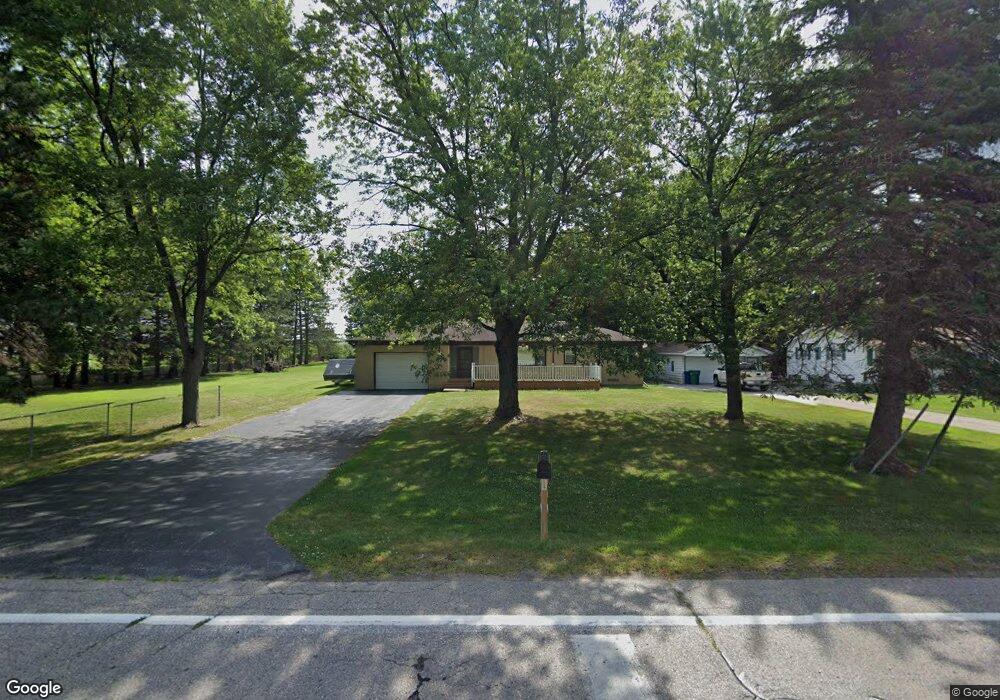
4633 Monitor Rd Bay City, MI 48706
Estimated Value: $207,000 - $232,000
--
Bed
--
Bath
1,228
Sq Ft
$182/Sq Ft
Est. Value
About This Home
This home is located at 4633 Monitor Rd, Bay City, MI 48706 and is currently estimated at $223,333, approximately $181 per square foot. 4633 Monitor Rd is a home located in Bay County with nearby schools including McAlear-Sawden Elementary School, Western Middle School, and Bay City Western High School.
Ownership History
Date
Name
Owned For
Owner Type
Purchase Details
Closed on
Mar 6, 2023
Sold by
Swantek Richard
Bought by
Richard Swantek Jr Revocable Living Trust and Swantek
Current Estimated Value
Purchase Details
Closed on
Sep 23, 2005
Sold by
Schram Gordon S
Bought by
Swantek Richard T
Home Financials for this Owner
Home Financials are based on the most recent Mortgage that was taken out on this home.
Original Mortgage
$99,999
Interest Rate
5.83%
Mortgage Type
Fannie Mae Freddie Mac
Create a Home Valuation Report for This Property
The Home Valuation Report is an in-depth analysis detailing your home's value as well as a comparison with similar homes in the area
Home Values in the Area
Average Home Value in this Area
Purchase History
| Date | Buyer | Sale Price | Title Company |
|---|---|---|---|
| Richard Swantek Jr Revocable Living Trust | -- | None Listed On Document | |
| Swantek Richard T | $124,999 | -- |
Source: Public Records
Mortgage History
| Date | Status | Borrower | Loan Amount |
|---|---|---|---|
| Previous Owner | Swantek Richard T | $99,999 |
Source: Public Records
Tax History Compared to Growth
Tax History
| Year | Tax Paid | Tax Assessment Tax Assessment Total Assessment is a certain percentage of the fair market value that is determined by local assessors to be the total taxable value of land and additions on the property. | Land | Improvement |
|---|---|---|---|---|
| 2025 | $2,914 | $125,800 | $0 | $0 |
| 2024 | $1,163 | $108,200 | $0 | $0 |
| 2023 | $1,108 | $87,100 | $0 | $0 |
| 2022 | $2,658 | $84,000 | $0 | $0 |
| 2021 | $2,492 | $86,100 | $86,100 | $0 |
| 2020 | $2,460 | $73,300 | $73,300 | $0 |
| 2019 | $1,914 | $53,900 | $0 | $0 |
| 2018 | $1,985 | $61,900 | $0 | $0 |
| 2017 | $1,890 | $60,300 | $0 | $0 |
| 2016 | $1,896 | $59,100 | $0 | $59,100 |
| 2015 | $868 | $55,000 | $0 | $55,000 |
| 2014 | $868 | $58,400 | $0 | $58,400 |
Source: Public Records
Map
Nearby Homes
- 0 Michigan Unit 50188067
- 0 Michigan Unit 50188064
- 4738 Maplewood Dr
- 4848 W Westgate Dr
- 2251 Creekmore Ln
- 2284 Midland Rd
- 2777 E Fisher Rd
- 4464 W Park Dr
- 0 S Two Mile Rd Unit 50142051
- 3103 E Midland Rd
- 0 2 Mile Rd Unit 50169642
- 4700 Foxcroft Dr
- 5115 Baxman Rd
- 16 Cove Dr
- 12 Cove Dr
- 14 Cove Dr
- 3176 E Fisher Rd
- 3226 Kiesel Rd
- 4543 Westfield Ct
- 3077 Glenway Place
- 4641 Monitor Rd
- 4651 Monitor Rd
- 4663 Monitor Rd
- 4613 Monitor Rd
- 4665 Monitor Rd
- 4590 Monitor Rd
- 4642 Beverly Ln
- 4679 Monitor Rd
- 4634 Beverly Ln
- 4652 Beverly Ln
- 4660 Beverly Ln
- 4681 Monitor Rd
- 4580 Monitor Rd
- 4670 Beverly Ln
- 4691 Monitor Rd
- 4678 Beverly Ln
- 4633 Beverly Ln
- 4701 Monitor Rd
- 2690 Sunset Ln
- 4570 Monitor Rd