Estimated Value: $787,000 - $1,198,000
4
Beds
4
Baths
3,164
Sq Ft
$286/Sq Ft
Est. Value
About This Home
This home is located at 4655 Parsons Ct, Afton, MN 55001 and is currently estimated at $903,650, approximately $285 per square foot. 4655 Parsons Ct is a home located in Washington County with nearby schools including Afton-Lakeland Elementary School, Oak-Land Middle School, and Stillwater Area High School.
Ownership History
Date
Name
Owned For
Owner Type
Purchase Details
Closed on
Mar 15, 2000
Sold by
Brandl/Anderson Homes Inc
Bought by
Kosyakovsky Boris and Kosyakovsky Marina
Current Estimated Value
Purchase Details
Closed on
Sep 1, 1999
Sold by
Remus David R and Remus Kathleen A
Bought by
Kosyakovsky Boris and Kosyakovsky Marina
Purchase Details
Closed on
Mar 9, 1999
Sold by
Remus David R and Remus Kathleen A
Bought by
Kosyakovsky Boris and Kosyakovsky Marina
Create a Home Valuation Report for This Property
The Home Valuation Report is an in-depth analysis detailing your home's value as well as a comparison with similar homes in the area
Home Values in the Area
Average Home Value in this Area
Purchase History
| Date | Buyer | Sale Price | Title Company |
|---|---|---|---|
| Kosyakovsky Boris | $358,925 | -- | |
| Kosyakovsky Boris | $90,000 | -- | |
| Kosyakovsky Boris | $90,000 | -- |
Source: Public Records
Mortgage History
| Date | Status | Borrower | Loan Amount |
|---|---|---|---|
| Closed | Kosyakovsky Boris | -- |
Source: Public Records
Tax History Compared to Growth
Tax History
| Year | Tax Paid | Tax Assessment Tax Assessment Total Assessment is a certain percentage of the fair market value that is determined by local assessors to be the total taxable value of land and additions on the property. | Land | Improvement |
|---|---|---|---|---|
| 2024 | $7,276 | $725,800 | $350,200 | $375,600 |
| 2023 | $7,276 | $819,300 | $425,200 | $394,100 |
| 2022 | $6,230 | $704,800 | $355,700 | $349,100 |
| 2021 | $5,912 | $582,500 | $294,000 | $288,500 |
| 2020 | $5,960 | $574,100 | $292,600 | $281,500 |
| 2019 | $5,620 | $584,800 | $292,600 | $292,200 |
| 2018 | $5,582 | $518,900 | $245,000 | $273,900 |
| 2017 | $5,722 | $521,200 | $245,000 | $276,200 |
| 2016 | $5,690 | $524,800 | $270,300 | $254,500 |
| 2015 | $5,680 | $538,400 | $244,300 | $294,100 |
| 2013 | -- | $497,600 | $203,300 | $294,300 |
Source: Public Records
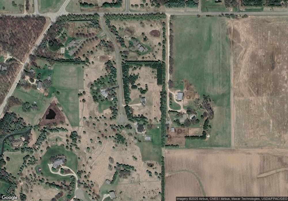
Map
Nearby Homes
- 14810 42nd St S
- 5161 Trading Post Trail S
- 15945 35th St S
- 15955 35th St S
- 3343 Saint Croix Trail S
- 3250 Pennington Ave S
- 14440 59th St S
- 14022 E Oakgreen Cir S
- XXX Glen Cir
- 14868 Panoramic Rd S
- XX L3B2 65th St S
- XX L4B3 65th St S
- XX L1B4 65th St S
- 24x Cove Rd
- 14930 70th St S
- 241A Glen Cir
- 6848 Omar Avenue Ct S
- 264 Saint Annes Pkwy
- 294 Cove Rd
- 315 Lindsay Rd
- 4723 Parsons Ct
- 15489 45th St S
- 4616 Parsons Ct
- 4587 Parsons Ct
- 4504 Parsons Ct
- 4837 Pheasant Ct
- 4760 Pheasant Ct
- 4609 Saint Croix Trail S
- 4885 Pheasant Ct
- 4840 Pheasant Ct
- 4751 Saint Croix Trail S
- 4420 Pateley Bridge Ave S
- 15564 45th St S
- 4608 Saint Croix Trail S
- 15544 45th St S
- 49xx Pheasant Ct S
- 4900 Pheasant Ct
- 4900 Pheasant Ct S
- XXX 45th St S
- 4953 Pheasant Ct