467 Green Acre Cir Howard, OH 43028
Apple Valley NeighborhoodEstimated Value: $1,098,000 - $2,133,000
3
Beds
4
Baths
4,109
Sq Ft
$410/Sq Ft
Est. Value
About This Home
This home is located at 467 Green Acre Cir, Howard, OH 43028 and is currently estimated at $1,684,842, approximately $410 per square foot. 467 Green Acre Cir is a home located in Knox County with nearby schools including East Knox Elementary School and East Knox High School.
Ownership History
Date
Name
Owned For
Owner Type
Purchase Details
Closed on
Feb 16, 2021
Sold by
Raymond Marcia K and Raymond Clifford
Bought by
Ianniello David J and Ianniello Rhonda M
Current Estimated Value
Purchase Details
Closed on
Jan 15, 2004
Sold by
Ianniello David J and Ianniello Rhond
Bought by
Ianniello Rhonda M
Purchase Details
Closed on
Jun 13, 1994
Sold by
Raymond Marcia K
Bought by
Ianniello David J and Ianniello Rhond
Purchase Details
Closed on
Sep 1, 1988
Sold by
Shroder Ronald E and Shroder Cathe
Bought by
Raymond Marcia K
Create a Home Valuation Report for This Property
The Home Valuation Report is an in-depth analysis detailing your home's value as well as a comparison with similar homes in the area
Home Values in the Area
Average Home Value in this Area
Purchase History
| Date | Buyer | Sale Price | Title Company |
|---|---|---|---|
| Ianniello David J | -- | None Available | |
| Ianniello Rhonda M | -- | -- | |
| Ianniello David J | $221,000 | -- | |
| Raymond Marcia K | $152,000 | -- |
Source: Public Records
Tax History Compared to Growth
Tax History
| Year | Tax Paid | Tax Assessment Tax Assessment Total Assessment is a certain percentage of the fair market value that is determined by local assessors to be the total taxable value of land and additions on the property. | Land | Improvement |
|---|---|---|---|---|
| 2024 | $22,228 | $545,980 | $198,080 | $347,900 |
| 2023 | $22,152 | $545,980 | $198,080 | $347,900 |
| 2022 | $17,807 | $376,540 | $136,610 | $239,930 |
| 2021 | $17,807 | $376,540 | $136,610 | $239,930 |
| 2020 | $16,992 | $376,540 | $136,610 | $239,930 |
| 2019 | $7,052 | $250,140 | $83,830 | $166,310 |
| 2018 | $6,498 | $250,140 | $83,830 | $166,310 |
| 2017 | $11,439 | $250,140 | $83,830 | $166,310 |
| 2016 | $10,753 | $231,610 | $77,620 | $153,990 |
| 2015 | $9,801 | $231,610 | $77,620 | $153,990 |
| 2014 | $9,817 | $231,610 | $77,620 | $153,990 |
| 2013 | $9,543 | $214,170 | $58,370 | $155,800 |
Source: Public Records
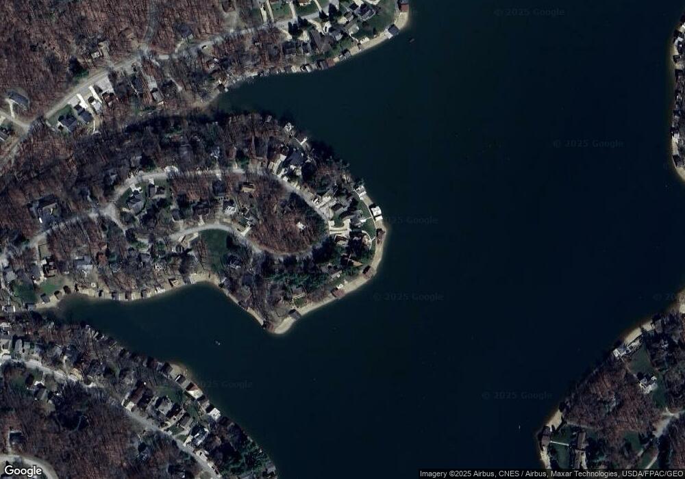
Map
Nearby Homes
- 512 Greenacre Cir
- 535 Green Acre Cir
- 2037 Apple Valley Dr Unit 514, 515
- 3162 Apple Valley Dr
- 2536 Apple Valley Dr
- 2536 Apple Valley Dr Unit Lot 298
- 2100 Apple Valley Dr Unit Lot 63
- 3142 Apple Valley Dr
- 229 Green Valley Dr
- 561 Mcintosh Dr
- 520 Grand Ridge Dr
- 2028 Apple Valley Dr
- 441 Grand Ridge Dr
- 232 Northern Spy Dr
- 544 Grand Ridge Dr
- 657 King Beach Dr
- 564 Grand Ridge Dr
- 529 King Beach Dr
- 520 King Beach Dr
- 629 Mcintosh Dr
- 463 Green Acre Cir
- 463 Greenacre Cir
- 471 Green Acre Cir
- 471 Greenacre Cir
- 476 Green Acre Cir
- 475 Greenacre Cir Unit Lot 29
- 475 Greenacre Cir
- 475 Green Acre Cir
- 459 Greenacre Cir
- 479 Green Acre Cir
- 451 Green Acre Cir
- 451 Green Acre Cir Unit Apple Valley Lake
- 484 Greenacre Cir
- 451 Greenacre Cir Unit Apple Valley Lake
- 451 Greenacre Cir
- 487 Green Acre Cir
- 447 Green Acre Cir
- 491 Greenacre Cir
- 491 Green Acre Cir
- 436 Greenacre Cir