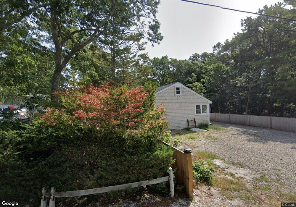
47 Riverside Rd Mashpee, MA 02649
Seconsett Island NeighborhoodEstimated Value: $1,181,000 - $1,957,000
4
Beds
2
Baths
1,801
Sq Ft
$818/Sq Ft
Est. Value
About This Home
This home is located at 47 Riverside Rd, Mashpee, MA 02649 and is currently estimated at $1,473,848, approximately $818 per square foot. 47 Riverside Rd is a home located in Barnstable County with nearby schools including Kenneth C. Coombs School, Quashnet School, and Mashpee Middle School.
Ownership History
Date
Name
Owned For
Owner Type
Purchase Details
Closed on
Jan 28, 2000
Sold by
Omalley-Keyes M
Bought by
Bohnenberger Kris and Bohnenberger Bernice
Current Estimated Value
Home Financials for this Owner
Home Financials are based on the most recent Mortgage that was taken out on this home.
Original Mortgage
$378,300
Interest Rate
7.83%
Mortgage Type
Purchase Money Mortgage
Purchase Details
Closed on
Oct 23, 1998
Sold by
Jenkins Cornelius W
Bought by
Jacobsen Ann Lea
Create a Home Valuation Report for This Property
The Home Valuation Report is an in-depth analysis detailing your home's value as well as a comparison with similar homes in the area
Home Values in the Area
Average Home Value in this Area
Purchase History
| Date | Buyer | Sale Price | Title Company |
|---|---|---|---|
| Bohnenberger Kris | $445,000 | -- | |
| Jacobsen Ann Lea | $123,750 | -- |
Source: Public Records
Mortgage History
| Date | Status | Borrower | Loan Amount |
|---|---|---|---|
| Open | Jacobsen Ann Lea | $372,000 | |
| Closed | Jacobsen Ann Lea | $372,000 | |
| Closed | Jacobsen Ann Lea | $378,300 |
Source: Public Records
Tax History Compared to Growth
Tax History
| Year | Tax Paid | Tax Assessment Tax Assessment Total Assessment is a certain percentage of the fair market value that is determined by local assessors to be the total taxable value of land and additions on the property. | Land | Improvement |
|---|---|---|---|---|
| 2025 | $9,018 | $1,362,200 | $901,100 | $461,100 |
| 2024 | $8,095 | $1,258,900 | $819,300 | $439,600 |
| 2023 | $8,047 | $1,148,000 | $780,100 | $367,900 |
| 2022 | $6,837 | $836,800 | $528,600 | $308,200 |
| 2021 | $6,816 | $751,500 | $476,100 | $275,400 |
| 2020 | $6,589 | $724,900 | $457,900 | $267,000 |
| 2019 | $6,426 | $710,100 | $457,900 | $252,200 |
| 2018 | $6,485 | $727,000 | $488,400 | $238,600 |
| 2017 | $5,957 | $648,200 | $427,400 | $220,800 |
| 2016 | $5,700 | $616,900 | $409,100 | $207,800 |
| 2015 | $5,554 | $609,700 | $409,100 | $200,600 |
| 2014 | $5,658 | $602,600 | $402,000 | $200,600 |
Source: Public Records
Map
Nearby Homes
- 12 Mizzenmast
- 50 Topping Lift
- 183 Monomoscoy Rd
- 43 Neshobe Rd
- 9 Point Rd
- 5 Tide Run
- 381 Great Oak Rd Unit 9
- 59 Mashie Cir
- 3 Niblick Ln
- 72 Walton Heath Way
- 51 Walton Heath Way
- 240 Surf Dr
- 42 Overlook Cir
- 16 Slice Way
- 61 Wintergreen Rd
- 4 Bigelow Lndg Rd
- 5 Bigelow Lndg Rd
- 224 Waquoit Hwy
- 7 Blue Fin
- 36 Carriage Shop Rd
- 49-A&B Riverside Rd
- 45 Riverside Rd
- 43 Riverside Rd
- 49 Riverside Rd
- 49 Riverside Rd Unit 2
- 49 Riverside Rd Unit 1-2
- 55 Riverside Rd
- 55 and 61 Riverside Rd
- 41 Riverside Rd
- 61 Riverside Rd
- 33 Riverside Rd
- 44 Riverside Rd
- 63 Riverside Rd
- 29 Riverside Rd
- 67 Riverside Rd
- 60 Riverside Rd
- 25 Riverside Rd
- 62 Riverside Rd
- 42 Riverside Rd
- 39 Hamblin Rd