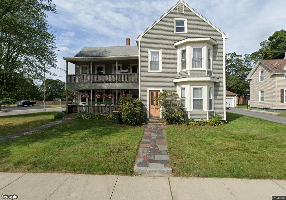
47 West St Franklin, MA 02038
Downtown Franklin NeighborhoodEstimated Value: $610,920 - $790,000
4
Beds
2
Baths
2,670
Sq Ft
$250/Sq Ft
Est. Value
About This Home
This home is located at 47 West St, Franklin, MA 02038 and is currently estimated at $667,980, approximately $250 per square foot. 47 West St is a home located in Norfolk County with nearby schools including Helen Keller Elementary School, Annie Sullivan Middle School, and Franklin High School.
Ownership History
Date
Name
Owned For
Owner Type
Purchase Details
Closed on
Sep 19, 2019
Sold by
Boulanger Anne M
Bought by
Boulanger Paul E and Katno Susan D
Current Estimated Value
Purchase Details
Closed on
Apr 30, 2012
Sold by
Boulanger Paul E
Bought by
Boulanger Anne M
Purchase Details
Closed on
Aug 30, 2010
Sold by
Connolly Barbara A
Bought by
Naples Patricia A and Naples Kevin F
Create a Home Valuation Report for This Property
The Home Valuation Report is an in-depth analysis detailing your home's value as well as a comparison with similar homes in the area
Home Values in the Area
Average Home Value in this Area
Purchase History
| Date | Buyer | Sale Price | Title Company |
|---|---|---|---|
| Boulanger Paul E | -- | -- | |
| Boulanger Anne M | -- | -- | |
| Naples Patricia A | -- | -- |
Source: Public Records
Tax History
| Year | Tax Paid | Tax Assessment Tax Assessment Total Assessment is a certain percentage of the fair market value that is determined by local assessors to be the total taxable value of land and additions on the property. | Land | Improvement |
|---|---|---|---|---|
| 2025 | $6,599 | $567,900 | $243,300 | $324,600 |
| 2024 | $5,807 | $492,500 | $243,300 | $249,200 |
| 2023 | $5,755 | $457,500 | $245,300 | $212,200 |
| 2022 | $5,062 | $360,300 | $202,800 | $157,500 |
| 2021 | $5,281 | $360,500 | $217,200 | $143,300 |
| 2020 | $5,038 | $347,200 | $219,100 | $128,100 |
| 2019 | $4,637 | $316,300 | $198,500 | $117,800 |
| 2018 | $4,285 | $292,500 | $204,100 | $88,400 |
| 2017 | $4,161 | $285,400 | $187,200 | $98,200 |
| 2016 | $3,822 | $263,600 | $184,200 | $79,400 |
| 2015 | $3,769 | $254,000 | $179,600 | $74,400 |
| 2014 | $3,257 | $225,400 | $151,000 | $74,400 |
Source: Public Records
Map
Nearby Homes
- 163 W Central St
- 120 Union St Unit 1
- 88 Crescent St
- 374-378 Union St
- 99 Summer St
- 3 Washington St
- 1 Washington St
- 37 Cross St
- 14 Pleasant St Unit B
- 139 King St Unit 306
- 82 Uncas Ave
- 80 Uncas Ave
- 76 Uncas Ave
- 66 Uncas Ave
- 68 Uncas Ave
- 64 Uncas Ave
- 62 Uncas Ave
- 60 Uncas Ave
- 30 Longobardi Dr Unit 30
- 17 Longhill Rd
- 39 West St
- 39 West St Unit 2
- 17 Nason St
- 59 West St
- 59 West St Unit 2
- 48 West St
- 56 West St
- 34 West St
- 34 West St Unit 34
- 34 West St Unit 2
- 32 West St
- 32 West St Unit 32
- 32 West St Unit 32,32
- 67 West St
- 67 West St Unit 2
- 25 Nason St
- 28 Church Ave Unit 1
- 28 Church Ave Unit 2
- 11 Walnut Ave
- 12 Walnut Ave
Your Personal Tour Guide
Ask me questions while you tour the home.