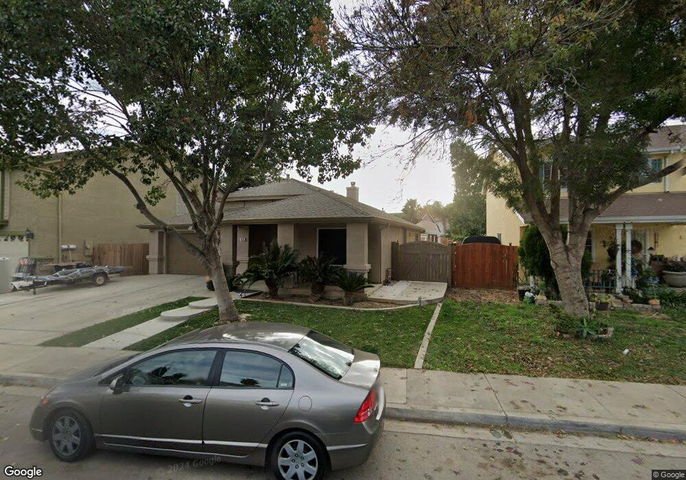
473 Red Robin Dr Patterson, CA 95363
Estimated Value: $410,000 - $469,000
4
Beds
2
Baths
1,773
Sq Ft
$254/Sq Ft
Est. Value
About This Home
This home is located at 473 Red Robin Dr, Patterson, CA 95363 and is currently estimated at $450,489, approximately $254 per square foot. 473 Red Robin Dr is a home located in Stanislaus County with nearby schools including Northmead Elementary School, Creekside Middle School, and Patterson High School.
Ownership History
Date
Name
Owned For
Owner Type
Purchase Details
Closed on
Apr 4, 2020
Sold by
Raney David Wayne and Raney Josephine Venture
Bought by
Raney David Wayne and Raney Josephine Ventura
Current Estimated Value
Home Financials for this Owner
Home Financials are based on the most recent Mortgage that was taken out on this home.
Original Mortgage
$181,688
Outstanding Balance
$160,294
Interest Rate
3.3%
Mortgage Type
VA
Estimated Equity
$290,195
Purchase Details
Closed on
Jul 5, 2016
Sold by
Raney David W and Raney Josephine V
Bought by
The Raney Family 2016 Revocable Living T
Purchase Details
Closed on
May 8, 1998
Sold by
Kaufman & Broad Central Valley Inc
Bought by
Raney David W and Raney Josephine V
Home Financials for this Owner
Home Financials are based on the most recent Mortgage that was taken out on this home.
Original Mortgage
$130,411
Interest Rate
7.13%
Mortgage Type
VA
Create a Home Valuation Report for This Property
The Home Valuation Report is an in-depth analysis detailing your home's value as well as a comparison with similar homes in the area
Home Values in the Area
Average Home Value in this Area
Purchase History
| Date | Buyer | Sale Price | Title Company |
|---|---|---|---|
| Raney David Wayne | -- | Amrock Inc | |
| Raney David Wayne | -- | Amrock Inc | |
| The Raney Family 2016 Revocable Living T | -- | None Available | |
| Raney David W | $128,000 | First American Title Ins Co |
Source: Public Records
Mortgage History
| Date | Status | Borrower | Loan Amount |
|---|---|---|---|
| Open | Raney David Wayne | $181,688 | |
| Closed | Raney David W | $130,411 |
Source: Public Records
Tax History
| Year | Tax Paid | Tax Assessment Tax Assessment Total Assessment is a certain percentage of the fair market value that is determined by local assessors to be the total taxable value of land and additions on the property. | Land | Improvement |
|---|---|---|---|---|
| 2025 | $2,577 | $206,530 | $39,907 | $166,623 |
| 2024 | $2,563 | $202,481 | $39,125 | $163,356 |
| 2023 | $2,505 | $198,511 | $38,358 | $160,153 |
| 2022 | $3,001 | $194,619 | $37,606 | $157,013 |
| 2021 | $2,937 | $188,804 | $36,869 | $151,935 |
| 2020 | $2,920 | $186,869 | $36,491 | $150,378 |
| 2019 | $2,878 | $183,206 | $35,776 | $147,430 |
| 2018 | $2,772 | $179,615 | $35,075 | $144,540 |
| 2017 | $2,716 | $176,094 | $34,388 | $141,706 |
| 2016 | $2,647 | $172,642 | $33,714 | $138,928 |
| 2015 | $2,639 | $170,050 | $33,208 | $136,842 |
| 2014 | $2,574 | $166,720 | $32,558 | $134,162 |
Source: Public Records
Map
Nearby Homes
- 408 Peregrine Dr
- 216 Barros St
- 445 M St
- 1314 Sutter Creek Ct
- 432 Meadow Creek Dr
- 312 Roxanne Dr
- 701 N 3rd St
- 15707 S 9th St
- 1129 Imperial Lily Dr
- 140 Ivy Ave Unit A5
- 140 Ivy Ave Unit 39
- 1407 Dylan Creek Dr
- 855 Toyon Ln
- 849 Miraggio Dr
- 1419 Nubian St
- 1459 Mesa Creek Dr
- 158 Charbray Ct
- 126 Jersey Ln
- 612 Beck Creek Ln
- 708 Bonneau Ct
- 477 Red Robin Dr
- 469 Red Robin Dr
- 481 Red Robin Dr
- 1025 Goldfinch Ln
- 1021 Goldfinch Ln
- 464 Thrush Dr
- 460 Thrush Dr
- 1029 Goldfinch Ln
- 1017 Goldfinch Ln
- 468 Thrush Dr
- 472 Red Robin Dr
- 468 Red Robin Dr
- 476 Red Robin Dr
- 1033 Goldfinch Ln
- 464 Red Robin Dr
- 480 Red Robin Dr
- 460 Red Robin Dr
- 1037 Goldfinch Ln
- 456 Red Robin Dr
- 1024 Goldfinch Ln
Your Personal Tour Guide
Ask me questions while you tour the home.