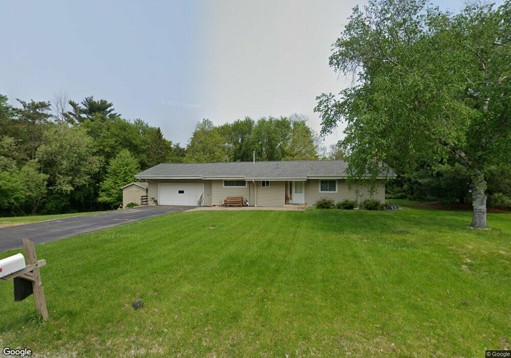
4737 Eriks Blvd Saint Paul, MN 55122
Estimated Value: $311,000 - $398,000
3
Beds
1
Bath
1,168
Sq Ft
$301/Sq Ft
Est. Value
About This Home
This home is located at 4737 Eriks Blvd, Saint Paul, MN 55122 and is currently estimated at $352,074, approximately $301 per square foot. 4737 Eriks Blvd is a home located in Dakota County with nearby schools including Thomas Lake Elementary School, Black Hawk Middle School, and Eastview Senior High School.
Ownership History
Date
Name
Owned For
Owner Type
Purchase Details
Closed on
Apr 23, 1998
Sold by
Koesnner Arthur J F
Bought by
Kenning Ronald and Kenning Karla
Current Estimated Value
Purchase Details
Closed on
Dec 12, 1997
Sold by
Koestner Arthur J F
Bought by
Kenning Ronald F and Kenning Karla M
Create a Home Valuation Report for This Property
The Home Valuation Report is an in-depth analysis detailing your home's value as well as a comparison with similar homes in the area
Home Values in the Area
Average Home Value in this Area
Purchase History
| Date | Buyer | Sale Price | Title Company |
|---|---|---|---|
| Kenning Ronald | $79,000 | -- | |
| Kenning Ronald F | $79,000 | -- | |
| Kenning Ronald F | $79,000 | -- |
Source: Public Records
Mortgage History
| Date | Status | Borrower | Loan Amount |
|---|---|---|---|
| Closed | Kenning Ronald F | -- |
Source: Public Records
Tax History Compared to Growth
Tax History
| Year | Tax Paid | Tax Assessment Tax Assessment Total Assessment is a certain percentage of the fair market value that is determined by local assessors to be the total taxable value of land and additions on the property. | Land | Improvement |
|---|---|---|---|---|
| 2024 | $3,320 | $310,300 | $103,000 | $207,300 |
| 2023 | $3,320 | $312,300 | $103,300 | $209,000 |
| 2022 | $2,768 | $302,800 | $103,000 | $199,800 |
| 2021 | $2,630 | $256,500 | $89,600 | $166,900 |
| 2020 | $2,508 | $239,500 | $85,300 | $154,200 |
| 2019 | $2,103 | $223,700 | $81,300 | $142,400 |
| 2018 | $2,111 | $201,500 | $77,400 | $124,100 |
| 2017 | $2,053 | $196,400 | $73,700 | $122,700 |
| 2016 | $1,923 | $184,100 | $70,200 | $113,900 |
| 2015 | $1,826 | $151,221 | $61,398 | $89,823 |
| 2014 | -- | $145,880 | $59,307 | $86,573 |
| 2013 | -- | $131,165 | $52,636 | $78,529 |
Source: Public Records
Map
Nearby Homes
- XXXX Eriks Blvd
- 4731 Walden Dr
- 4628 Pinetree Curve
- 1338 Ches Mar Ln
- 4633 Stonecliffe Dr
- 1517 Covington Ln
- 1276 Dunberry Ln
- 1384 Amaryllis Ln
- 4357 Garden Trail
- 1655 Walnut Ln
- 1281 Carlson Lake Ln
- 4646 1/2 Penkwe Way
- 4552 Cliff Ridge Ct
- 1676 Hickory Ln
- 4281 Svensk Ln N
- 4677 Ridge Cliff Dr
- 4681 Ridge Cliff Dr
- 1610 Clemson Dr
- 4765 Penkwe Cir
- 4593 Maple Leaf Cir
- 4765 Pilot Knob Rd
- 1454 Richards Ct
- 4774 Eriks Blvd
- 4765 Eriks Blvd
- 1450 Richards Ct
- 1400 Camelback Dr
- 4640 Pilot Knob Rd
- 4650 Pilot Knob Rd
- 4775 Eriks Blvd
- 1458 Richards Ct
- 1397 Camelback Dr
- 4605 Pilot Knob Rd
- 4660 Pilot Knob Rd
- 1415 Dolores Ln
- 1393 Camelback Dr
- 1347 Saint Andrew Blvd
- 1351 Saint Andrew Blvd
- 1462 Richards Ct
- 1453 Richards Ct
- 4785 Eriks Blvd