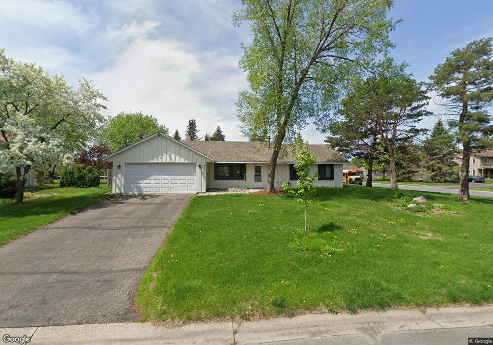
4741 Hauge Cir Saint Paul, MN 55122
Estimated Value: $343,000 - $410,000
3
Beds
2
Baths
1,384
Sq Ft
$275/Sq Ft
Est. Value
About This Home
This home is located at 4741 Hauge Cir, Saint Paul, MN 55122 and is currently estimated at $381,234, approximately $275 per square foot. 4741 Hauge Cir is a home located in Dakota County with nearby schools including Thomas Lake Elementary School, Black Hawk Middle School, and Eastview Senior High School.
Ownership History
Date
Name
Owned For
Owner Type
Purchase Details
Closed on
Aug 20, 2018
Sold by
Imgrund David J and Imgrund Robert E
Bought by
Stafford Mitchell James
Current Estimated Value
Home Financials for this Owner
Home Financials are based on the most recent Mortgage that was taken out on this home.
Original Mortgage
$225,040
Outstanding Balance
$195,438
Interest Rate
4.5%
Mortgage Type
New Conventional
Estimated Equity
$185,796
Create a Home Valuation Report for This Property
The Home Valuation Report is an in-depth analysis detailing your home's value as well as a comparison with similar homes in the area
Home Values in the Area
Average Home Value in this Area
Purchase History
| Date | Buyer | Sale Price | Title Company |
|---|---|---|---|
| Stafford Mitchell James | $232,000 | At Home Title Llc |
Source: Public Records
Mortgage History
| Date | Status | Borrower | Loan Amount |
|---|---|---|---|
| Open | Stafford Mitchell James | $225,040 |
Source: Public Records
Tax History Compared to Growth
Tax History
| Year | Tax Paid | Tax Assessment Tax Assessment Total Assessment is a certain percentage of the fair market value that is determined by local assessors to be the total taxable value of land and additions on the property. | Land | Improvement |
|---|---|---|---|---|
| 2024 | $3,640 | $353,600 | $119,600 | $234,000 |
| 2023 | $3,640 | $339,900 | $120,000 | $219,900 |
| 2022 | $3,144 | $327,000 | $119,700 | $207,300 |
| 2021 | $3,062 | $287,700 | $104,100 | $183,600 |
| 2020 | $2,964 | $274,600 | $99,100 | $175,500 |
| 2019 | $2,533 | $259,900 | $94,400 | $165,500 |
| 2018 | $2,440 | $237,300 | $78,200 | $159,100 |
| 2017 | $2,441 | $222,900 | $74,500 | $148,400 |
| 2016 | $2,354 | $213,800 | $70,900 | $142,900 |
| 2015 | $2,232 | $186,864 | $64,439 | $122,425 |
| 2014 | -- | $180,106 | $62,324 | $117,782 |
| 2013 | -- | $163,429 | $55,571 | $107,858 |
Source: Public Records
Map
Nearby Homes
- 4681 Ridge Cliff Dr
- 4765 Penkwe Cir
- 4677 Ridge Cliff Dr
- 1761 Karis Way
- 4679 Sorrel Point
- 1719 Nokia Way
- 4646 1/2 Penkwe Way
- 4694 Lenore Ln
- 4682 Lenore Ln
- 4714 Lenore Ln
- 1743 Galaxie Ct
- 1655 Walnut Ln
- 1676 Hickory Ln
- 1778 Walnut Ln
- 4633 Stonecliffe Dr
- 4401 Clover Ln Unit B
- 1517 Covington Ln
- 4411 Clover Ln Unit A
- 4418 Clover Ln Unit B
- 4628 Pinetree Curve
- 4747 Hauge Cir
- 4724 Lund Point
- 4725 Anne Point
- 4725 Lund Point
- 4753 Hauge Cir
- 4724 Tana Point
- 4724 Anne Point
- 4740 Hauge Cir
- 4746 Hauge Cir
- 4722 Lund Point
- 4723 Lund Point
- 4723 Anne Point
- 4725 Sunne Point
- 4725 Tana Point
- 4722 Tana Point
- 4759 Hauge Cir
- 4722 Anne Point
- 4752 Hauge Cir
- 1740 Karis Way
- 4723 Tana Point