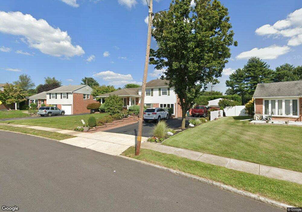
479 Wesley Rd Springfield, PA 19064
Estimated Value: $565,000 - $609,000
3
Beds
3
Baths
2,046
Sq Ft
$287/Sq Ft
Est. Value
About This Home
This home is located at 479 Wesley Rd, Springfield, PA 19064 and is currently estimated at $586,286, approximately $286 per square foot. 479 Wesley Rd is a home located in Delaware County with nearby schools including Springfield High School, St Francis Of Assisi School, and Cardinal O'Hara High School.
Ownership History
Date
Name
Owned For
Owner Type
Purchase Details
Closed on
Oct 18, 2007
Sold by
Kelso Joseph J and Kelso Christopher J
Bought by
Cerino Joseph A and Cerino Annette
Current Estimated Value
Purchase Details
Closed on
May 31, 2006
Sold by
Kelso Joseph J
Bought by
Kelso Joseph J and Kelso Christopher J
Home Financials for this Owner
Home Financials are based on the most recent Mortgage that was taken out on this home.
Original Mortgage
$324,000
Interest Rate
6.62%
Mortgage Type
Stand Alone Refi Refinance Of Original Loan
Purchase Details
Closed on
Sep 1, 1998
Sold by
Kelso Joseph J and Kelso Jacqueline J
Bought by
Kelso Joseph J
Create a Home Valuation Report for This Property
The Home Valuation Report is an in-depth analysis detailing your home's value as well as a comparison with similar homes in the area
Home Values in the Area
Average Home Value in this Area
Purchase History
| Date | Buyer | Sale Price | Title Company |
|---|---|---|---|
| Cerino Joseph A | $380,000 | None Available | |
| Kelso Joseph J | -- | Commonwealth Land Title Insu | |
| Kelso Joseph J | -- | T A Title Insurance Company |
Source: Public Records
Mortgage History
| Date | Status | Borrower | Loan Amount |
|---|---|---|---|
| Previous Owner | Kelso Joseph J | $324,000 |
Source: Public Records
Tax History Compared to Growth
Tax History
| Year | Tax Paid | Tax Assessment Tax Assessment Total Assessment is a certain percentage of the fair market value that is determined by local assessors to be the total taxable value of land and additions on the property. | Land | Improvement |
|---|---|---|---|---|
| 2025 | $8,453 | $300,760 | $119,240 | $181,520 |
| 2024 | $8,453 | $300,760 | $119,240 | $181,520 |
| 2023 | $8,140 | $300,760 | $119,240 | $181,520 |
| 2022 | $7,964 | $300,760 | $119,240 | $181,520 |
| 2021 | $12,333 | $300,760 | $119,240 | $181,520 |
| 2020 | $7,961 | $175,680 | $57,320 | $118,360 |
| 2019 | $7,774 | $175,680 | $57,320 | $118,360 |
| 2018 | $7,663 | $175,680 | $0 | $0 |
| 2017 | $7,485 | $175,680 | $0 | $0 |
| 2016 | $964 | $175,680 | $0 | $0 |
| 2015 | $984 | $175,680 | $0 | $0 |
| 2014 | $984 | $175,680 | $0 | $0 |
Source: Public Records
Map
Nearby Homes
- 457 Kennerly Rd
- 341 Kennerly Rd
- 517 W Woodland Ave
- 499 Collins Dr
- 1366 Nicklaus Dr Unit O125
- 364 S Rolling Rd
- 746 Kelli Ln
- 773 Beatty View Rd
- 464 Conard Dr
- 232 S Highland Rd
- 247 Orchard Rd
- 201 S Highland Rd
- 15 Pearson Dr
- 326 Powell Rd
- 603 Beatty Rd
- 251 Powell Rd
- 509 Beatty Rd
- 89 Saxer Ave
- 240 Beechwood Rd
- 2605 Red Oak Cir