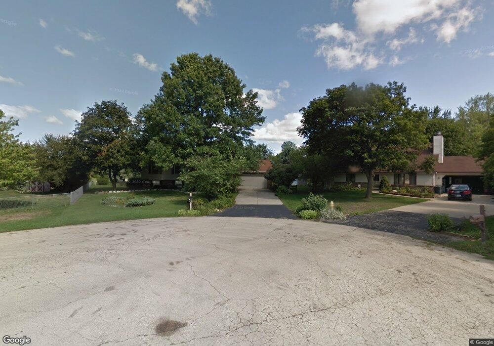
4794 Crown Point Rd Roscoe, IL 61073
Rockton AreaEstimated Value: $260,637 - $282,000
About This Home
This home is located at 4794 Crown Point Rd, Roscoe, IL 61073 and is currently estimated at $272,409, approximately $202 per square foot. 4794 Crown Point Rd is a home located in Winnebago County with nearby schools including Ledgewood Elementary School, Kinnikinnick School, and Stone Creek School.
Ownership History
We collect this data history from publicly available records. To have your information removed, we recommend requesting removal directly through your county’s website.
Purchase Details
Home Financials for this Owner
Home Financials are based on the most recent Mortgage that was taken out on this home.Home Values in the Area
Average Home Value in this Area
Purchase History
We collect this data history from publicly available records. To have your information removed, we recommend requesting removal directly through your county’s website.
| Date | Buyer | Sale Price | Title Company |
|---|---|---|---|
| $162,000 | None Listed On Document |
Mortgage History
We collect this data history from publicly available records. To have your information removed, we recommend requesting removal directly through your county’s website.
| Date | Status | Borrower | Loan Amount |
|---|---|---|---|
| Open | $151,500 | ||
| Closed | $151,500 | ||
| Closed | $153,900 | ||
| Previous Owner | $80,000 |
Tax History
We collect this data history from publicly available records. To have your information removed, we recommend requesting removal directly through your county’s website.
| Year | Tax Paid | Tax Assessment Tax Assessment Total Assessment is a certain percentage of the fair market value that is determined by local assessors to be the total taxable value of land and additions on the property. | Land | Improvement |
|---|---|---|---|---|
| 2024 | $4,987 | $66,467 | $12,654 | $53,813 |
| 2023 | $4,612 | $59,649 | $11,356 | $48,293 |
| 2022 | $4,379 | $54,529 | $10,381 | $44,148 |
| 2021 | $4,168 | $51,225 | $9,752 | $41,473 |
| 2020 | $4,082 | $49,364 | $9,398 | $39,966 |
| 2019 | $3,481 | $47,153 | $8,977 | $38,176 |
| 2018 | $3,221 | $45,309 | $8,626 | $36,683 |
| 2017 | $3,317 | $43,701 | $8,320 | $35,381 |
| 2016 | $3,169 | $43,001 | $8,187 | $34,814 |
| 2015 | $3,259 | $41,773 | $7,953 | $33,820 |
| 2014 | $3,228 | $41,245 | $7,852 | $33,393 |
Map
- 11515 Cedarbrook Rd
- 10458 Main St
- 11702 Parkway Dr Unit 11708
- 11202 Downing Ln
- 4463 Adele St
- 5635 Andrews Dr
- 11602 Bend River Rd
- 3941 Joan Dr
- 12222 Rae Ann Rd
- 3620 Valerie Rd
- 5828 Fry Dr
- 12104 Joncey Dr
- 10444 Rock Ln
- 771 Calenoula St
- 5939 Chestnut St
- 12784 Bridgeport Ln
- 10589 Harrison Ct
- 6226 Hathaway Trail
- 4802 Pipers Way
- 158 Quantico Dr
- 4818 Crown Point Rd
- 4802 Crown Point Cir
- 4862 Crown Point Rd
- 4794 Crown Point Cir
- 4855 Rollingsford Ln
- 4830 Crown Point Rd
- 4886 Crown Point Rd
- 4837 Rollingsford Ln
- 4782 Crown Point Rd
- 4873 Rollingsford Ln
- 4817 Rollingsford Ln
- 4825 Crown Point Rd
- 4843 Crown Point Rd
- 4803 Crown Point Rd
- 4738 Crown Point Rd
- 4865 Crown Point Rd
- 11536 Wild Deer Trail
- 4779 Crown Point Rd
- 11558 Wild Deer Trail
- 4912 Crown Point Rd
Ask me questions while you tour the home.