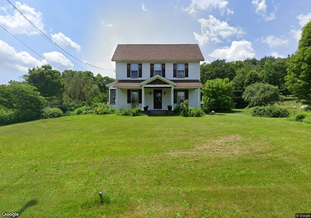
48 S County Rd Leyden, MA 01301
Leyden NeighborhoodEstimated Value: $502,000 - $605,000
5
Beds
4
Baths
3,669
Sq Ft
$152/Sq Ft
Est. Value
About This Home
This home is located at 48 S County Rd, Leyden, MA 01301 and is currently estimated at $558,685, approximately $152 per square foot. 48 S County Rd is a home located in Franklin County with nearby schools including Pioneer Valley Regional.
Ownership History
Date
Name
Owned For
Owner Type
Purchase Details
Closed on
Mar 11, 2004
Sold by
Maloney Daniel L
Bought by
Maloney Daniel L and Michael Frees R
Current Estimated Value
Purchase Details
Closed on
Aug 23, 2000
Sold by
Metelica Ephraim
Bought by
Maloney Daniel
Home Financials for this Owner
Home Financials are based on the most recent Mortgage that was taken out on this home.
Original Mortgage
$100,000
Interest Rate
8.06%
Mortgage Type
Purchase Money Mortgage
Create a Home Valuation Report for This Property
The Home Valuation Report is an in-depth analysis detailing your home's value as well as a comparison with similar homes in the area
Home Values in the Area
Average Home Value in this Area
Purchase History
| Date | Buyer | Sale Price | Title Company |
|---|---|---|---|
| Maloney Daniel L | -- | -- | |
| Maloney Daniel | $170,000 | -- |
Source: Public Records
Mortgage History
| Date | Status | Borrower | Loan Amount |
|---|---|---|---|
| Previous Owner | Maloney Daniel | $100,000 |
Source: Public Records
Tax History
| Year | Tax Paid | Tax Assessment Tax Assessment Total Assessment is a certain percentage of the fair market value that is determined by local assessors to be the total taxable value of land and additions on the property. | Land | Improvement |
|---|---|---|---|---|
| 2025 | $75 | $492,700 | $116,900 | $375,800 |
| 2024 | $7,158 | $479,100 | $116,900 | $362,200 |
| 2023 | $6,980 | $459,800 | $114,000 | $345,800 |
| 2022 | $6,696 | $414,900 | $103,900 | $311,000 |
| 2021 | $6,644 | $398,100 | $103,900 | $294,200 |
| 2020 | $6,439 | $372,000 | $98,600 | $273,400 |
| 2019 | $89 | $356,500 | $95,600 | $260,900 |
| 2018 | $6,057 | $356,500 | $95,600 | $260,900 |
| 2015 | $5,852 | $340,800 | $94,800 | $246,000 |
Source: Public Records
Map
Nearby Homes
- 34 Brookside Ave
- 71 George Lamb Rd
- 539 Fox Hill Rd
- 151 Smead Hill Rd
- Lot 9 Fox Hill Rd (Off)
- 75 South St Unit 3
- 187 Plain Rd
- 0 Fox Hill Rd Unit 73477185
- 6 Burrows Turnpike Rd
- 47 Cross St
- 4 Pickett Ln
- 6 Pickett Ln
- 23 Industrial Dr
- 1 Northfield Rd
- 56 Brattleboro Rd
- 696 Bernardston Rd
- 132 Poplar St
- 001 Adams Rd
- 90 Bald Mountain Rd
- 37 Cleveland St
- 32 S County Rd
- 32 S County Rd Unit 1
- 333 Greenfield Rd
- 00034 Greenfield Rd
- 24 S County Rd
- 72 S County Rd
- 72 Greenfield Rd
- 301 Greenfield Rd
- 0 S County Rd
- 9 Lois Ln
- 84 S County Rd
- 79 S Schoolhouse Rd
- 2 S County Rd
- 95 S County Rd
- 53 S Schoolhouse Rd
- 418 Greenfield Rd
- 4 Glen Rd
- Lot 37 Lois Ln
- Lot 34 Lois Ln
- 101 S Schoolhouse Rd
Your Personal Tour Guide
Ask me questions while you tour the home.