4802 Independence Dr Unit 4802 Bradenton, FL 34210
Estimated Value: $179,000 - $275,000
2
Beds
2
Baths
1,496
Sq Ft
$155/Sq Ft
Est. Value
About This Home
This home is located at 4802 Independence Dr Unit 4802, Bradenton, FL 34210 and is currently estimated at $231,857, approximately $154 per square foot. 4802 Independence Dr Unit 4802 is a home located in Manatee County with nearby schools including Sea Breeze Elementary School, W. D. Sugg Middle School, and Bayshore High School.
Ownership History
Date
Name
Owned For
Owner Type
Purchase Details
Closed on
Feb 15, 2017
Sold by
White Lauren A and White Joanette M
Bought by
Calaski Robert G and Calaski Janice W
Current Estimated Value
Purchase Details
Closed on
Jul 21, 2004
Sold by
Griesbach Norma M and Griesbach Donald
Bought by
White Lauren A and White Joanette M
Purchase Details
Closed on
Jun 30, 2000
Sold by
Morgan James V and Morgan Sandra E
Bought by
Griesbach Donald and Griesbach Norma M
Create a Home Valuation Report for This Property
The Home Valuation Report is an in-depth analysis detailing your home's value as well as a comparison with similar homes in the area
Home Values in the Area
Average Home Value in this Area
Purchase History
| Date | Buyer | Sale Price | Title Company |
|---|---|---|---|
| Calaski Robert G | $155,000 | Barnes Walker Title Inc | |
| White Lauren A | $170,000 | Manatee Pinellas Title | |
| Griesbach Donald | $76,000 | -- |
Source: Public Records
Tax History Compared to Growth
Tax History
| Year | Tax Paid | Tax Assessment Tax Assessment Total Assessment is a certain percentage of the fair market value that is determined by local assessors to be the total taxable value of land and additions on the property. | Land | Improvement |
|---|---|---|---|---|
| 2025 | $3,190 | $187,000 | -- | $187,000 |
| 2024 | $3,190 | $233,750 | -- | $233,750 |
| 2023 | $3,217 | $250,750 | $0 | $250,750 |
| 2022 | $2,712 | $189,000 | $0 | $189,000 |
| 2021 | $2,320 | $150,000 | $0 | $150,000 |
| 2020 | $2,338 | $144,000 | $0 | $144,000 |
| 2019 | $2,313 | $141,000 | $0 | $141,000 |
| 2018 | $2,161 | $129,000 | $0 | $0 |
| 2017 | $2,177 | $137,250 | $0 | $0 |
| 2016 | $2,107 | $129,500 | $0 | $0 |
| 2015 | $2,036 | $125,600 | $0 | $0 |
| 2014 | $2,036 | $125,665 | $0 | $0 |
| 2013 | $1,864 | $110,542 | $37,194 | $73,348 |
Source: Public Records
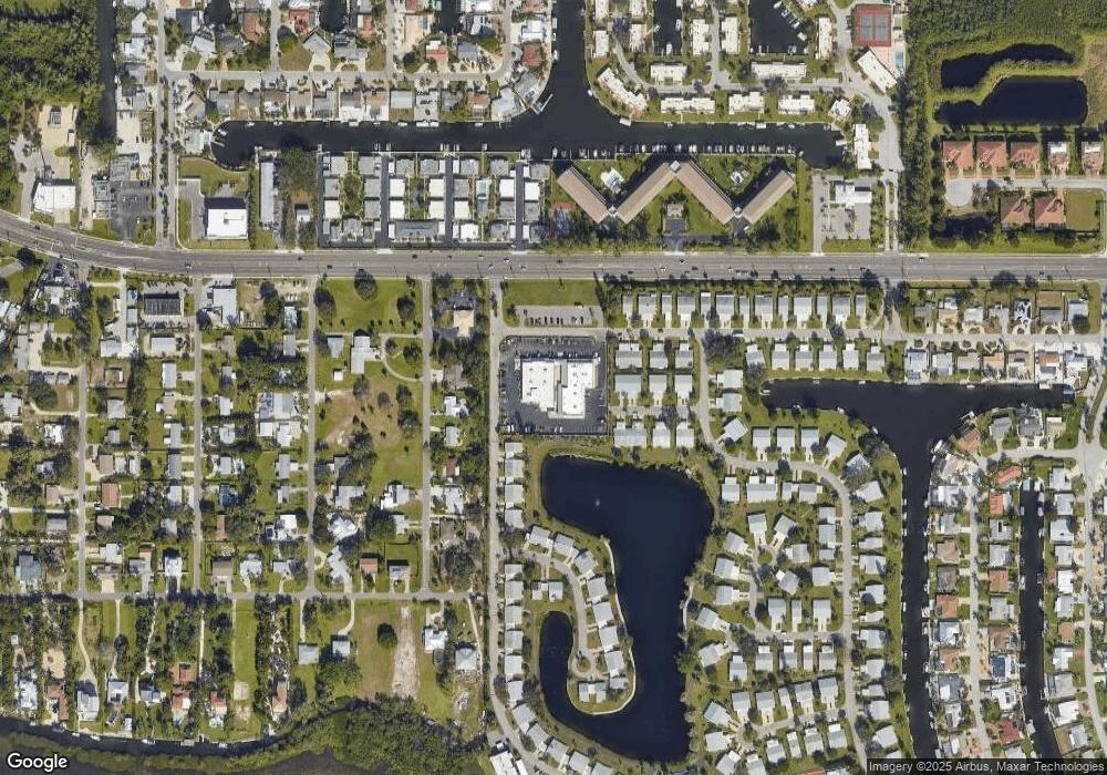
Map
Nearby Homes
- 4745 Independence Dr Unit 4745
- 4809 Independence Dr Unit 4809
- 4852 Independence Dr Unit 4852
- 4832 Independence Dr Unit 4832
- 4753 Independence Dr
- 4736 Independence Dr Unit 4736
- 4721 Mount Vernon Dr Unit 4721
- 9421 Andover Cir
- 4722 Independence Dr Unit 4722
- 9412 Concord Cir
- 4607 Bimini Dr
- 4821 Mount Vernon Dr Unit 4821
- 4414 Mount Vernon Dr Unit 1
- 5207 Bimini Dr
- 4411 Mount Vernon Dr Unit 4411
- 9512 Colonial Dr Unit 9512
- 9207 Bimini Dr
- 9509 Kingston Dr Unit 9509
- 5011 Mangrove Point Rd
- 10216 46th Ave W
- 4801 Independence Dr
- 4801 Independence Dr Unit 4801
- 4800 Independence Dr Unit 4800
- 4800 Independence Dr
- 4813 Independence Dr
- 4812 Independence Dr Unit 4812
- 4814 Independence Dr Unit 4814
- 4803 Independence Dr Unit 4803
- 4815 Independence Dr
- 4815 Independence Dr Unit 4815
- 4799 Independence Dr
- 4804 Independence Dr
- 4816 Independence Dr
- 4793 Independence Dr Unit 4793
- 4798 Independence Dr Unit 4798
- 4805 Independence Dr Unit 4805
- 4817 Independence Dr Unit 4817
- 4792 Independence Dr Unit 4792
- 4797 Independence Dr Unit 4797
- 4791 Independence Dr