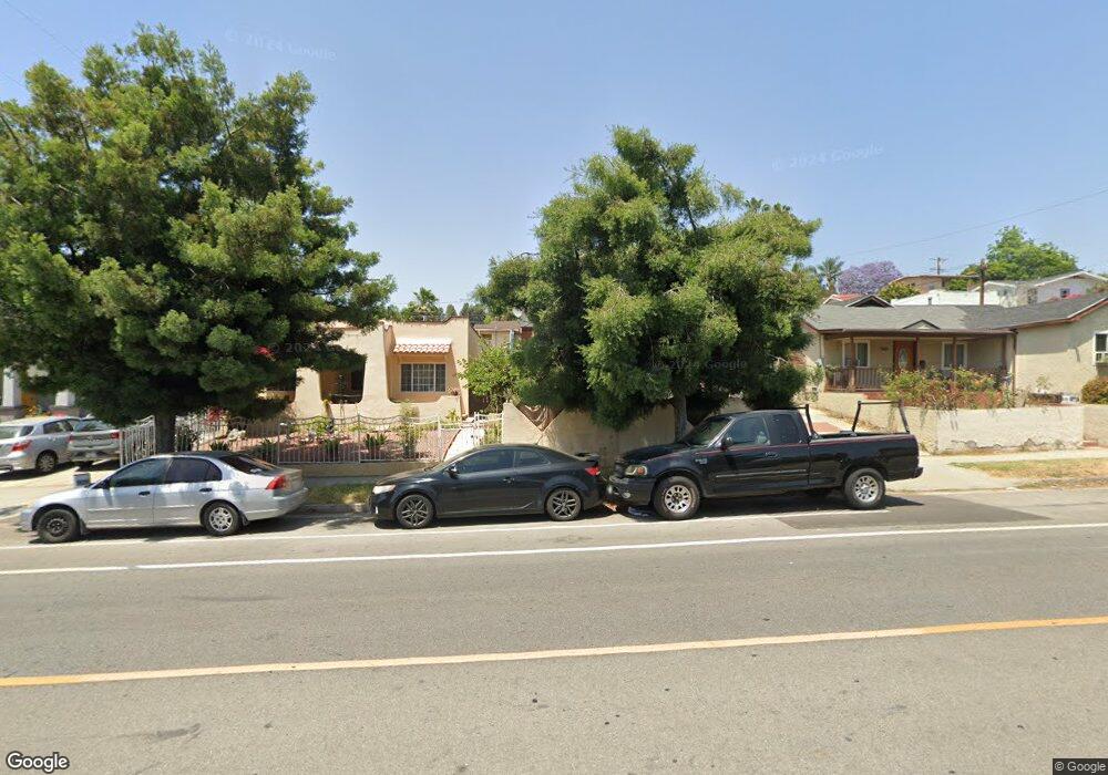
4817 York Blvd Los Angeles, CA 90042
Eagle Rock NeighborhoodEstimated Value: $884,800 - $1,006,000
2
Beds
1
Bath
805
Sq Ft
$1,188/Sq Ft
Est. Value
About This Home
This home is located at 4817 York Blvd, Los Angeles, CA 90042 and is currently estimated at $956,700, approximately $1,188 per square foot. 4817 York Blvd is a home located in Los Angeles County with nearby schools including Toland Way Elementary School, Eagle Rock High School, and Irving STEAM Magnet School.
Ownership History
Date
Name
Owned For
Owner Type
Purchase Details
Closed on
Dec 18, 2003
Sold by
Martinez Eduviges
Bought by
Romero Miguel
Current Estimated Value
Purchase Details
Closed on
Dec 27, 1993
Sold by
Martinez Fernando E
Bought by
Martinez Eduviges
Home Financials for this Owner
Home Financials are based on the most recent Mortgage that was taken out on this home.
Original Mortgage
$93,679
Interest Rate
7.09%
Mortgage Type
FHA
Create a Home Valuation Report for This Property
The Home Valuation Report is an in-depth analysis detailing your home's value as well as a comparison with similar homes in the area
Home Values in the Area
Average Home Value in this Area
Purchase History
| Date | Buyer | Sale Price | Title Company |
|---|---|---|---|
| Romero Miguel | -- | -- | |
| Martinez Eduviges | -- | Benevest Title | |
| Martinez Eduviges | -- | Benevest Title |
Source: Public Records
Mortgage History
| Date | Status | Borrower | Loan Amount |
|---|---|---|---|
| Previous Owner | Martinez Eduviges | $93,679 |
Source: Public Records
Tax History Compared to Growth
Tax History
| Year | Tax Paid | Tax Assessment Tax Assessment Total Assessment is a certain percentage of the fair market value that is determined by local assessors to be the total taxable value of land and additions on the property. | Land | Improvement |
|---|---|---|---|---|
| 2025 | $2,765 | $217,019 | $119,464 | $97,555 |
| 2024 | $2,765 | $212,765 | $117,122 | $95,643 |
| 2023 | $2,715 | $208,594 | $114,826 | $93,768 |
| 2022 | $2,591 | $204,505 | $112,575 | $91,930 |
| 2021 | $2,558 | $200,496 | $110,368 | $90,128 |
| 2019 | $2,484 | $194,551 | $107,096 | $87,455 |
| 2018 | $2,398 | $190,738 | $104,997 | $85,741 |
| 2016 | $2,286 | $183,333 | $100,921 | $82,412 |
| 2015 | $2,253 | $180,581 | $99,406 | $81,175 |
| 2014 | $2,269 | $177,044 | $97,459 | $79,585 |
Source: Public Records
Map
Nearby Homes
- 4854 Buchanan St
- 4925 Buchanan St
- 1336 Armadale Ave
- 1113 N Avenue 50
- 4707 Toland Way
- 4780 Hub St
- 4666 York Blvd
- 1048 Dexter St
- 4654 Toland Way
- 1037 N Avenue 50
- 4824 Toland Way
- 5125 Buchanan St
- 5117 Stratford Rd
- 1607 Campus Rd
- 5055 Hub St
- 917 N Avenue 51
- 4500 Mont Eagle Place
- 925 927 El Paso Dr
- 865 N Avenue 50
- 4312 Division St
- 4813 York Blvd
- 4809 York Blvd
- 1415 Mount Pleasant St
- 4805 York Blvd
- 1419 Mount Pleasant St
- 1412 Campus Rd
- 4801 York Blvd
- 1418 Campus Rd
- 1423 Mount Pleasant St
- 1412 Mount Pleasant St
- 4820 York Blvd
- 4816 York Blvd
- 4824 York Blvd
- 1418 Mount Pleasant St
- 4812 York Blvd
- 1422 Campus Rd
- 4828 York Blvd
- 4808 York Blvd
- 1429 Mount Pleasant St
- 1422 Mount Pleasant St