4830 Shevlin Ct Saint Paul, MN 55122
Estimated Value: $401,000 - $527,000
3
Beds
2
Baths
1,206
Sq Ft
$373/Sq Ft
Est. Value
About This Home
This home is located at 4830 Shevlin Ct, Saint Paul, MN 55122 and is currently estimated at $449,844, approximately $373 per square foot. 4830 Shevlin Ct is a home located in Dakota County with nearby schools including Thomas Lake Elementary School, Falcon Ridge Middle School, and Eastview Senior High School.
Ownership History
Date
Name
Owned For
Owner Type
Purchase Details
Closed on
Aug 11, 2016
Sold by
Napiorkowski Adam and Napiorkowski Debbie
Bought by
Napiorkowski Adam and Napiorkowski Debbie
Current Estimated Value
Home Financials for this Owner
Home Financials are based on the most recent Mortgage that was taken out on this home.
Original Mortgage
$81,711
Interest Rate
3.25%
Mortgage Type
FHA
Create a Home Valuation Report for This Property
The Home Valuation Report is an in-depth analysis detailing your home's value as well as a comparison with similar homes in the area
Home Values in the Area
Average Home Value in this Area
Purchase History
| Date | Buyer | Sale Price | Title Company |
|---|---|---|---|
| Napiorkowski Adam | -- | None Available |
Source: Public Records
Mortgage History
| Date | Status | Borrower | Loan Amount |
|---|---|---|---|
| Closed | Napiorkowski Adam | $81,711 |
Source: Public Records
Tax History Compared to Growth
Tax History
| Year | Tax Paid | Tax Assessment Tax Assessment Total Assessment is a certain percentage of the fair market value that is determined by local assessors to be the total taxable value of land and additions on the property. | Land | Improvement |
|---|---|---|---|---|
| 2024 | $4,242 | $387,900 | $113,700 | $274,200 |
| 2023 | $4,242 | $392,000 | $114,100 | $277,900 |
| 2022 | $3,642 | $372,300 | $113,800 | $258,500 |
| 2021 | $3,492 | $329,400 | $98,900 | $230,500 |
| 2020 | $3,338 | $309,800 | $94,200 | $215,600 |
| 2019 | $3,120 | $289,700 | $89,700 | $200,000 |
| 2018 | $2,938 | $286,200 | $89,600 | $196,600 |
| 2017 | $2,919 | $263,000 | $85,400 | $177,600 |
| 2016 | $2,833 | $250,500 | $81,300 | $169,200 |
| 2015 | $2,736 | $226,649 | $76,111 | $150,538 |
| 2014 | -- | $222,507 | $73,858 | $148,649 |
| 2013 | -- | $197,437 | $65,751 | $131,686 |
Source: Public Records
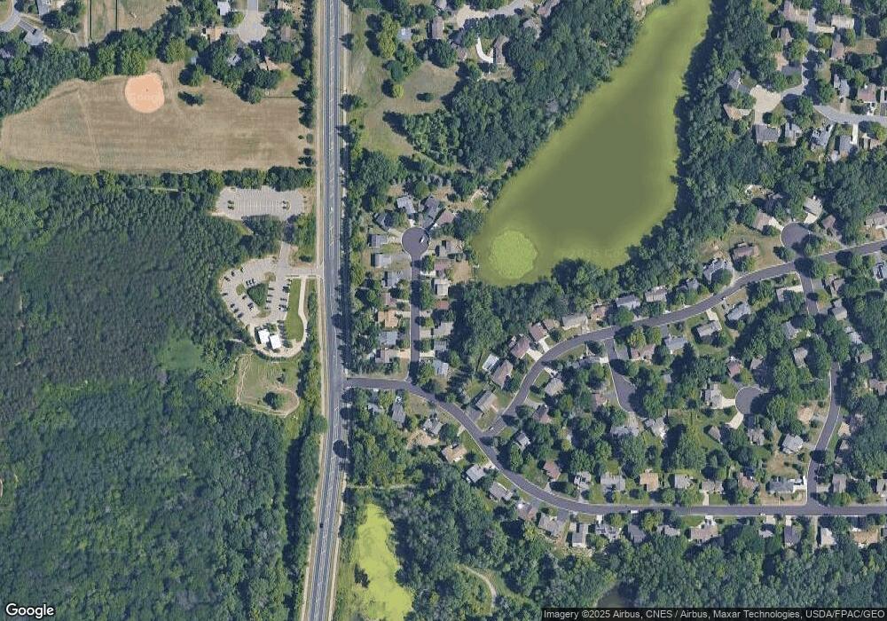
Map
Nearby Homes
- 4765 Penkwe Cir
- 4681 Ridge Cliff Dr
- 4677 Ridge Cliff Dr
- 1761 Karis Way
- 4679 Sorrel Point
- 4646 1/2 Penkwe Way
- 1719 Nokia Way
- 4714 Lenore Ln
- 4694 Lenore Ln
- 4682 Lenore Ln
- 1517 Covington Ln
- 1655 Walnut Ln
- 4633 Stonecliffe Dr
- 1743 Galaxie Ct
- 1676 Hickory Ln
- 4731 Walden Dr
- 4628 Pinetree Curve
- 1778 Walnut Ln
- XXXX Eriks Blvd
- 4401 Clover Ln Unit B
- 4836 Shevlin Ct
- 4824 Shevlin Ct
- 4842 Shevlin Ct
- 4818 Shevlin Ct
- 1663 Norwood Dr
- 4812 Shevlin Ct
- 4848 Shevlin Ct
- 1671 Norwood Dr
- 1655 Norwood Dr
- 4835 Shevlin Ct
- 4829 Shevlin Ct
- 4841 Shevlin Ct
- 4823 Shevlin Ct
- 1677 Sherwood Way
- 4806 Shevlin Ct
- 4817 Shevlin Ct
- 4847 Shevlin Ct
- 1649 Norwood Dr
- 4800 Shevlin Ct
- 1668 Norwood Dr