484 Portland Ave Rollinsford, NH 03869
Estimated Value: $564,000 - $826,000
3
Beds
2
Baths
2,719
Sq Ft
$262/Sq Ft
Est. Value
About This Home
This home is located at 484 Portland Ave, Rollinsford, NH 03869 and is currently estimated at $712,506, approximately $262 per square foot. 484 Portland Ave is a home located in Strafford County with nearby schools including Rollinsford Grade School, St Mary Academy, and My School.
Ownership History
Date
Name
Owned For
Owner Type
Purchase Details
Closed on
Jun 16, 2025
Sold by
Morgridge Bruce R
Bought by
Bruce R Morgridge Ret and Morgridge
Current Estimated Value
Purchase Details
Closed on
Mar 19, 2013
Sold by
Jones Bradley R
Bought by
Morgridge Bruce R
Purchase Details
Closed on
Sep 10, 2010
Sold by
Plante Raymond A and Jones Bradley R
Bought by
Jones Bradley R
Create a Home Valuation Report for This Property
The Home Valuation Report is an in-depth analysis detailing your home's value as well as a comparison with similar homes in the area
Home Values in the Area
Average Home Value in this Area
Purchase History
| Date | Buyer | Sale Price | Title Company |
|---|---|---|---|
| Bruce R Morgridge Ret | -- | None Available | |
| Bruce R Morgridge Ret | -- | None Available | |
| Morgridge Bruce R | $85,000 | -- | |
| Morgridge Bruce R | $85,000 | -- | |
| Jones Bradley R | $76,000 | -- | |
| Jones Bradley R | $76,000 | -- |
Source: Public Records
Tax History Compared to Growth
Tax History
| Year | Tax Paid | Tax Assessment Tax Assessment Total Assessment is a certain percentage of the fair market value that is determined by local assessors to be the total taxable value of land and additions on the property. | Land | Improvement |
|---|---|---|---|---|
| 2024 | $10,383 | $632,700 | $242,400 | $390,300 |
| 2023 | $9,731 | $632,700 | $242,400 | $390,300 |
| 2022 | $9,408 | $632,700 | $242,400 | $390,300 |
| 2021 | $9,954 | $408,300 | $137,600 | $270,700 |
| 2020 | $10,077 | $408,300 | $137,600 | $270,700 |
| 2019 | $9,232 | $408,300 | $137,600 | $270,700 |
| 2018 | $8,343 | $345,600 | $126,200 | $219,400 |
| 2016 | $2,809 | $100,400 | $100,400 | $0 |
| 2015 | $2,960 | $107,900 | $107,900 | $0 |
| 2014 | $2,859 | $107,900 | $107,900 | $0 |
| 2013 | $2,900 | $107,900 | $107,900 | $0 |
Source: Public Records
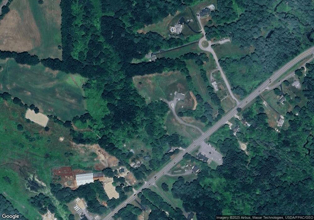
Map
Nearby Homes
- Lot 6 Emerson Ridge Unit 6
- Lot 8 Emerson Ridge Unit 8
- 11 Country Club Estates Dr Unit 11
- 24 Atlantic Ave
- 27 Atlantic Ave
- 23 Townsend Dr
- 96 Broadway Unit 98
- 36 Oak St
- 34 Floral Ave Unit 5
- 8 Gerrys Ln
- 3 Cocheco St
- 713 Central Ave Unit 1
- 725 Central Ave Unit 203
- 725 Central Ave Unit LL03
- 725 Central Ave Unit 301
- 725 Central Ave Unit 302
- 725 Central Ave Unit LL01
- 725 Central Ave Unit 304
- 46-50 Cocheco St
- 45 New York St Unit 8